Territory of Entanglement
Ph.D. thesis, 2021
Aarhus School of Architecture
‘Territory of Entanglement’ is the title of Rasmus's Ph.D. dissertation from 2021, carried out at the Aarhus School of Architecture's research department featuring studies of coastal landscapes, urbanism, and aesthetics in the Anthropocene.
The thesis explores how coastal landscapes in the Anthropocene are not merely created through dynamic natural processes. Rather, they can be seen as a collection of hybrid assemblages heavily programmed and designed by societal processes through coastal protection systems, infrastructure, production areas, and cityscapes.
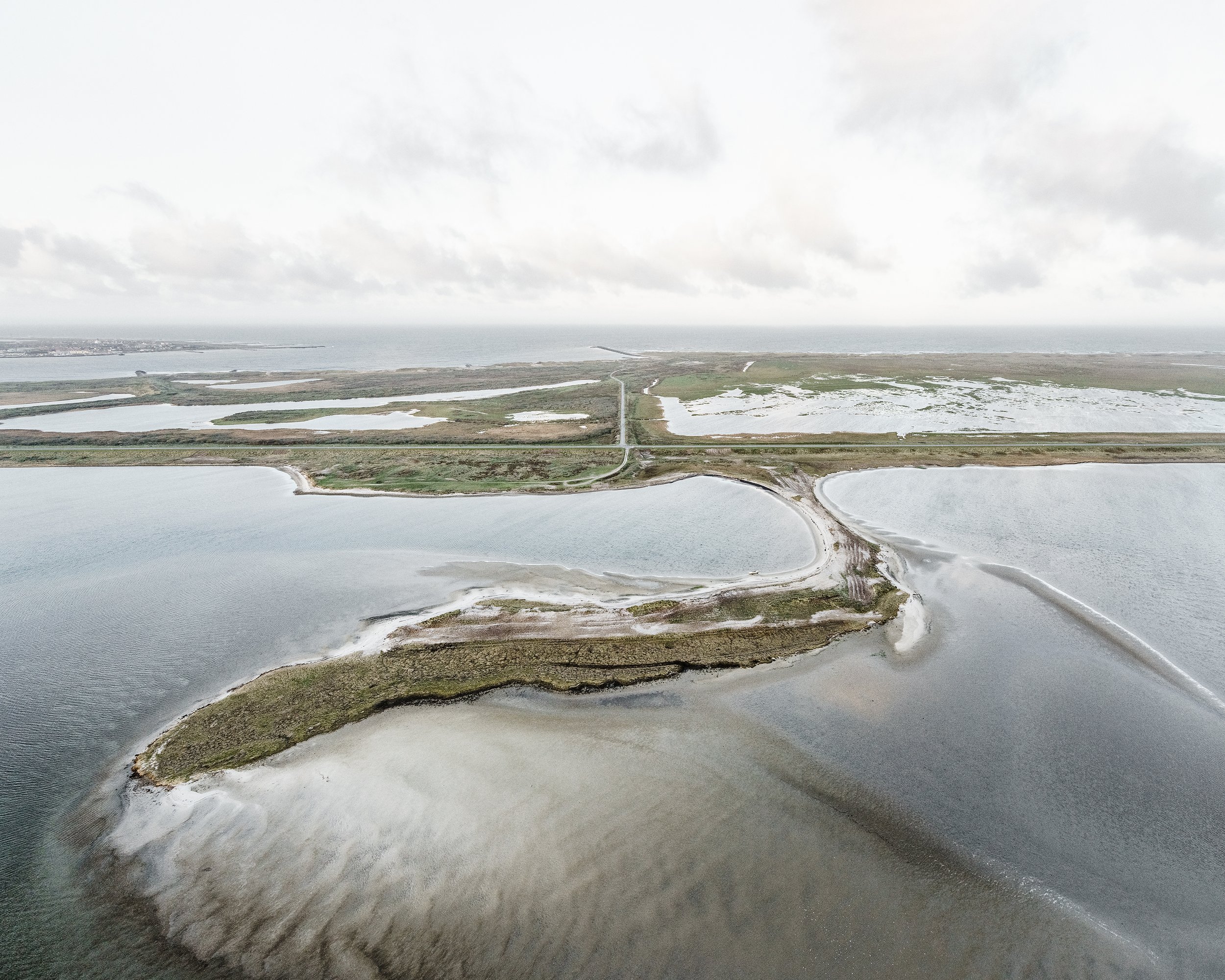
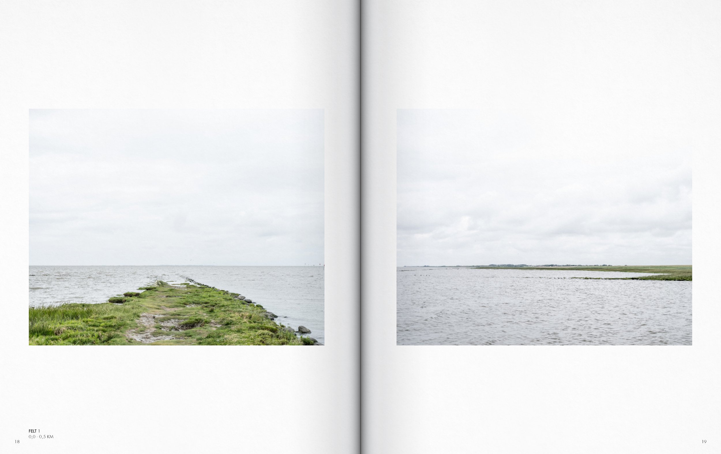
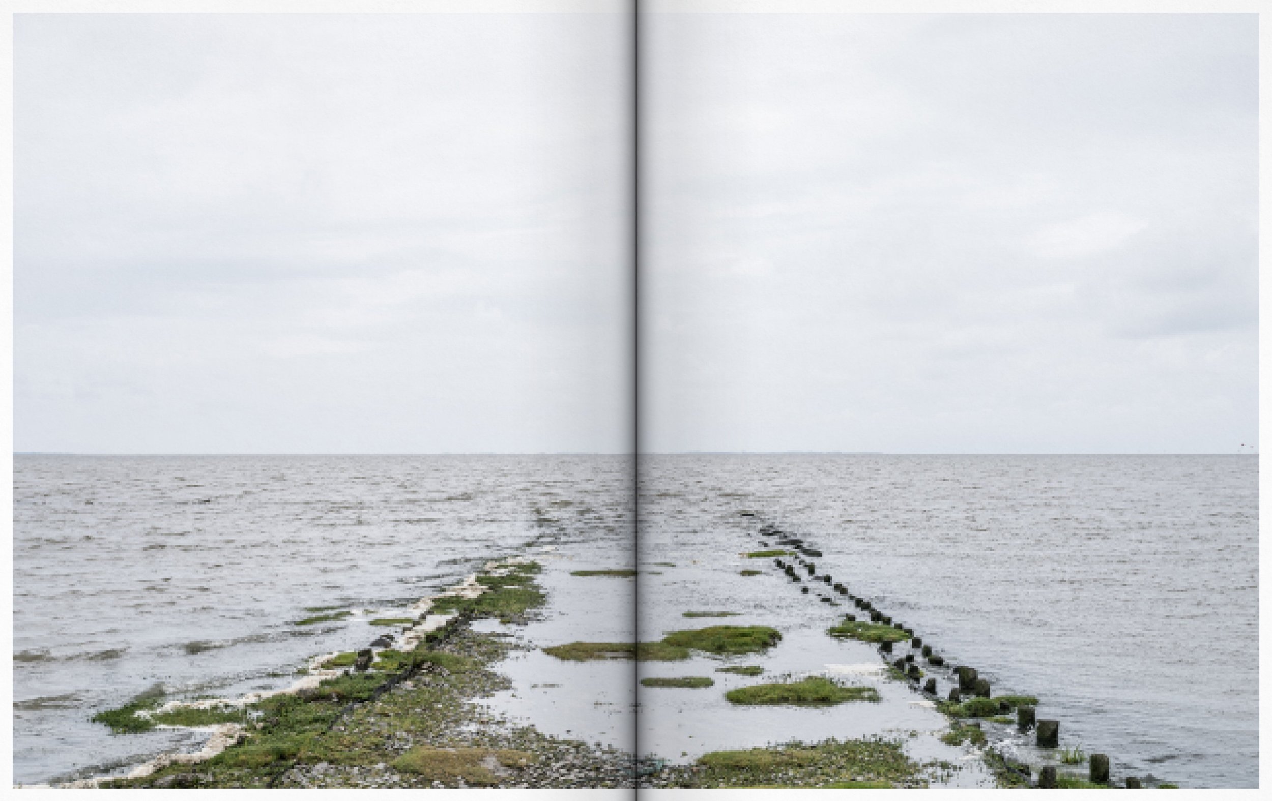
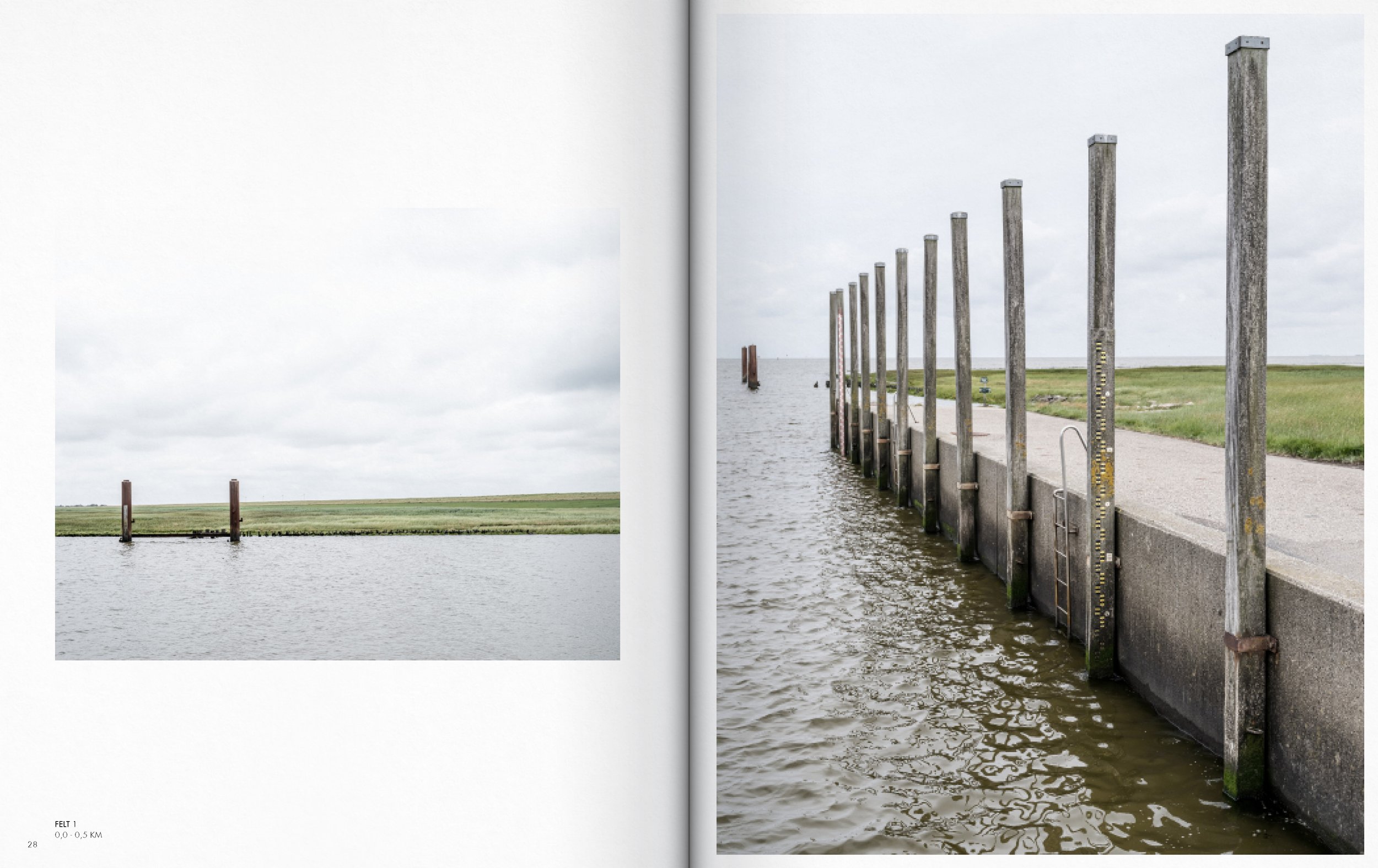
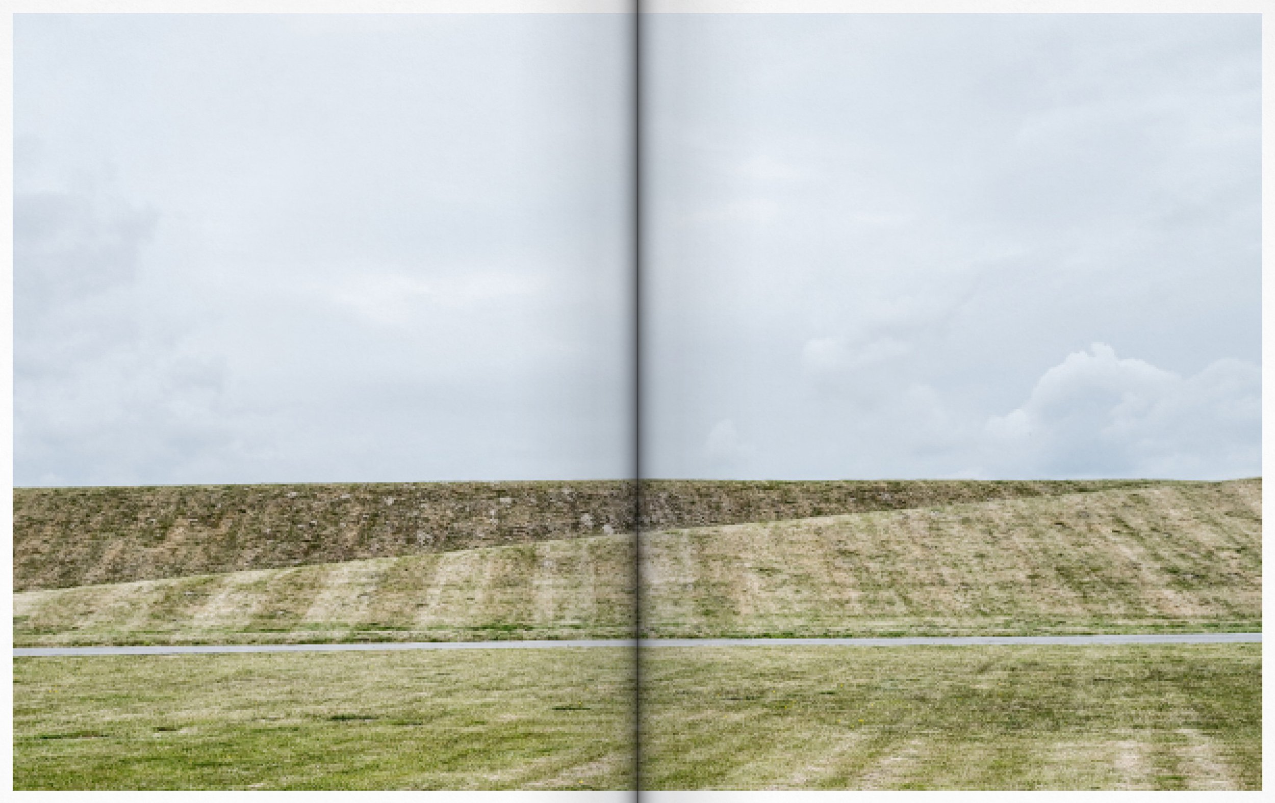
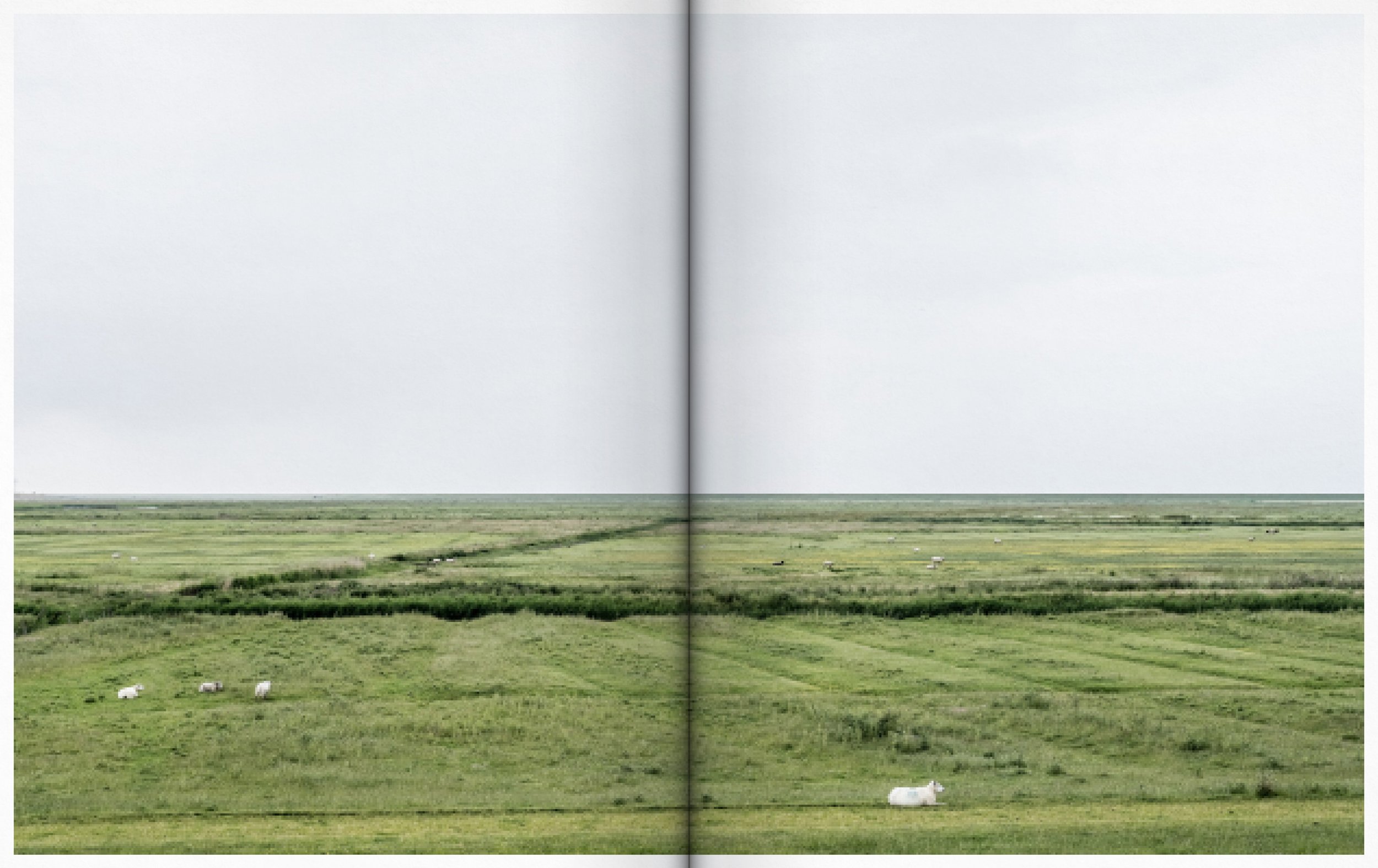
Edgezone of the Rømø dam.
The often heralded ‘natural’ and ‘beautiful’ coastal territory is not an untouched landscape that arises exclusively through nature's geophysical processes. It is shaped both by geophysical processes and by human programming, function, care, safety measures, logistics, transport corridors and production areas etc. - an entanglement of processes that determine the physical character of the coastal landscapes. This means the territory can neither be described purely as 'natural' nor as something that is exclusively produced by cultural processes.
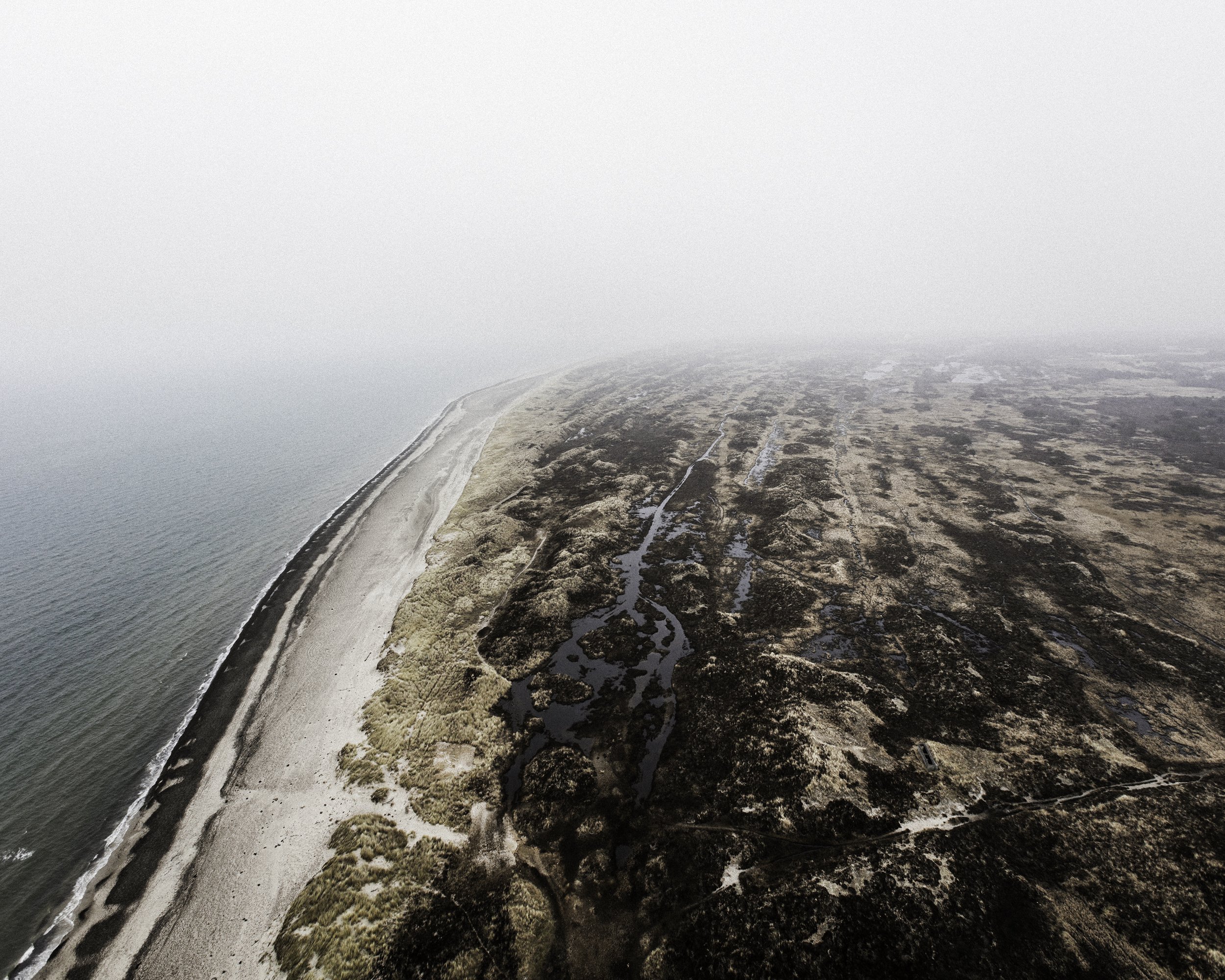
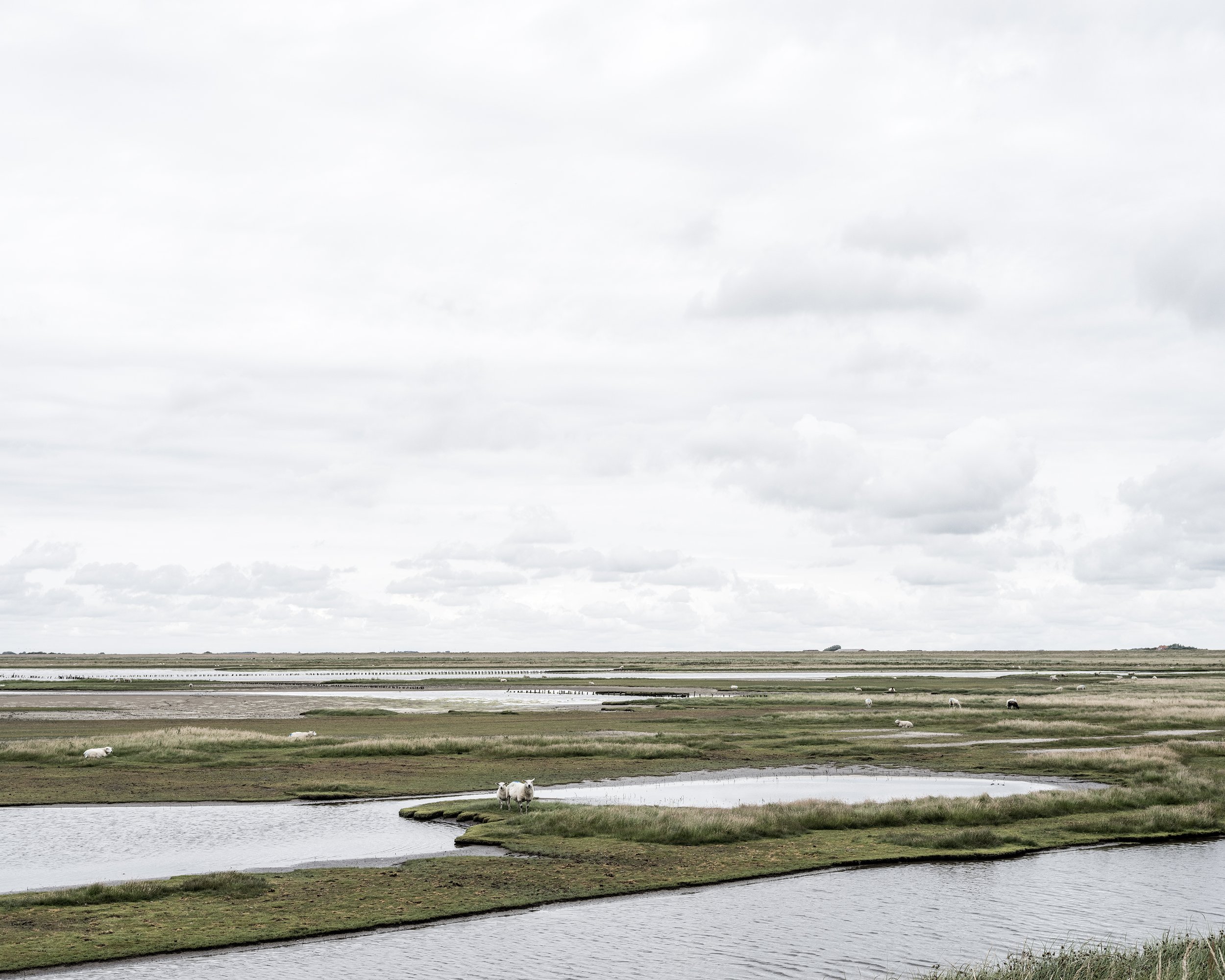
Agger Tange in Thy National Park
Rather the territory can be seen as something that lies beyond or in-between the traditional meanings of nature. A post-nature where that which seems ‘natural’ is always conditioned by societal and human interaction.
The purpose of the thesis is to provide a snapshot of the current state of the coastal territory and to examine how previous planning has shaped the spatial conditions, atmospheres, and physical properties that define the experience of the coastal territory today.
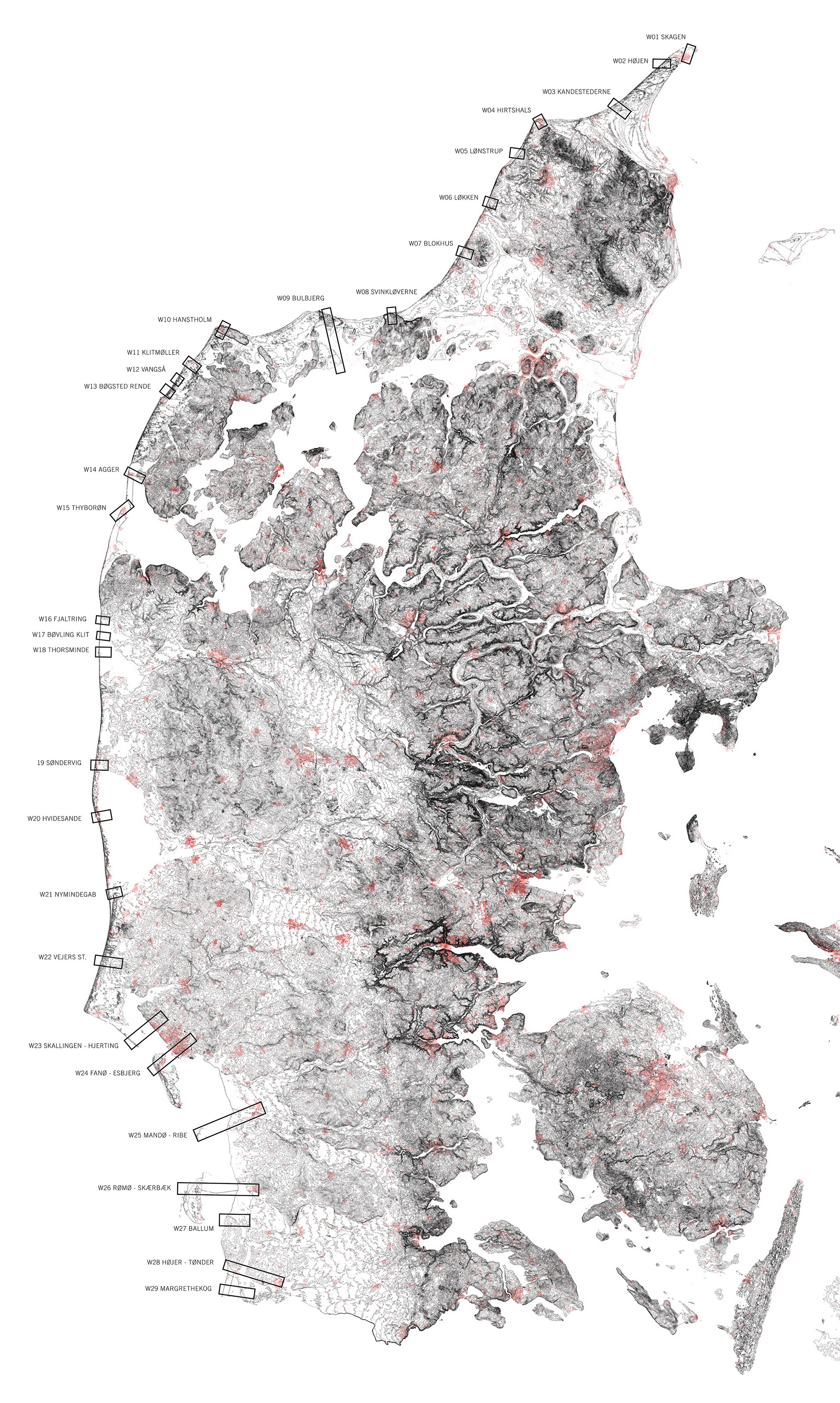
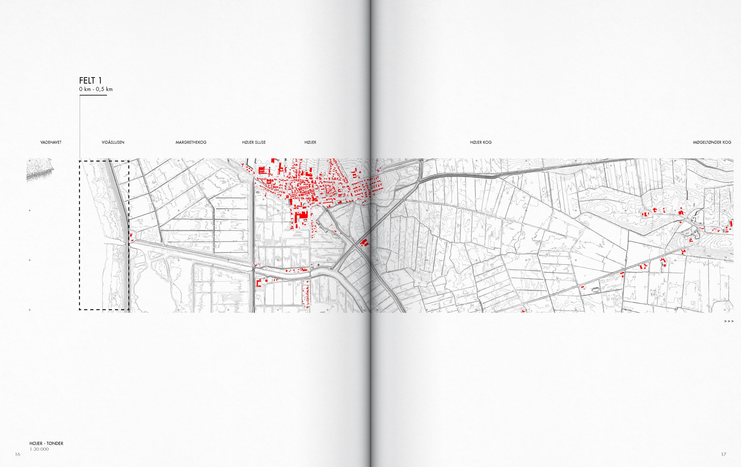
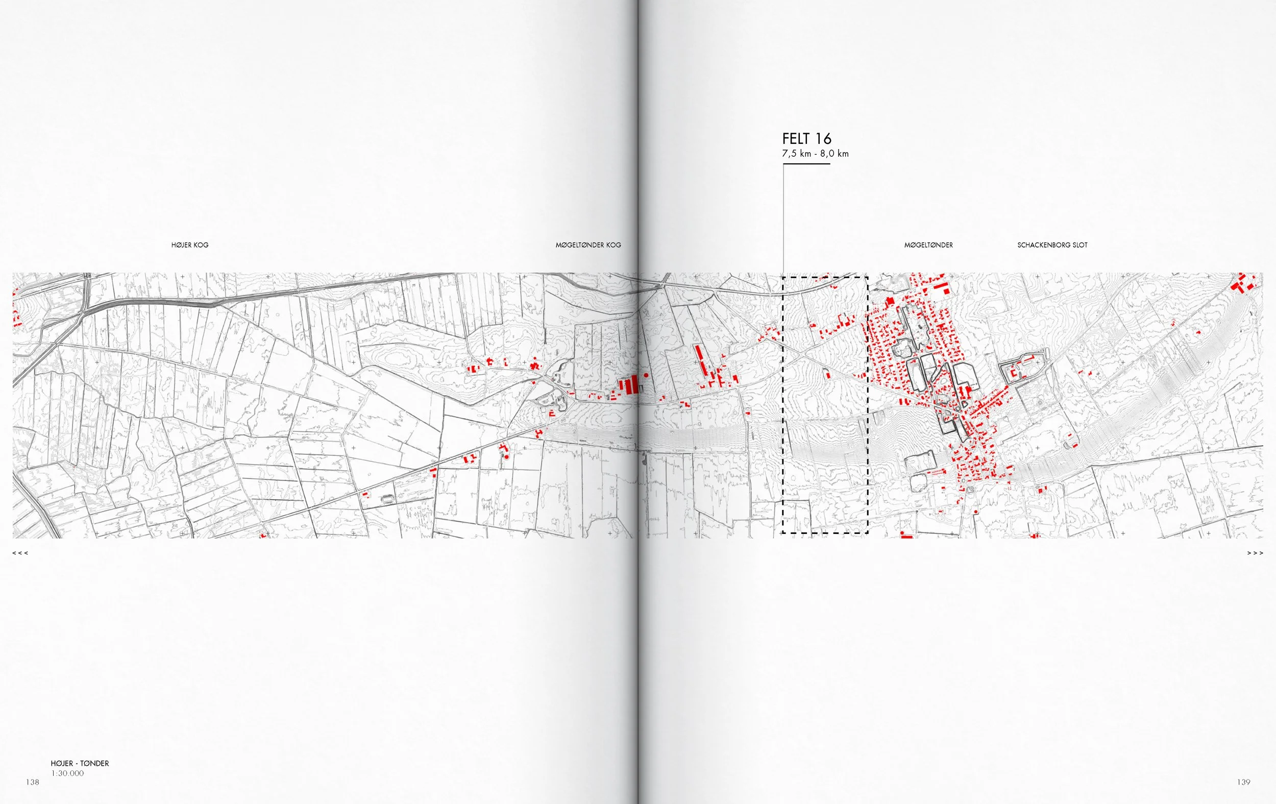
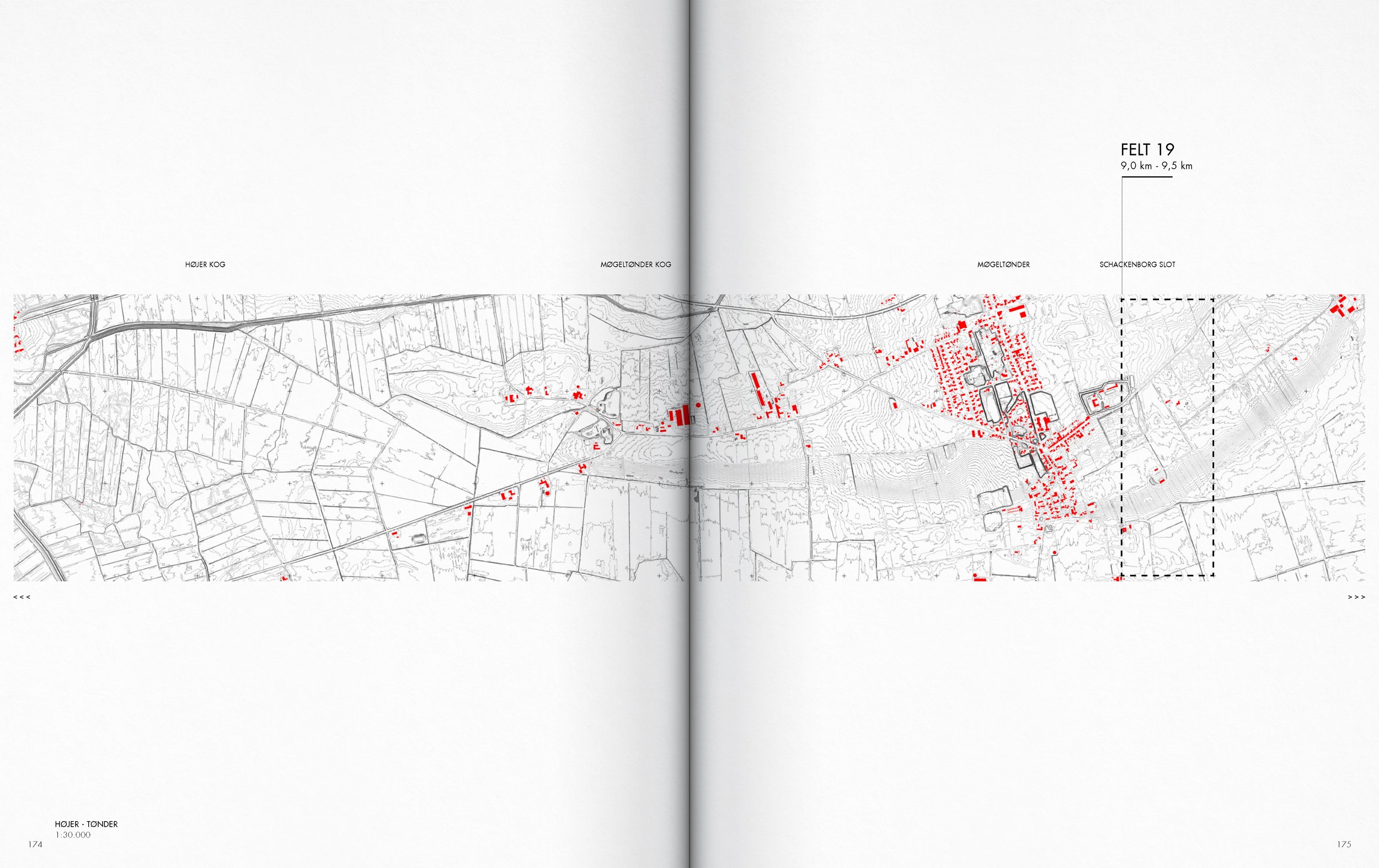
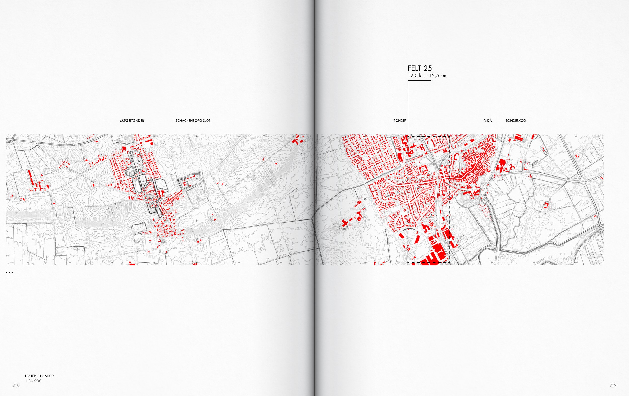
Map of cross sections traversing the coastal territory
Part of the contribution of the project lies in incorporating this hinterland into a photographic mapping that insists on the inclusion of the hinterland into the discussion around the interaction with urbanized coastal territories. This is done by considering both the coastal foreland and hinterland as both being part of a territory of entanglement.
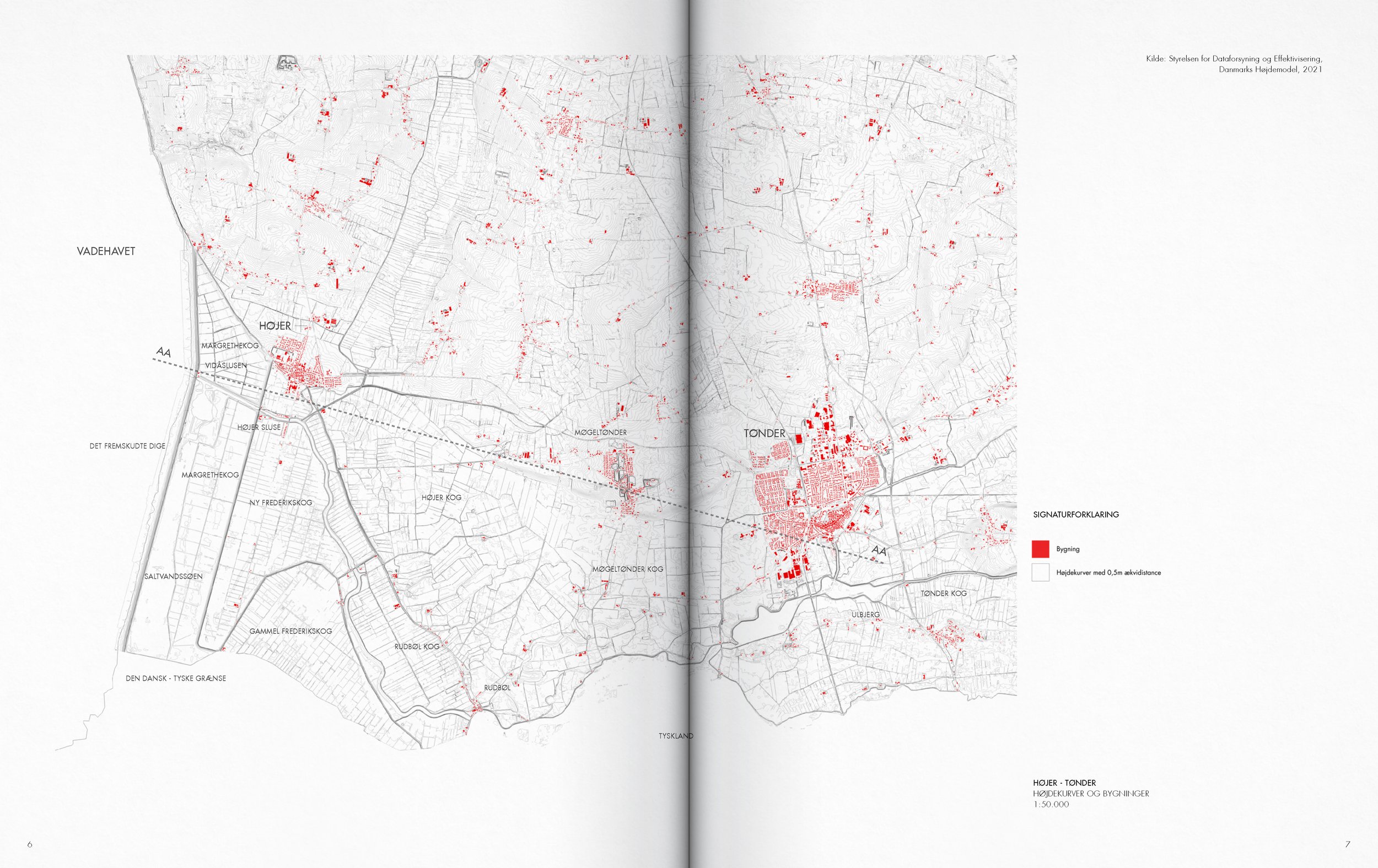
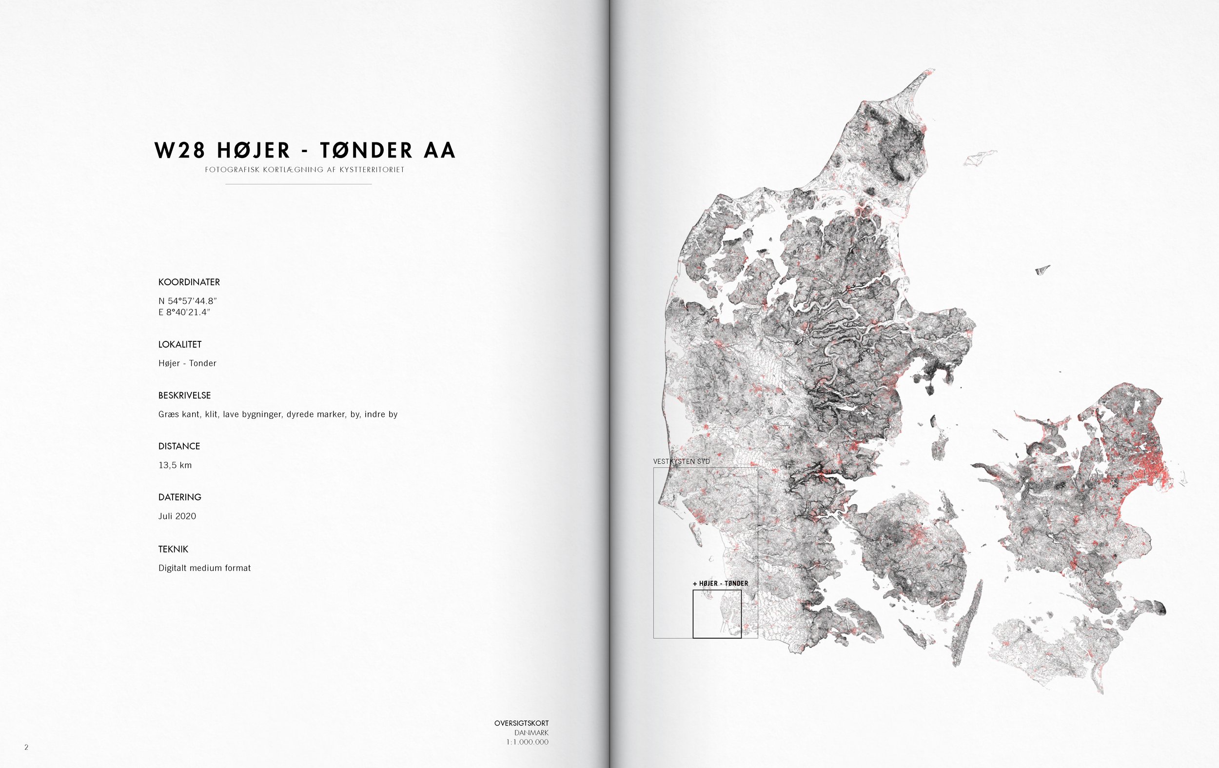
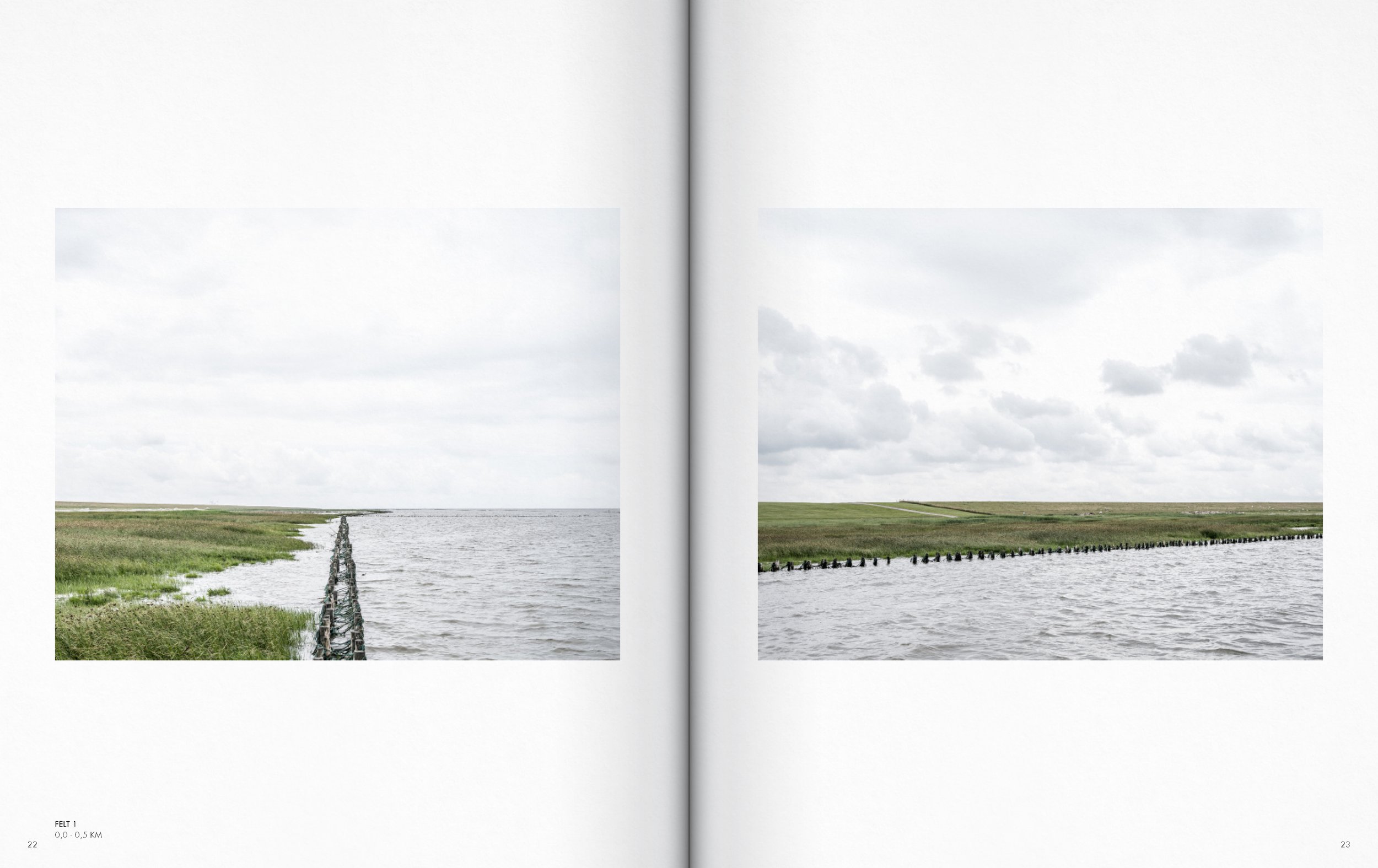
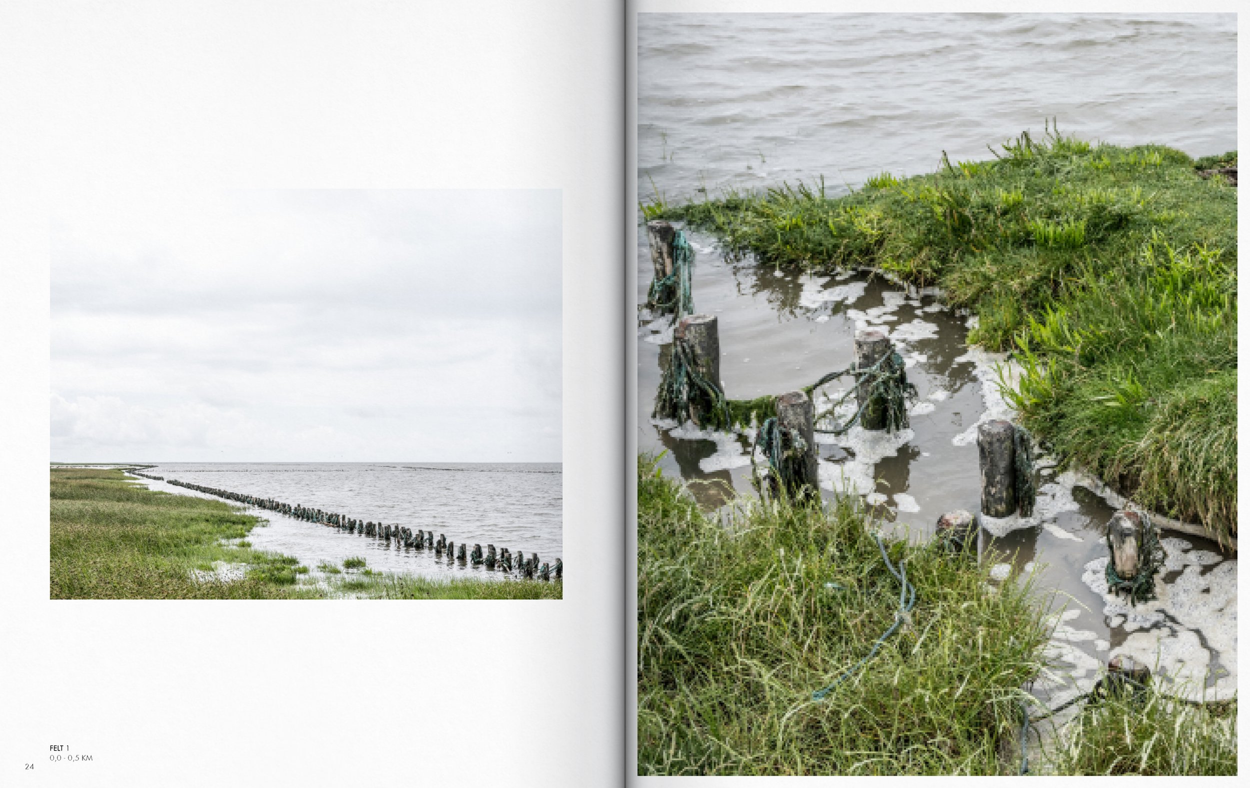
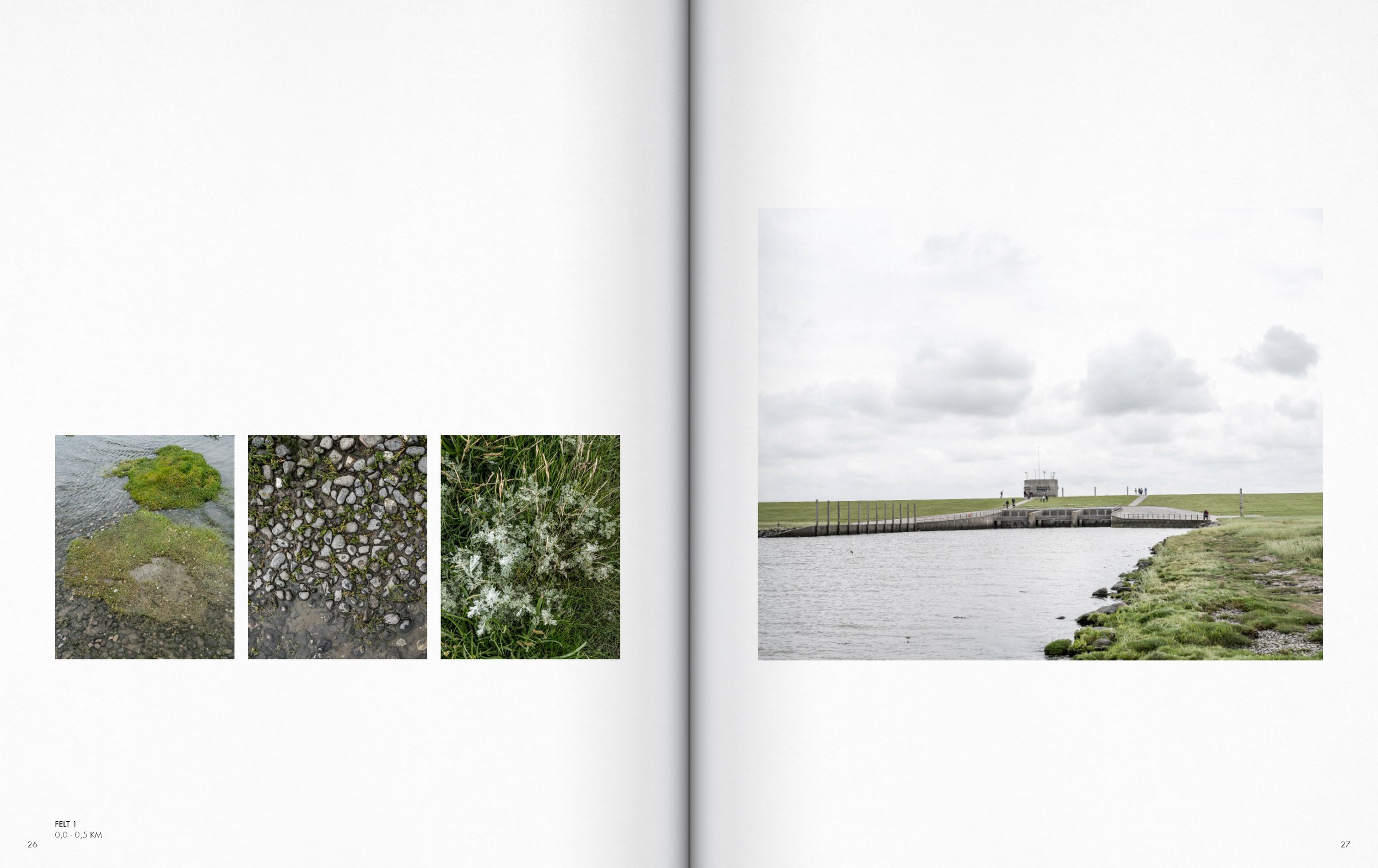
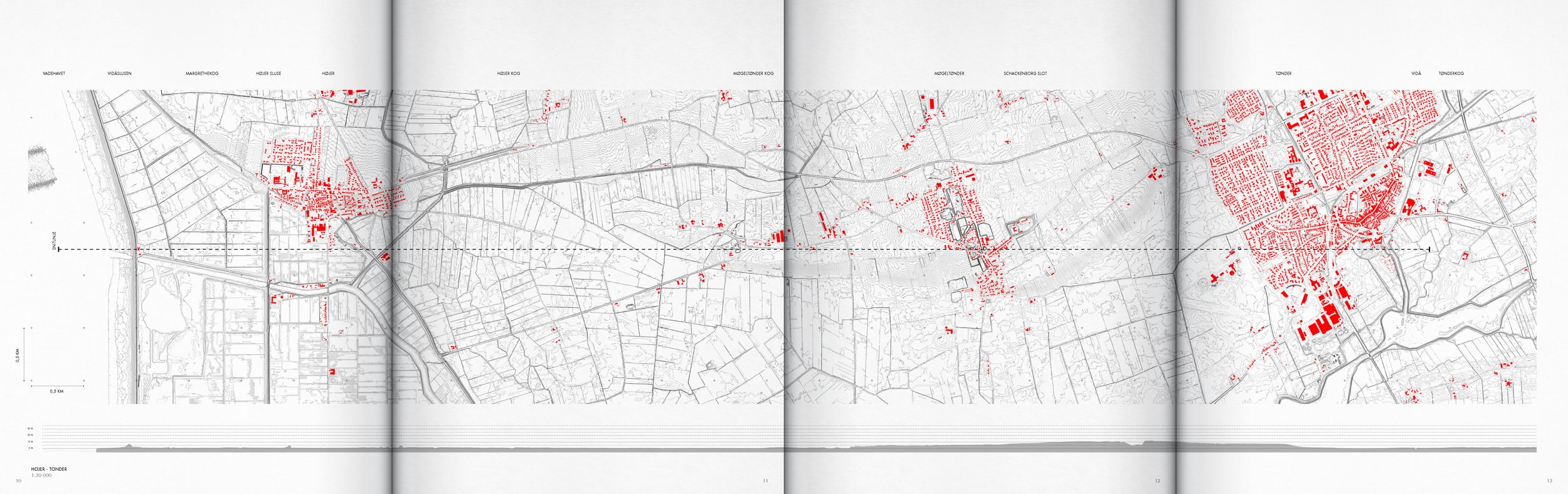
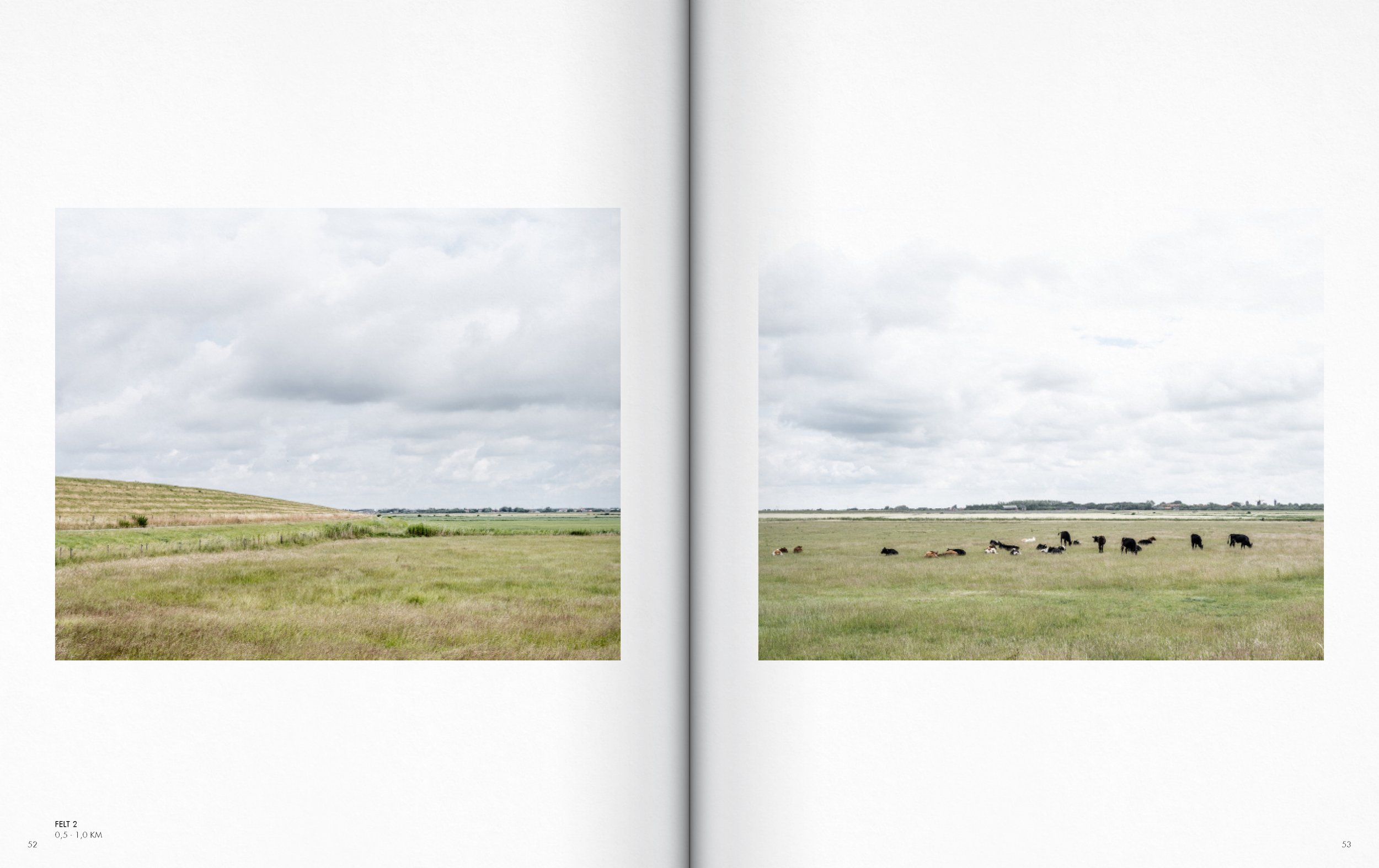
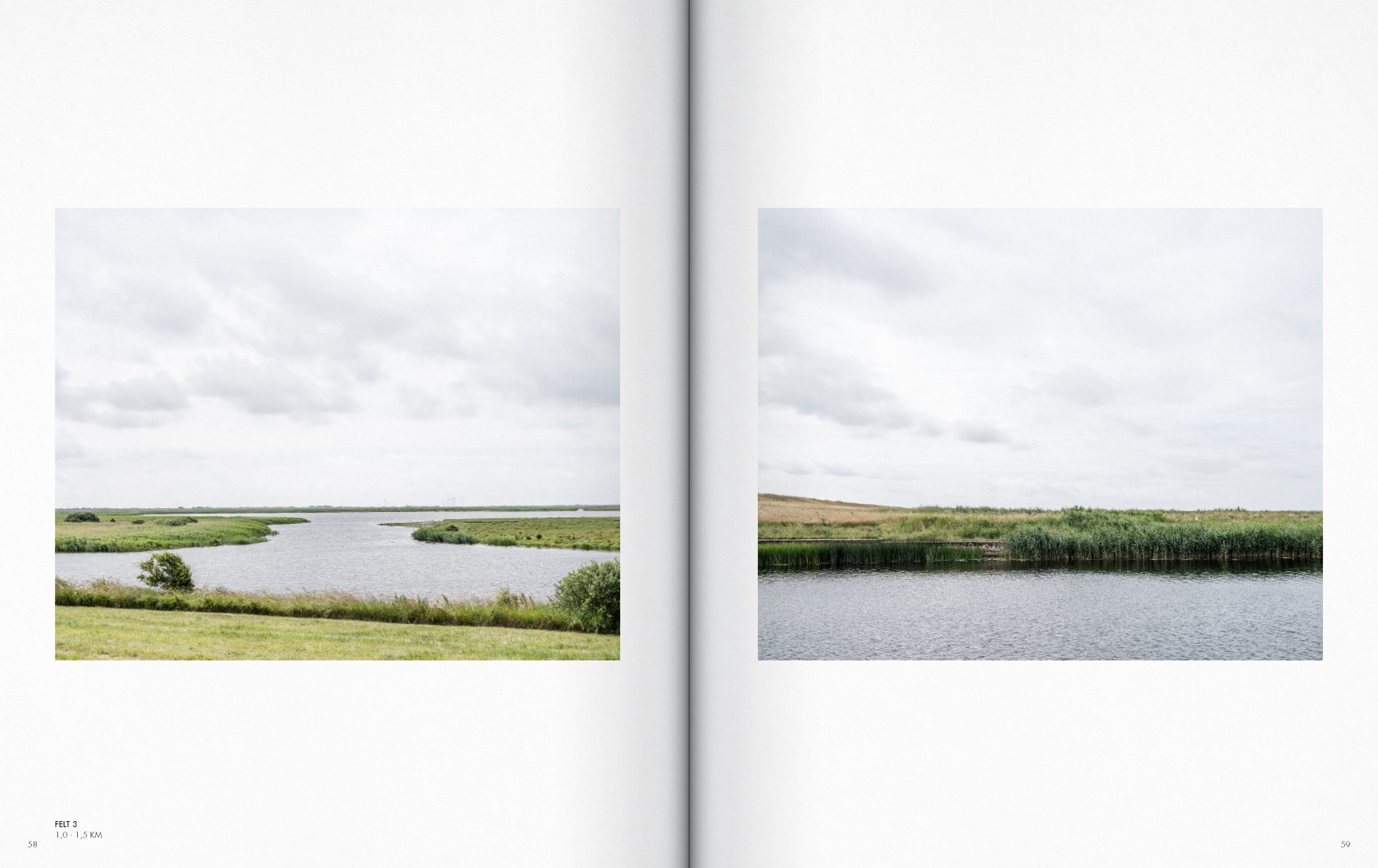
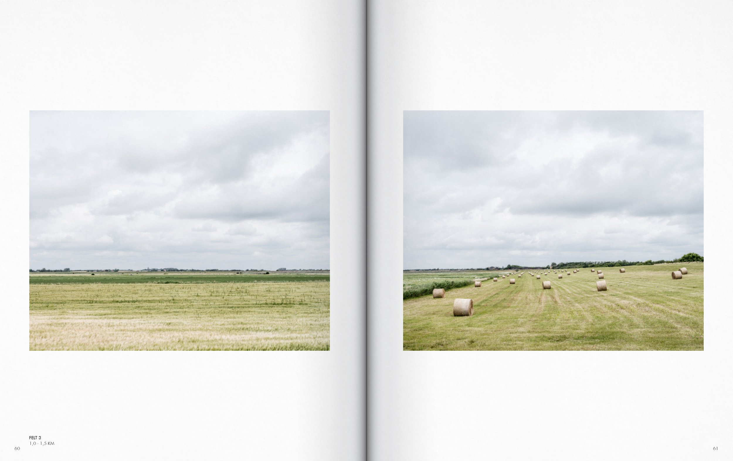
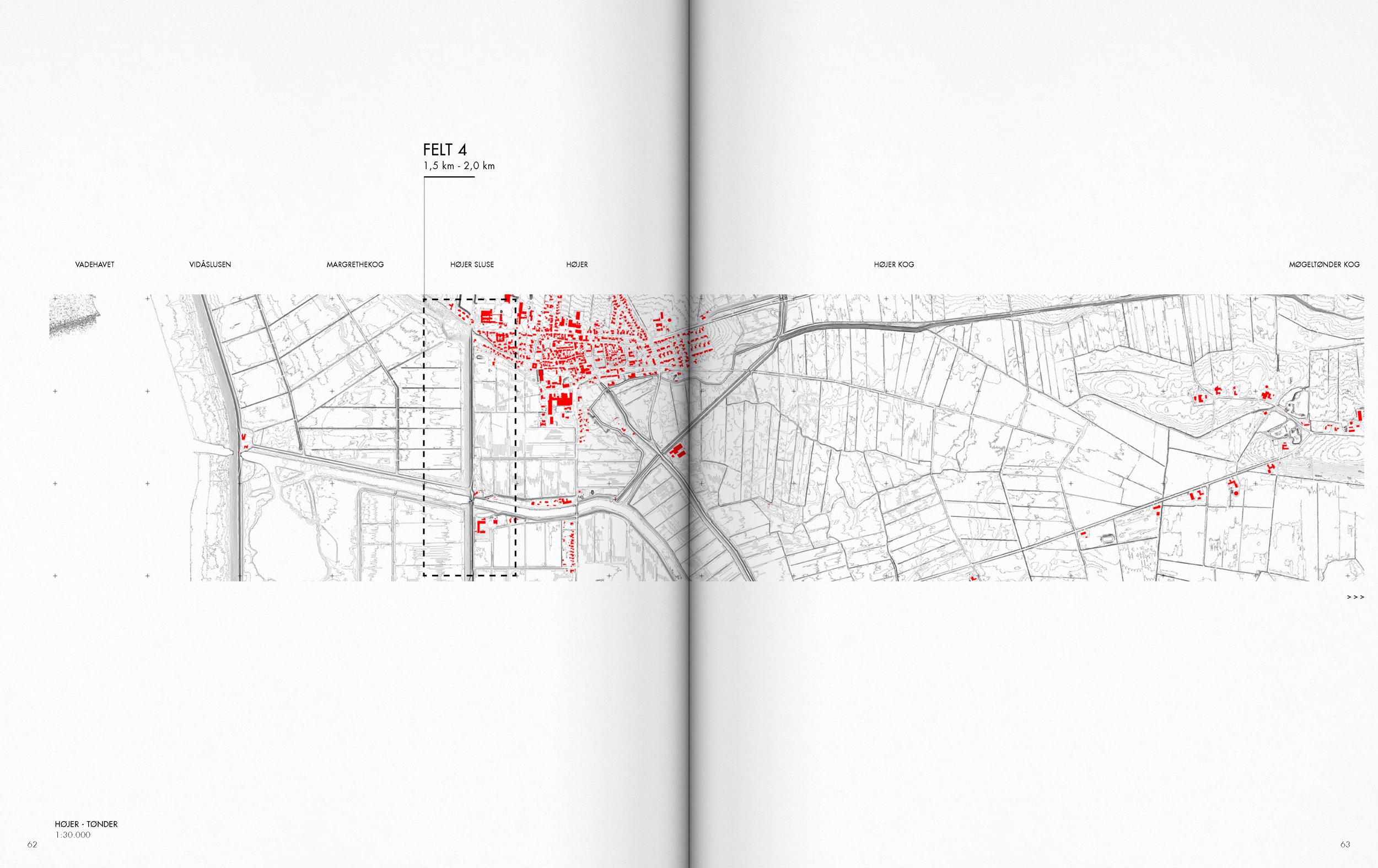
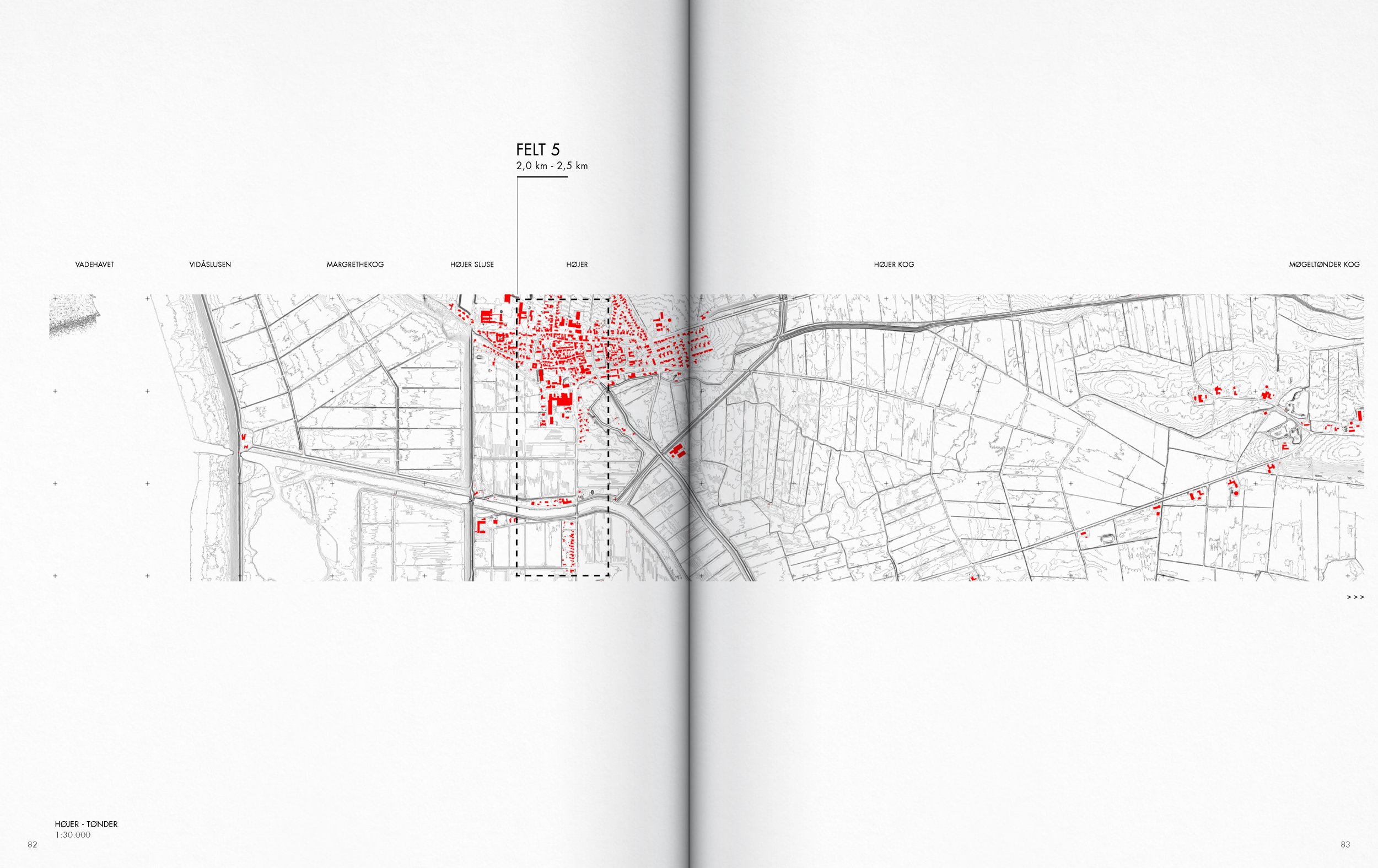
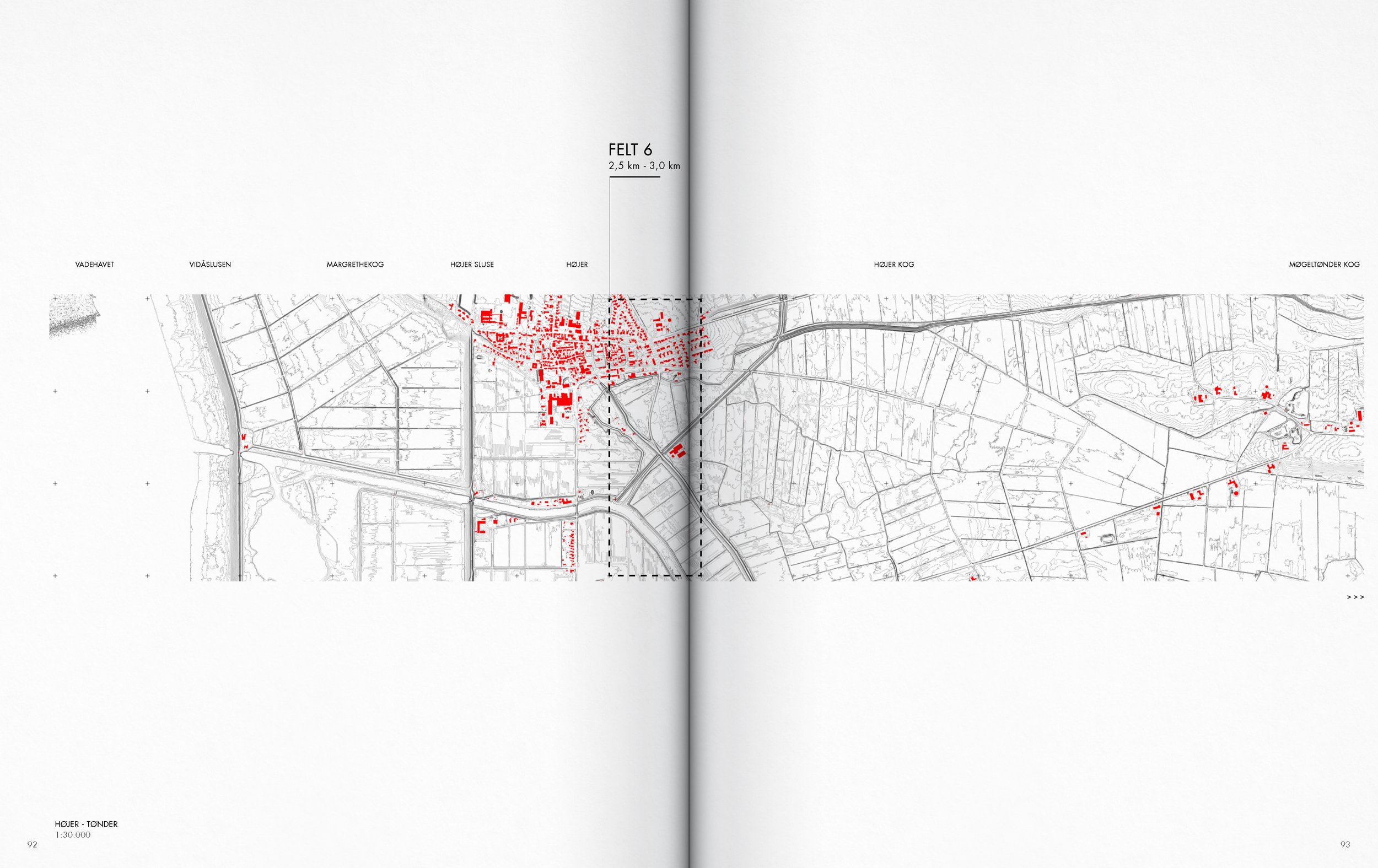
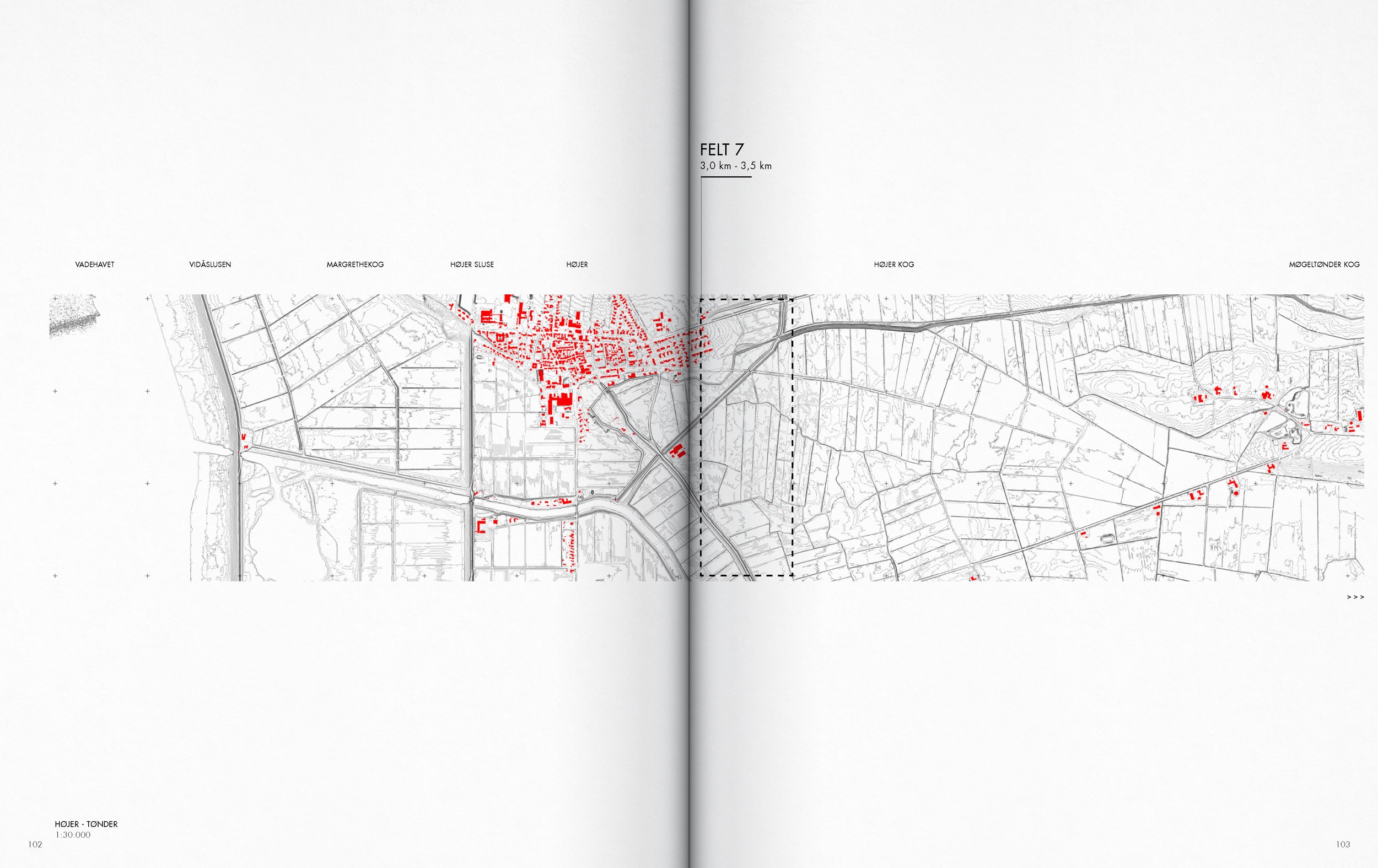
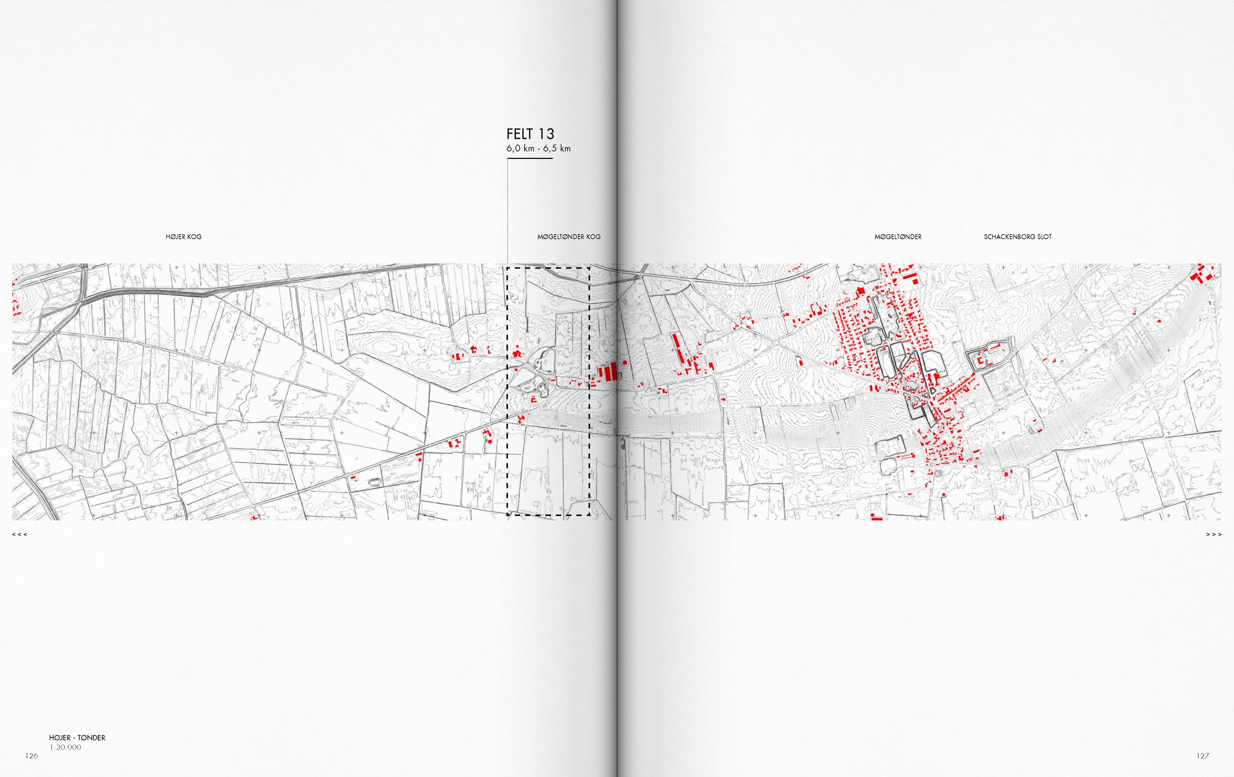
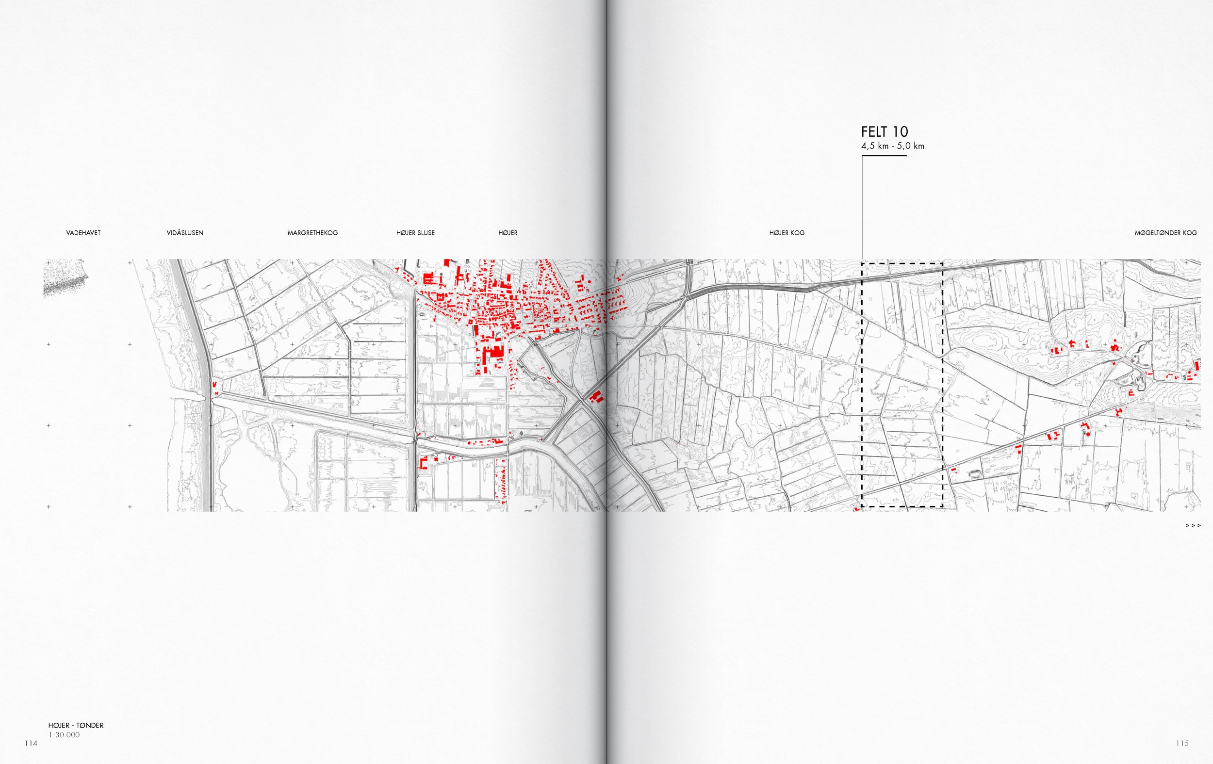
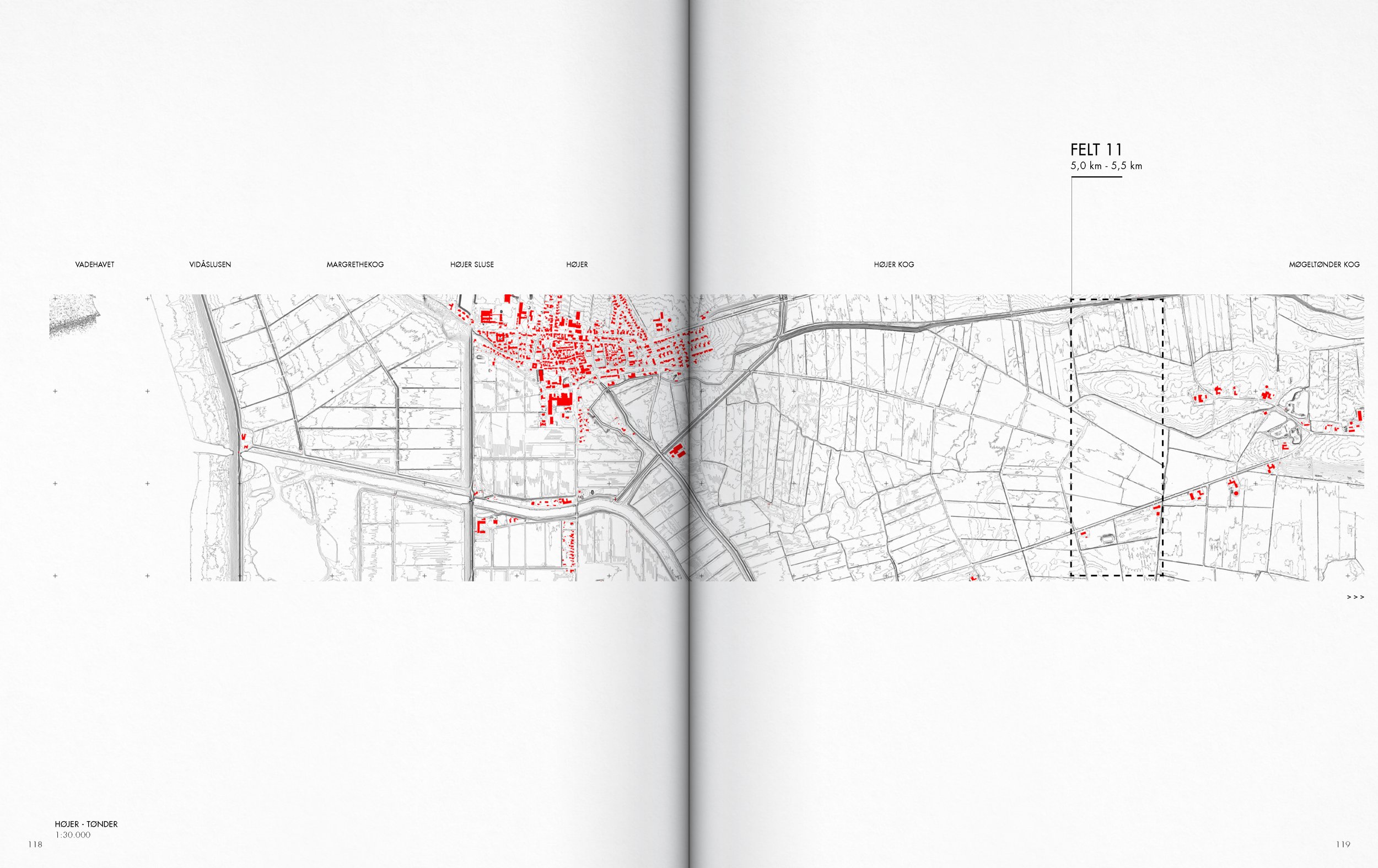
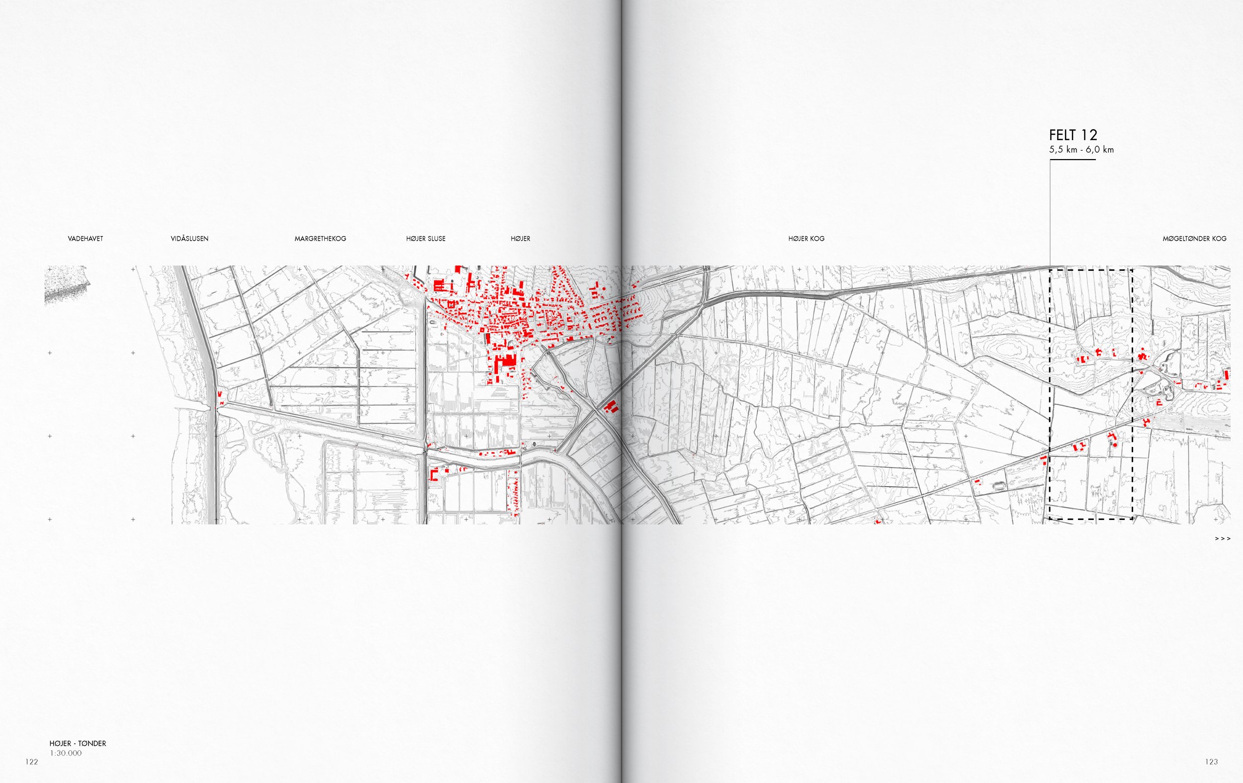
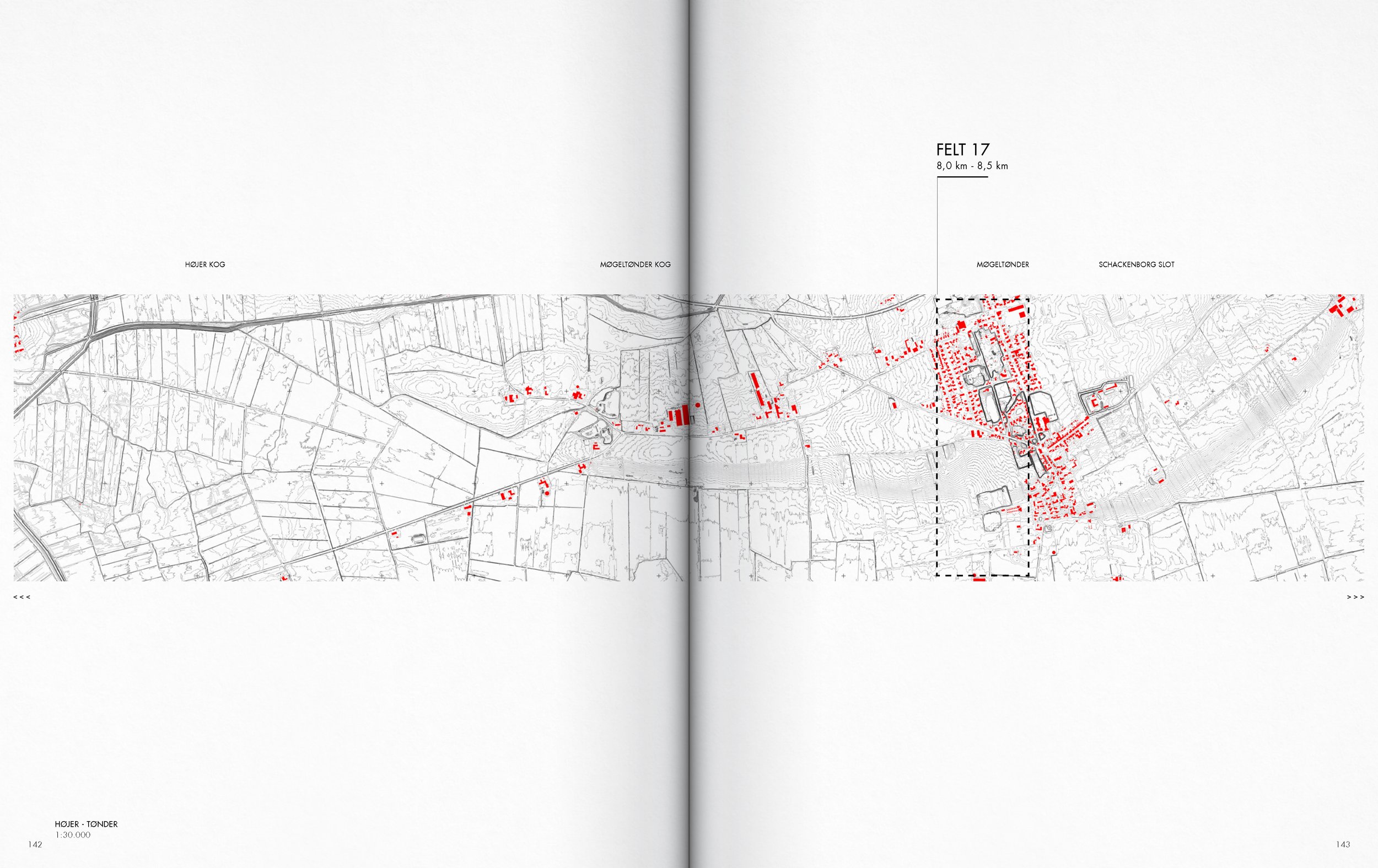
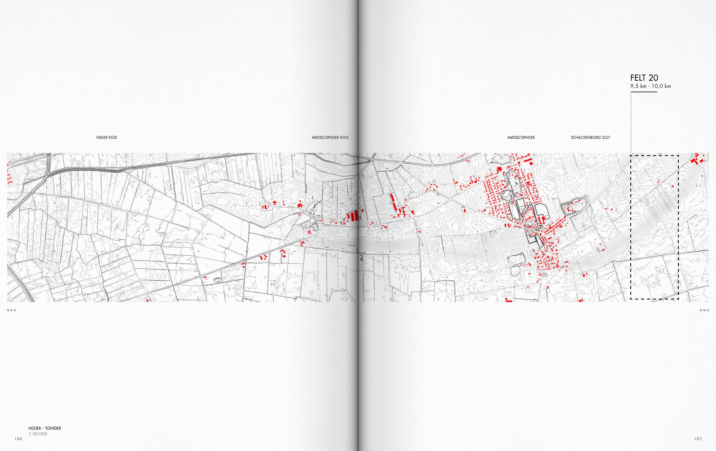
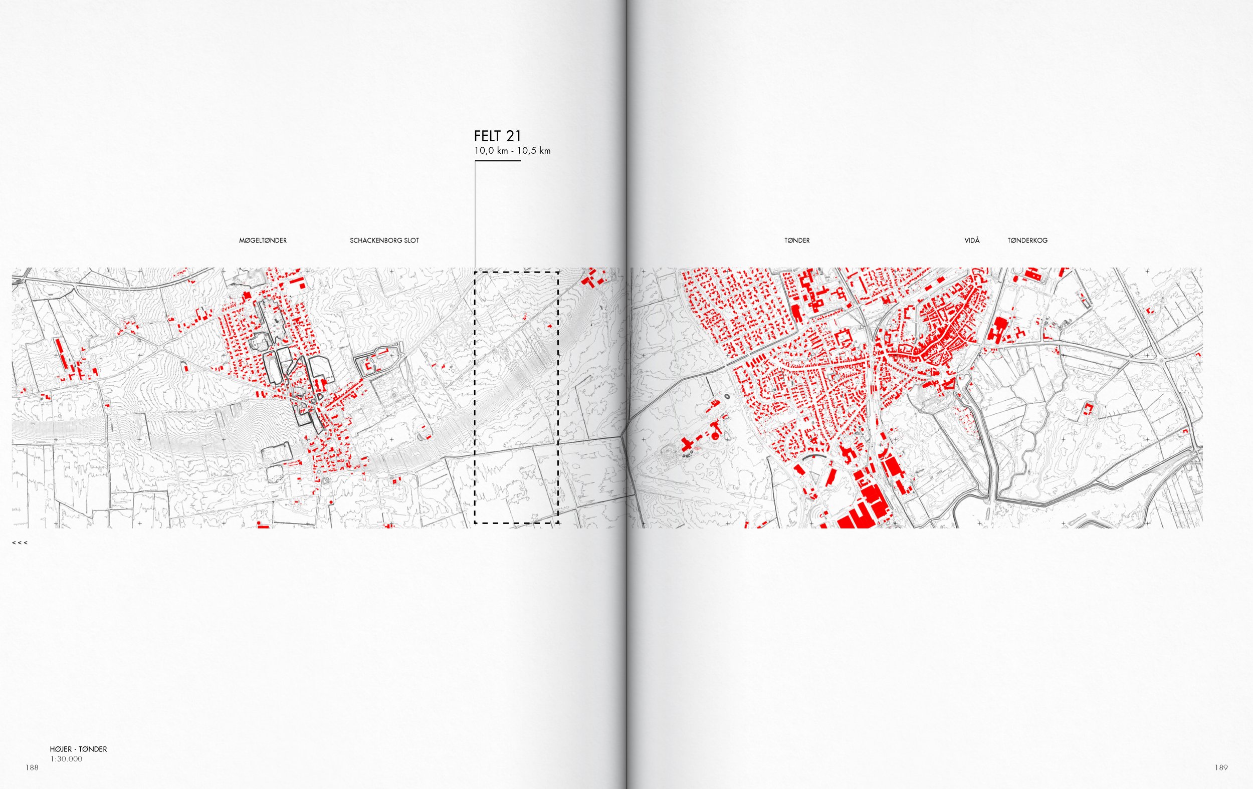
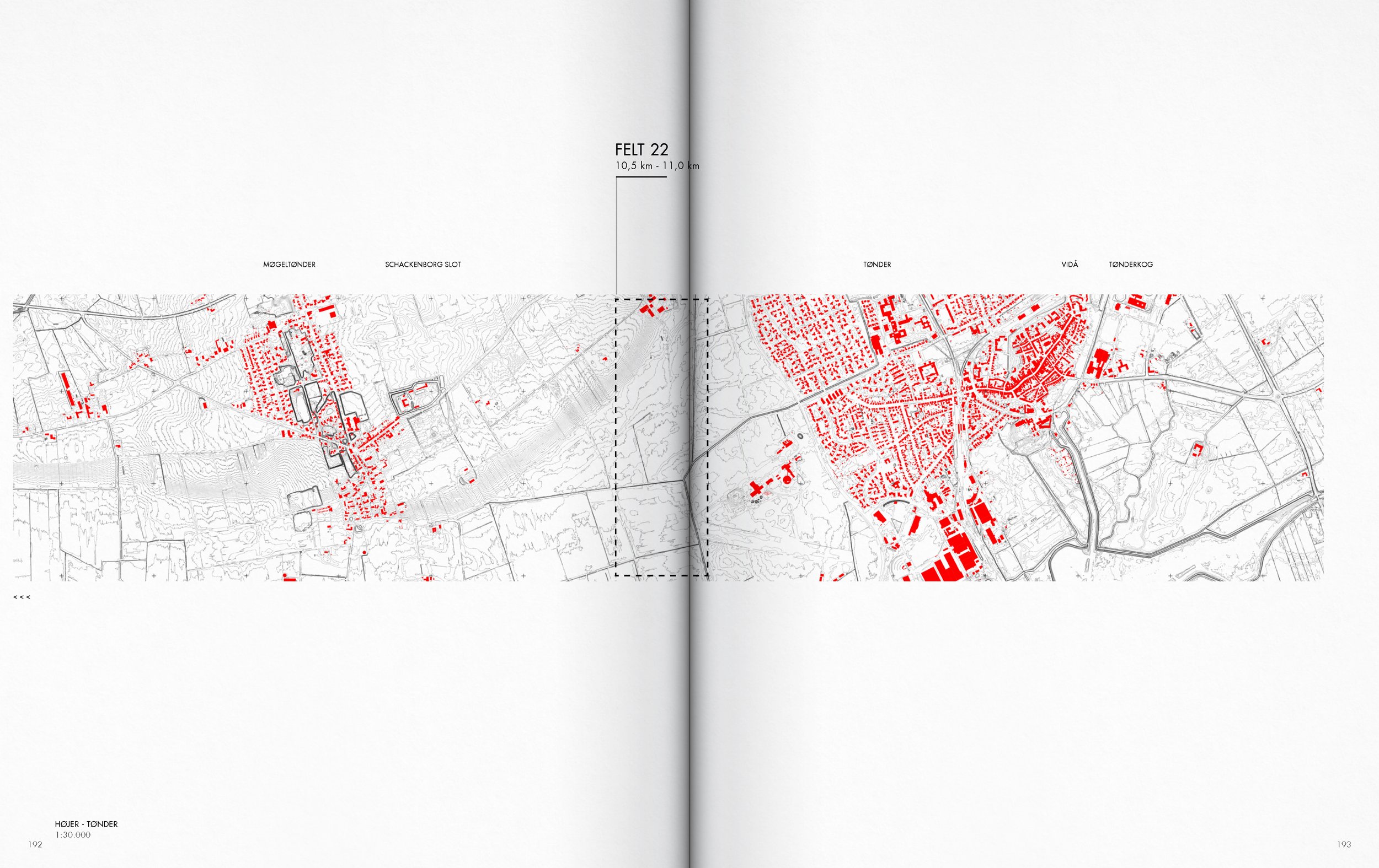
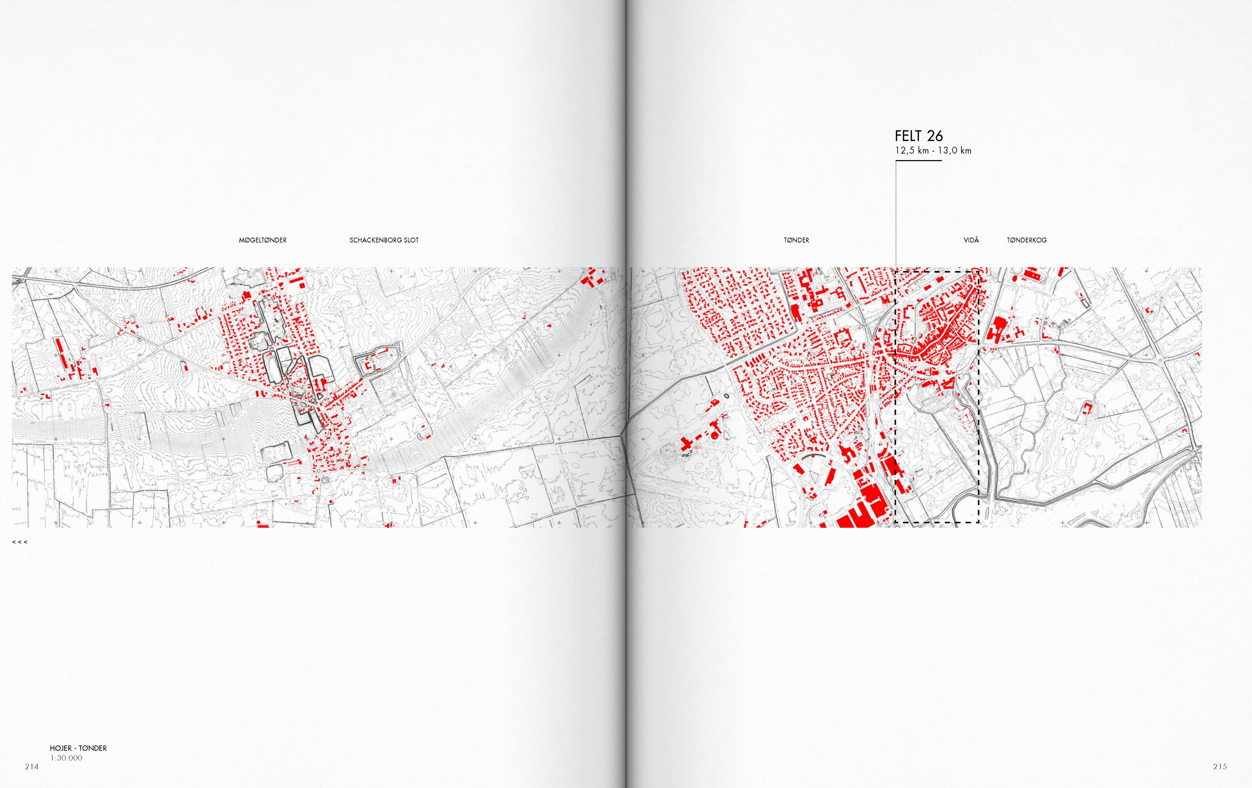
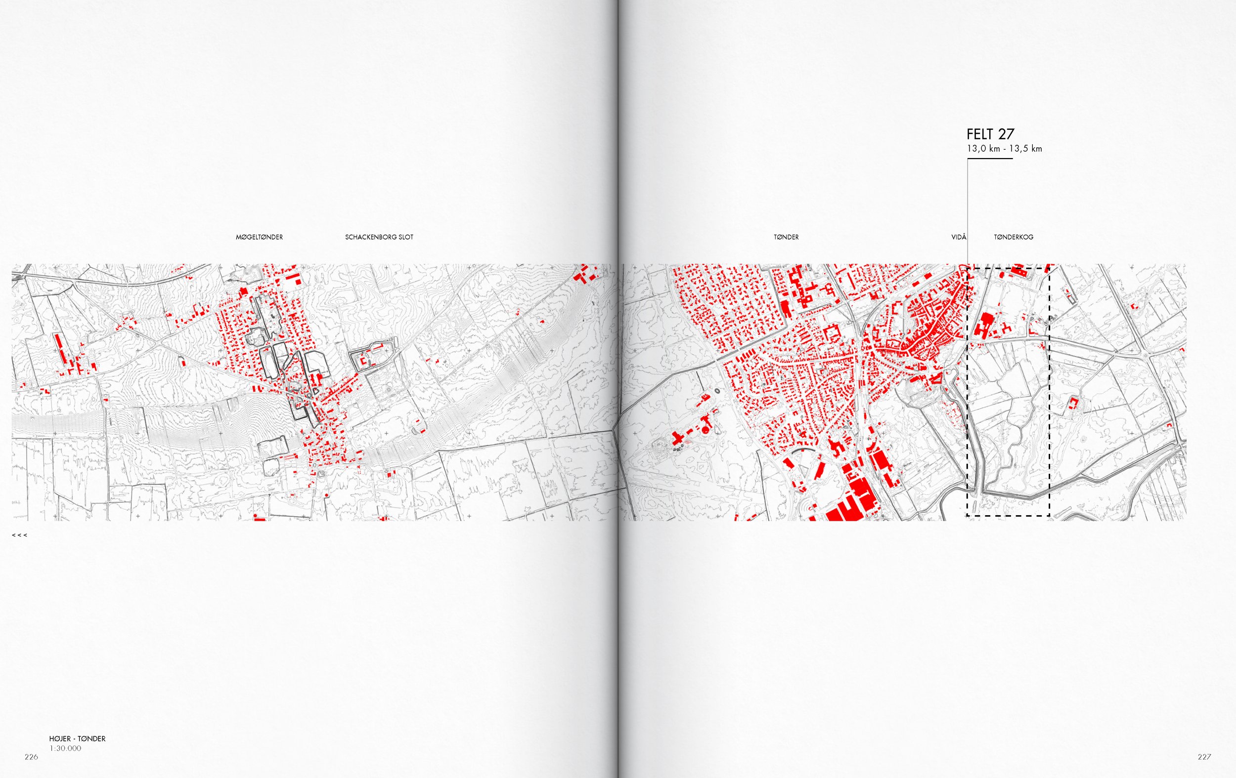
SECTION Højer - Tønder AA
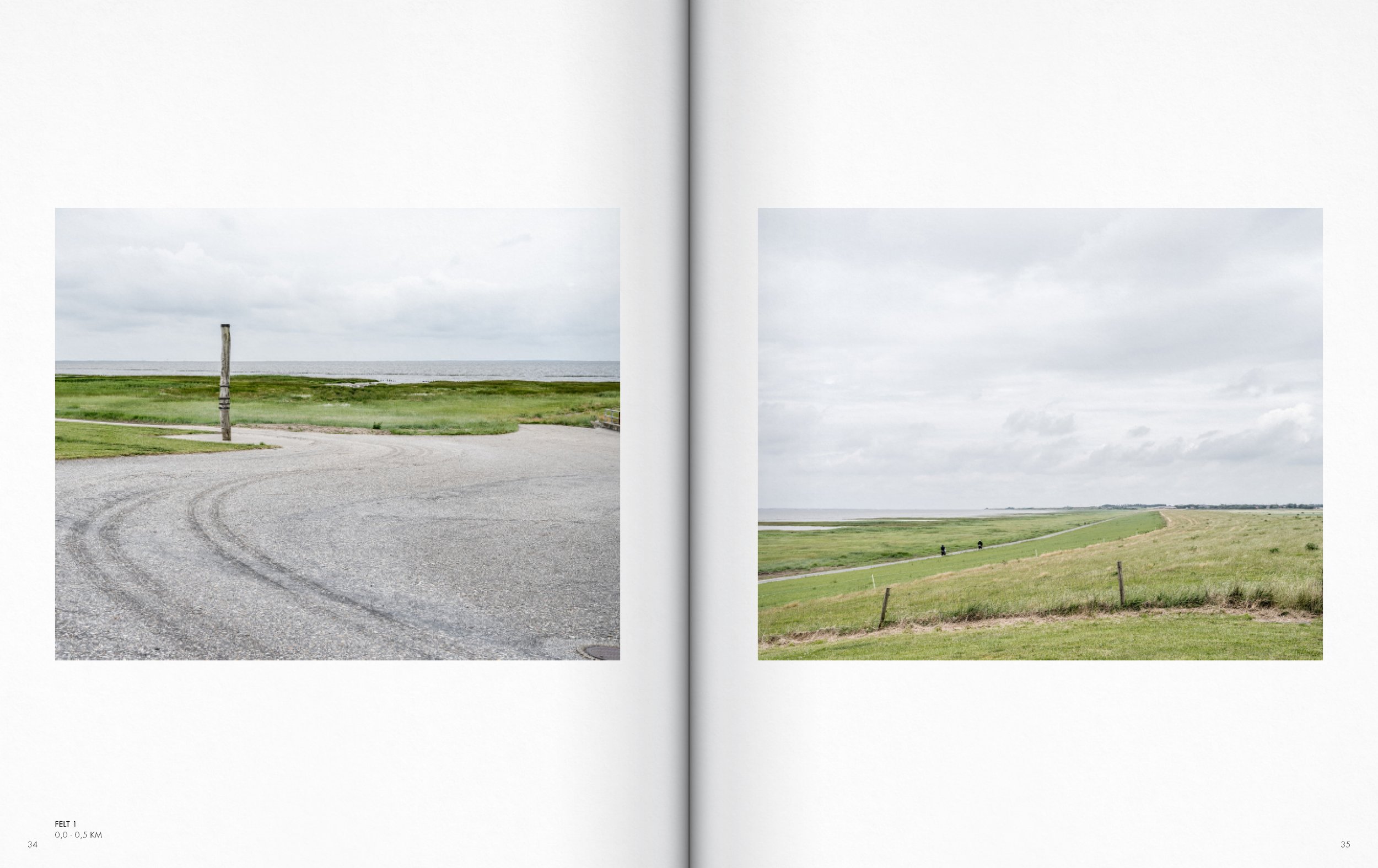
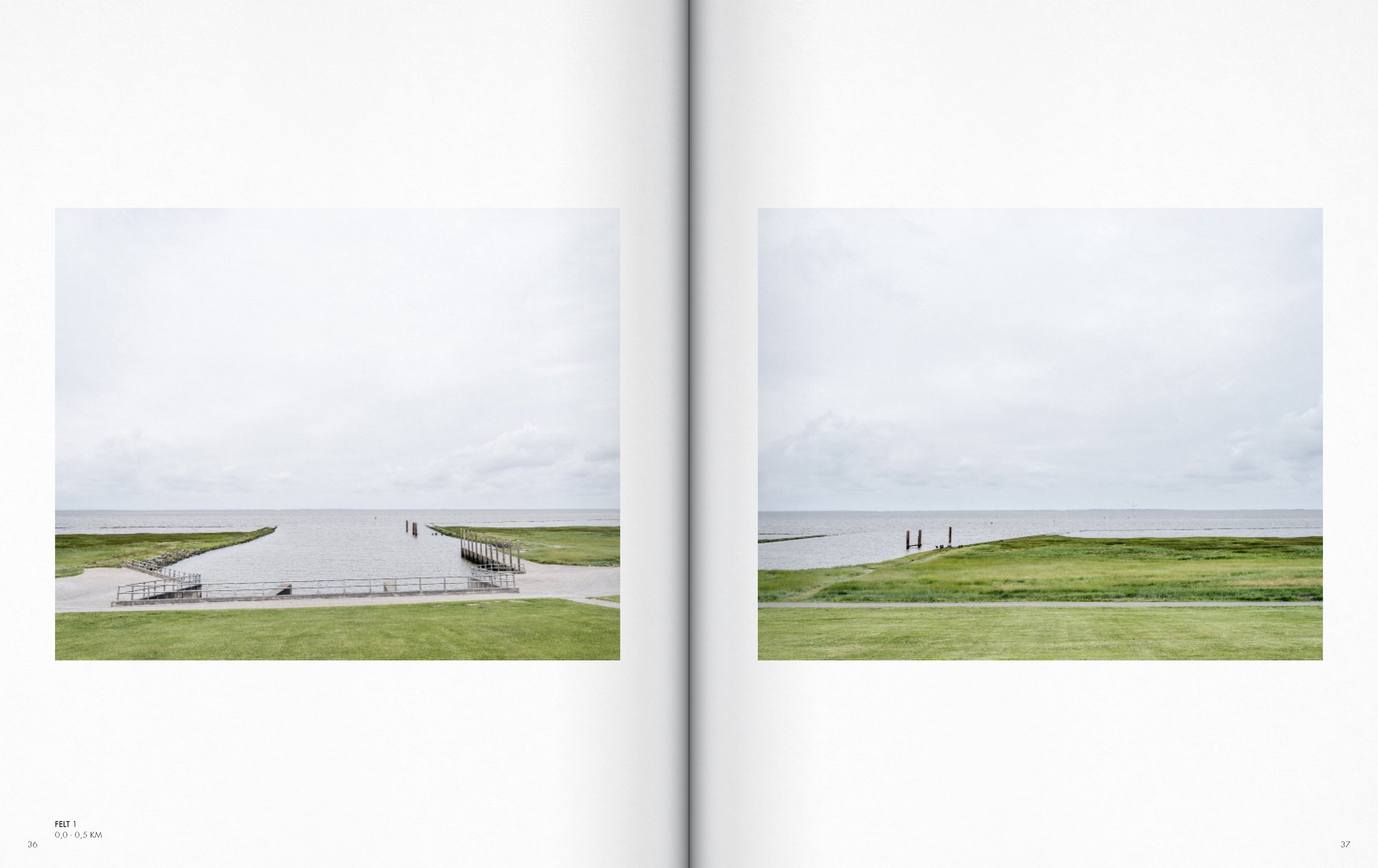
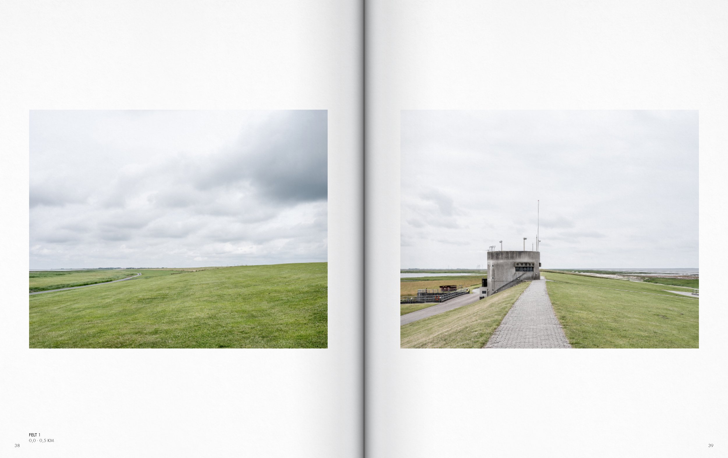
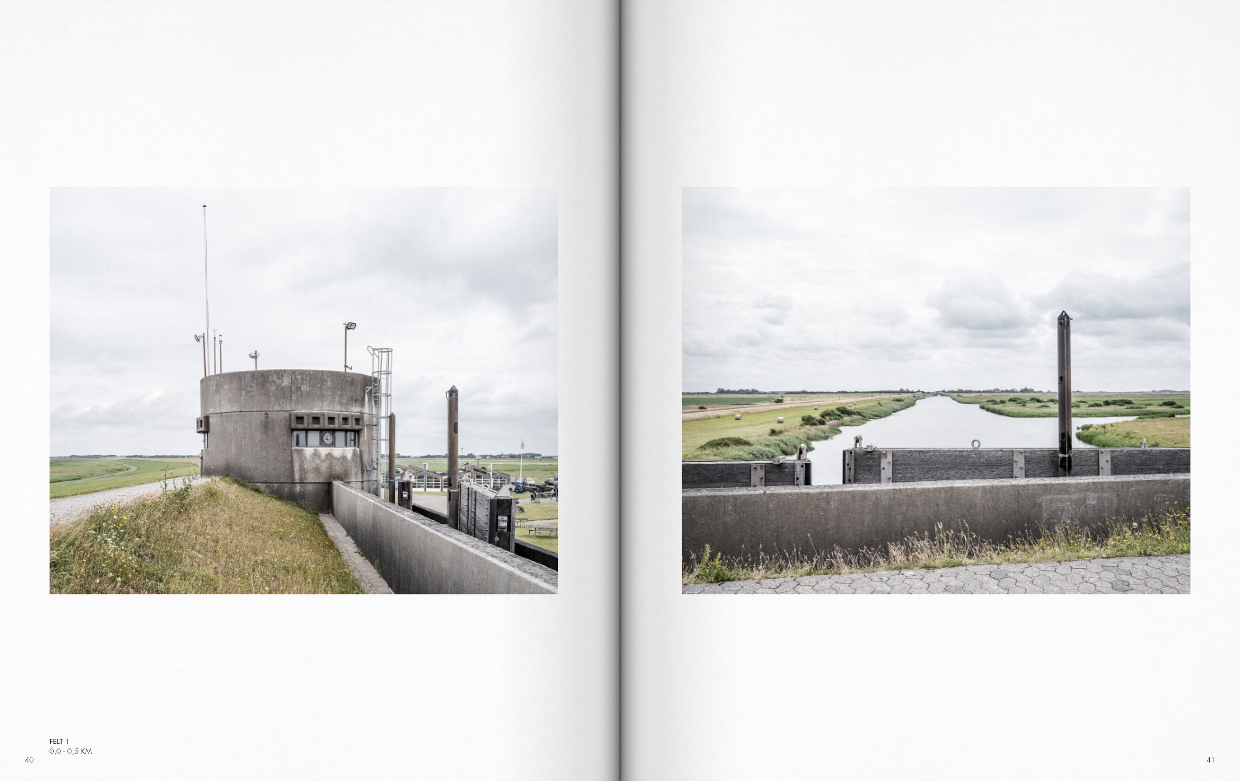
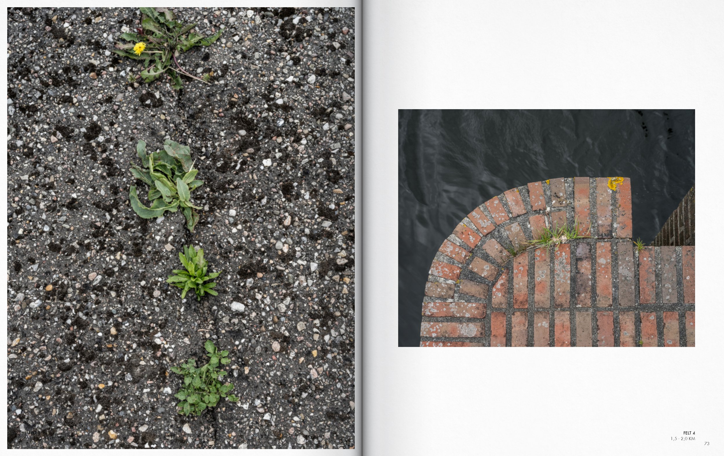
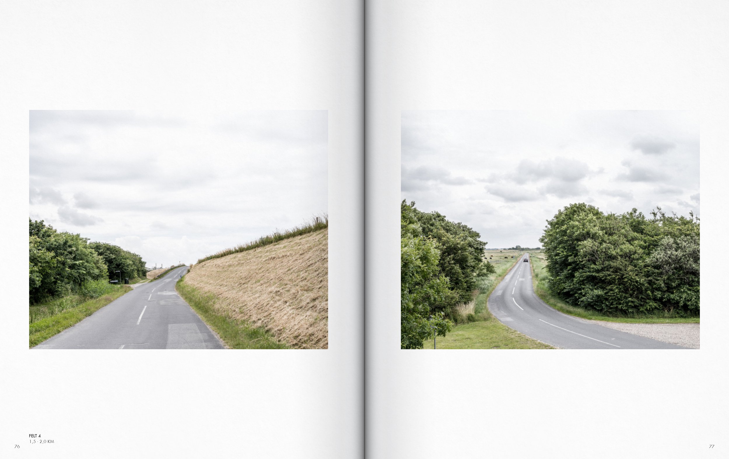
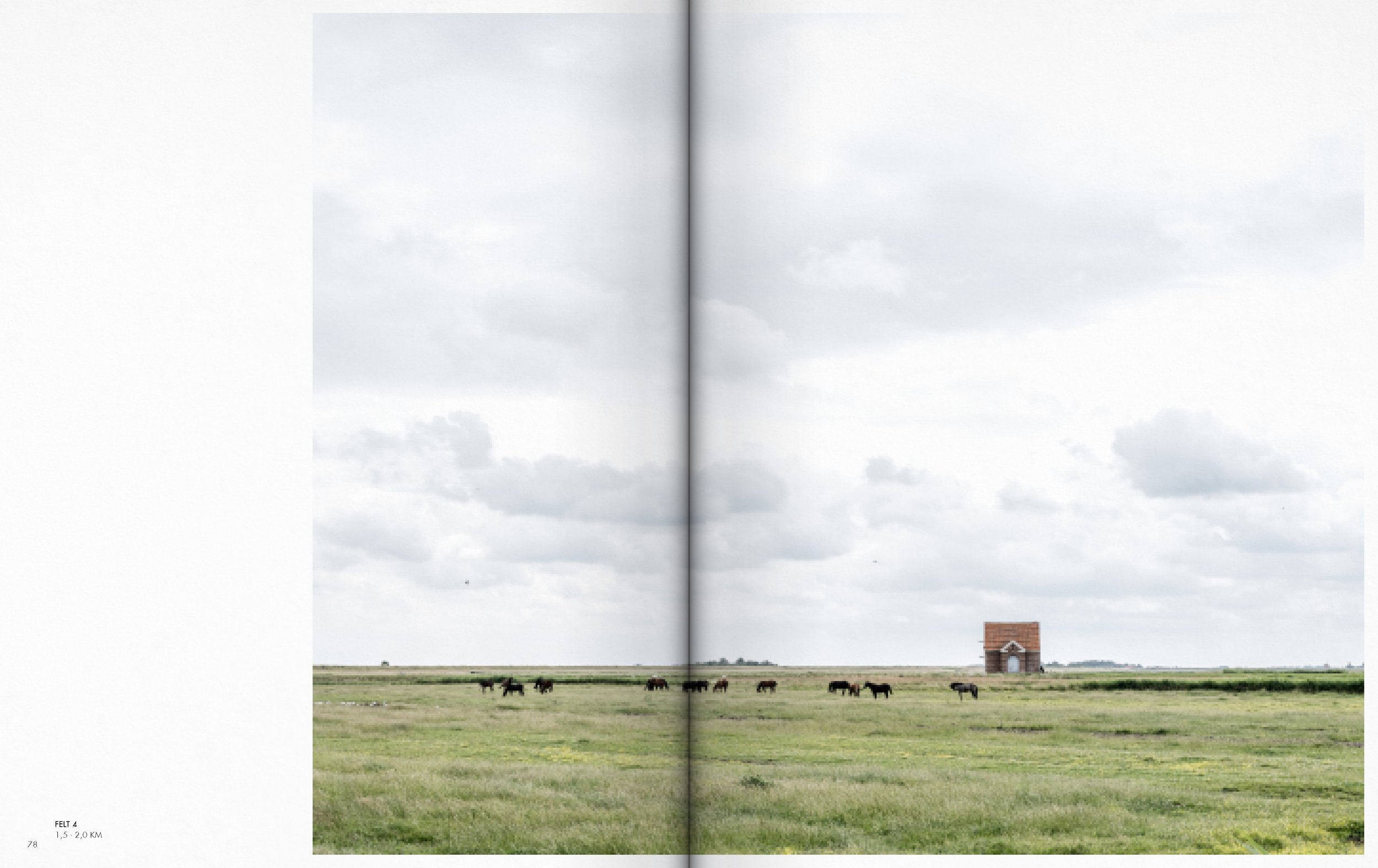
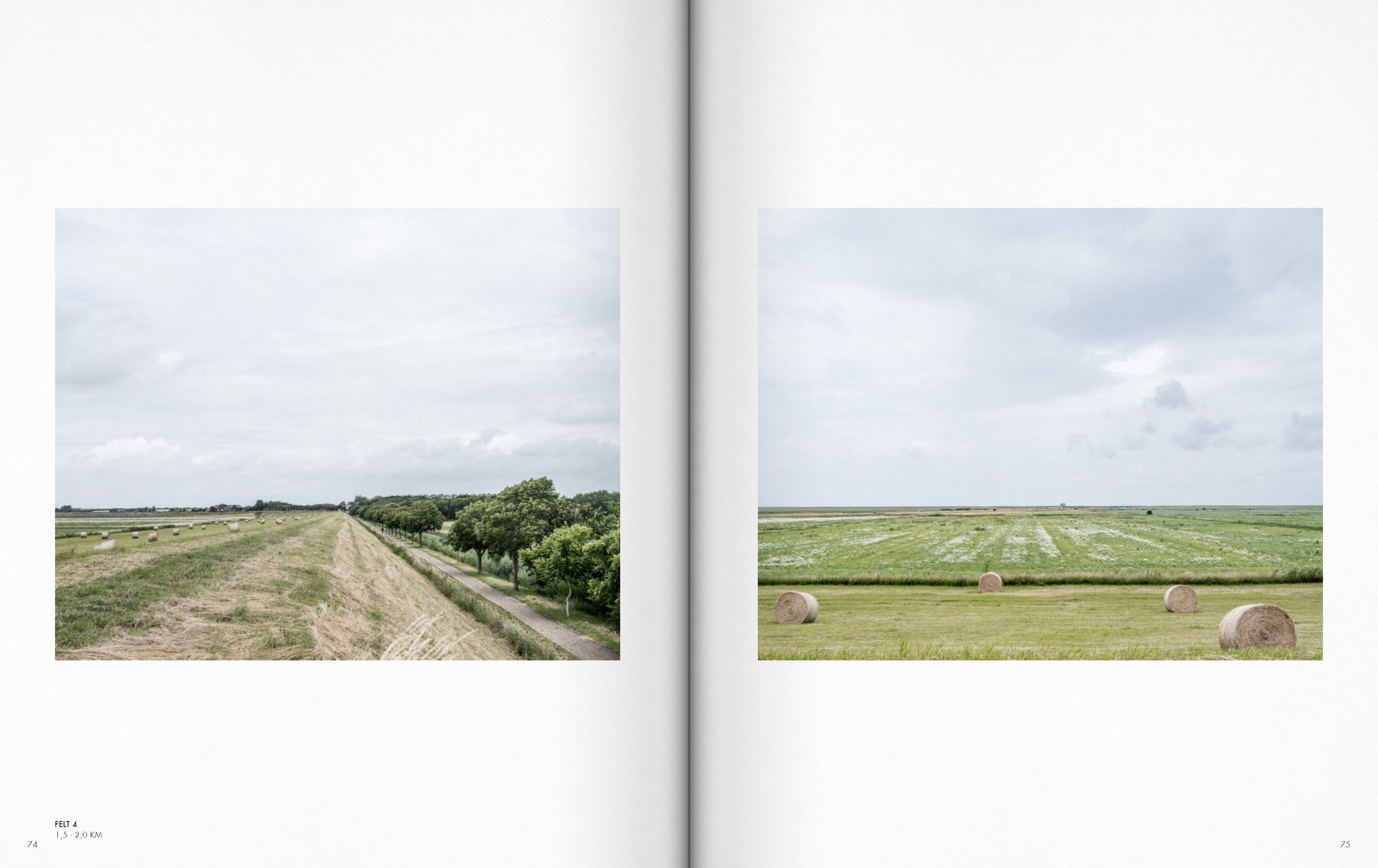
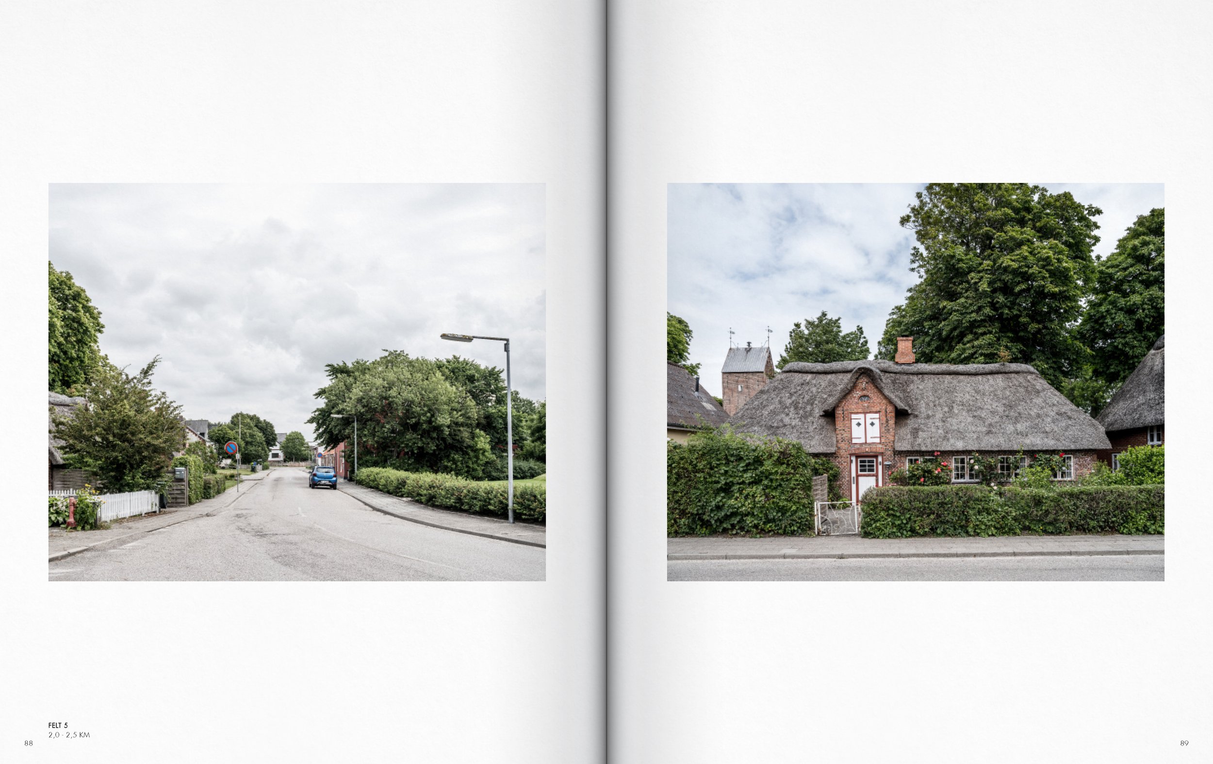
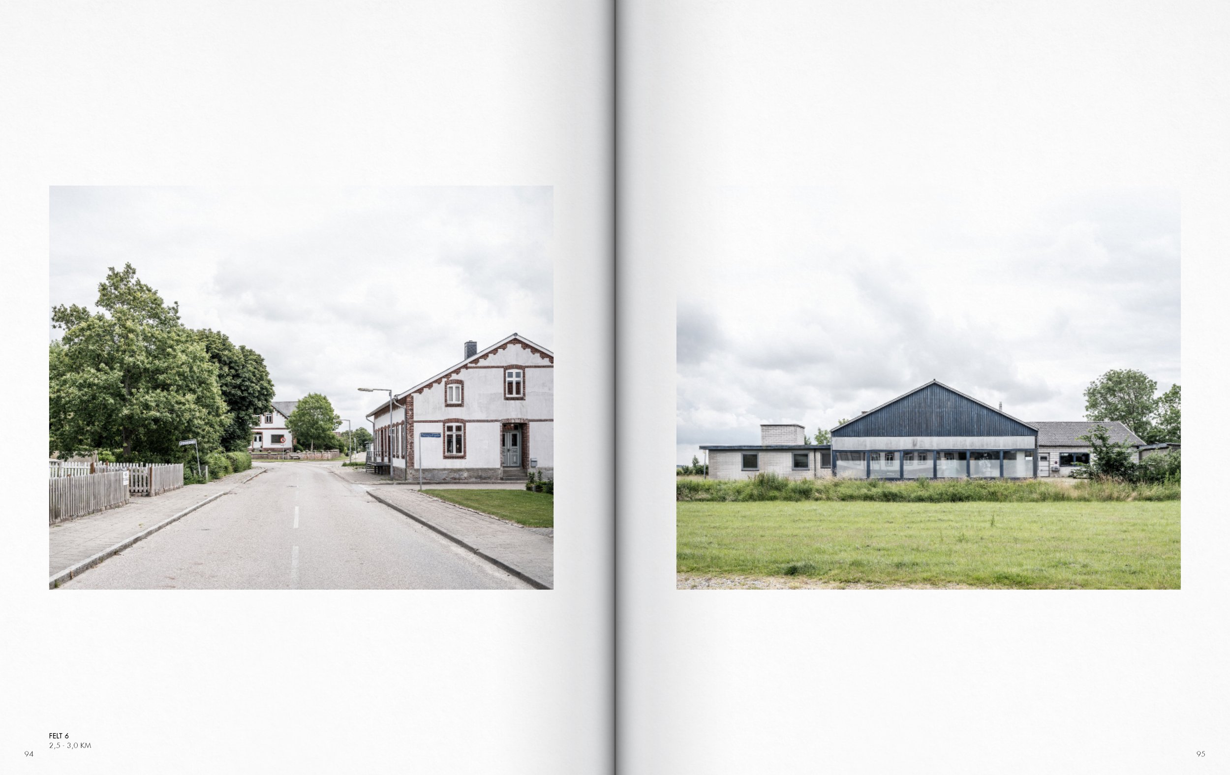
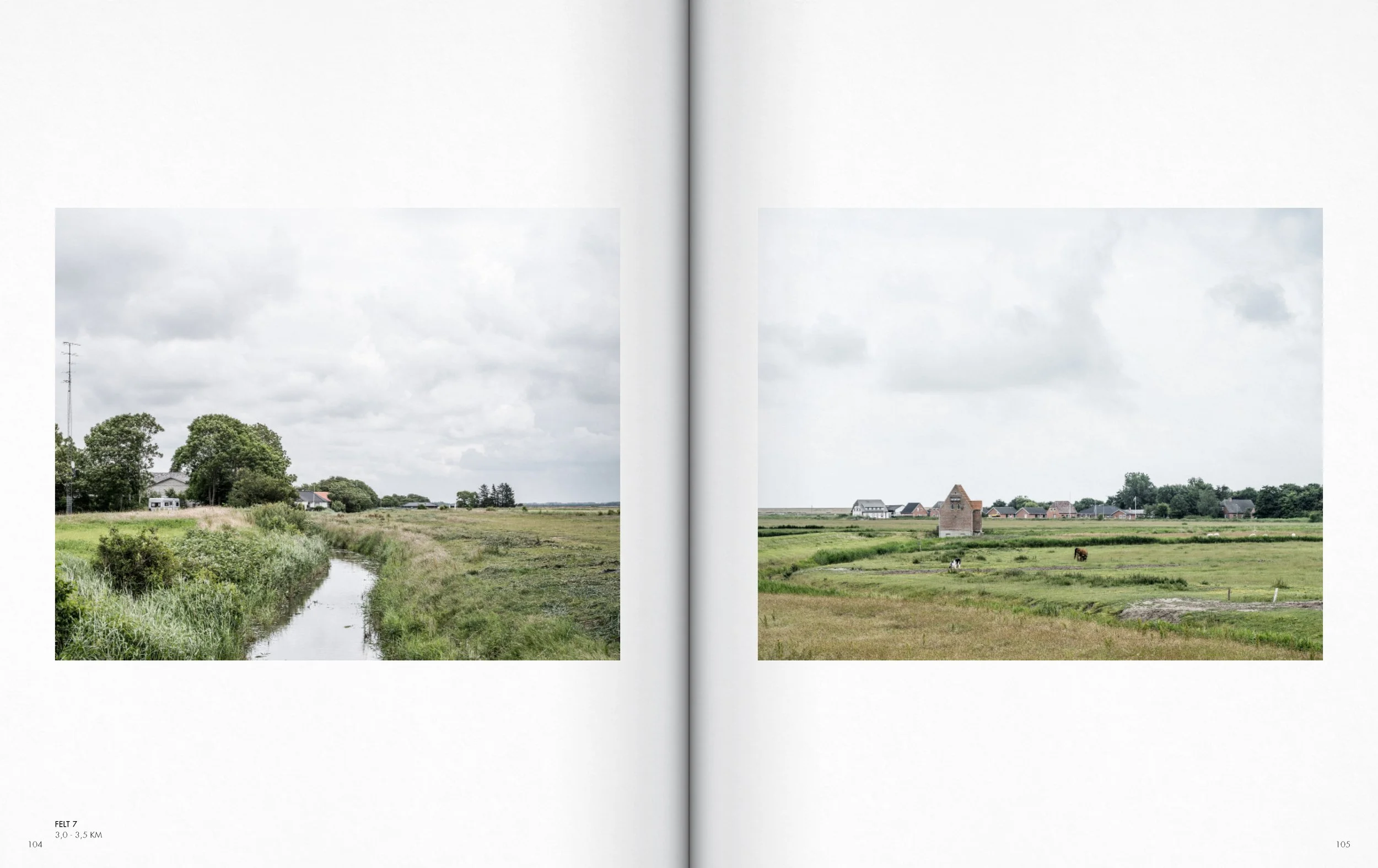
The framework of this book is the extensive database of photographic mappings developed between 2016 and 2021. It is a database created on the basis of 29 serial photographic sections, distributed along the length of the Danish West Coast.
Rather than focusing exclusively on the coastal foreland and the already richly represented encounter between the sea and the coastal foreland's landscapes, these photographic sections transect the coastal territory - from the coastal foreland into the hinterland and their urban structures. A hinterland that, in addition to its spatial affinities with the coastline, is also largely defined by the structures, aesthetic characteristics, and atmospheres of modern society.

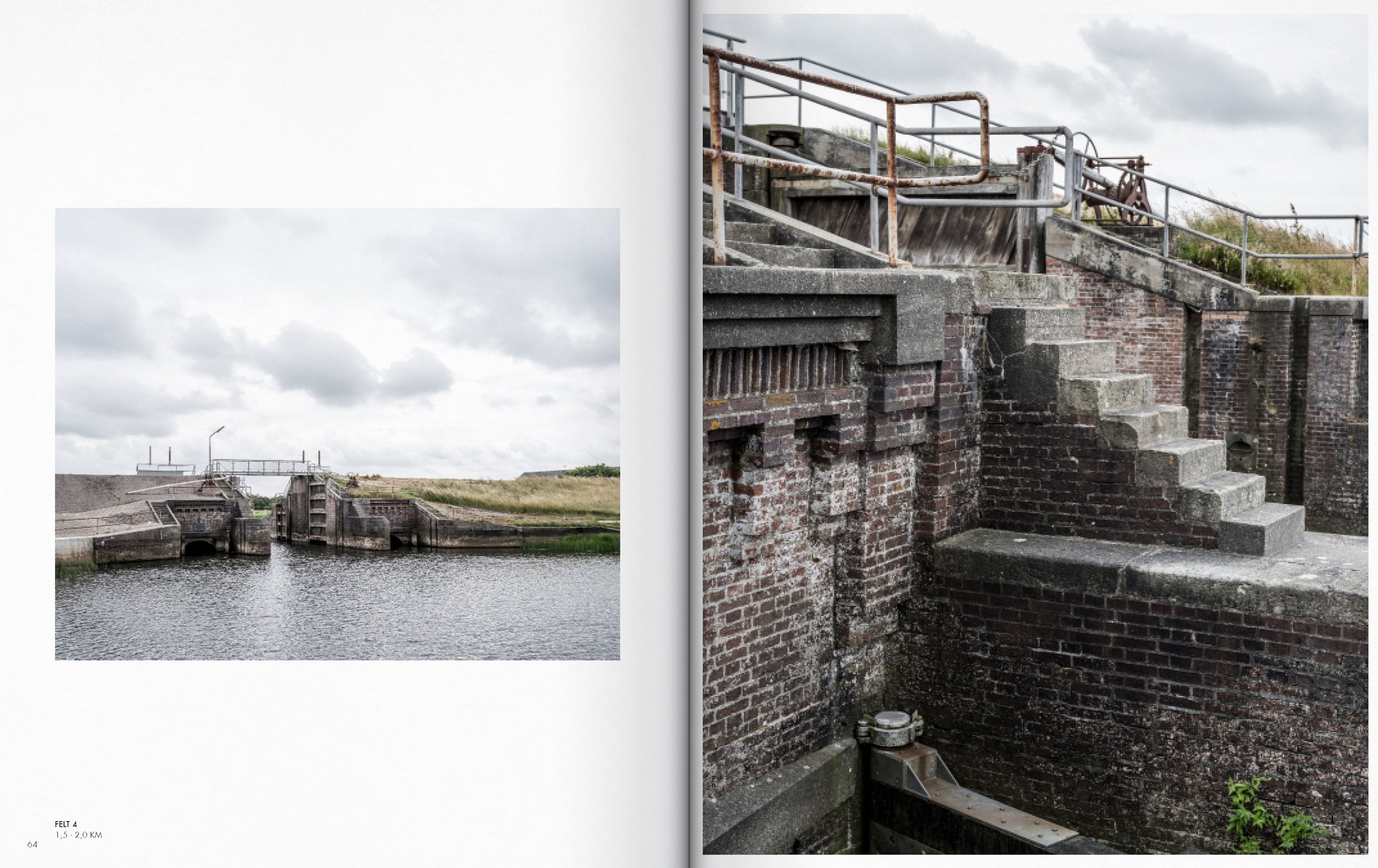
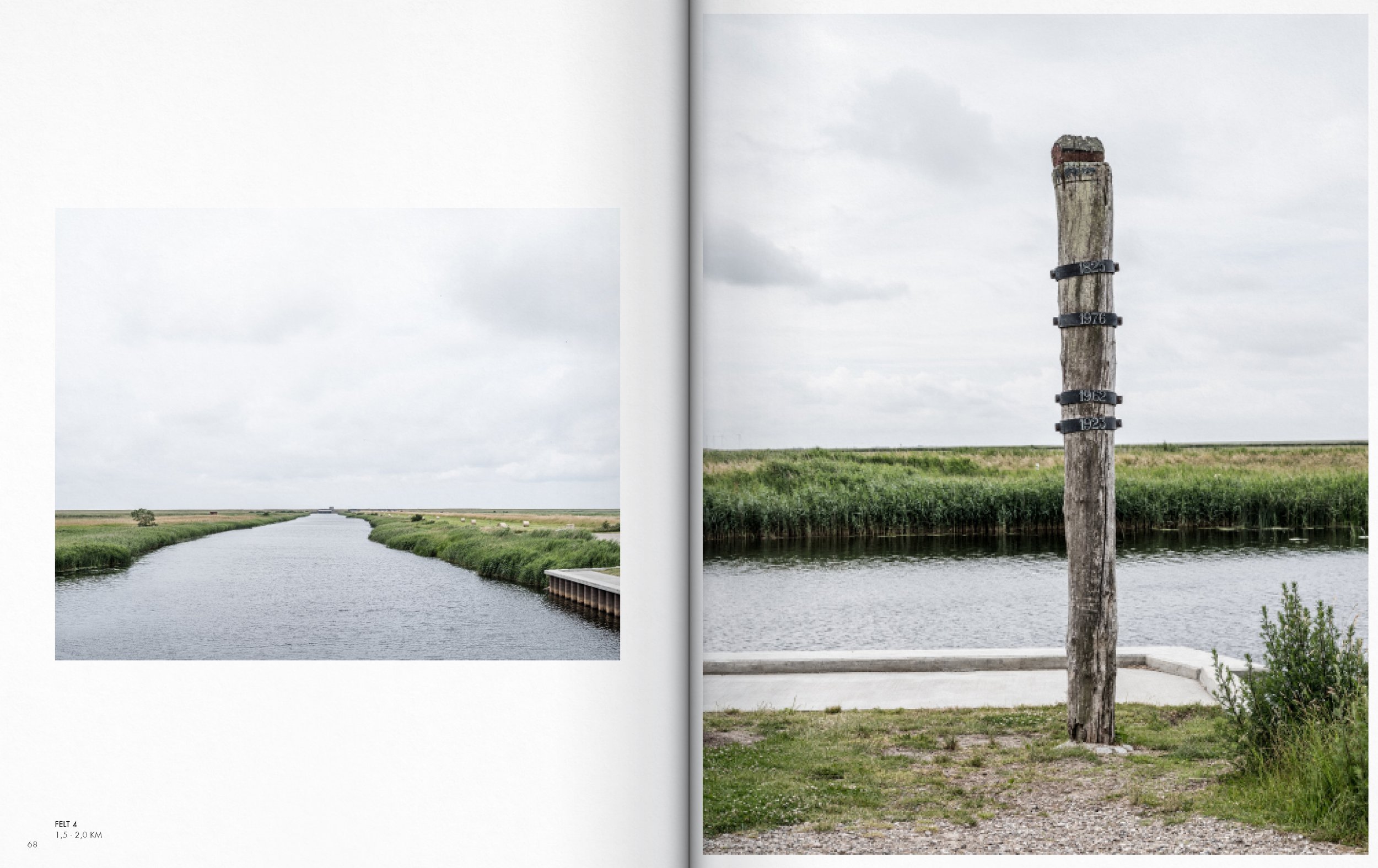
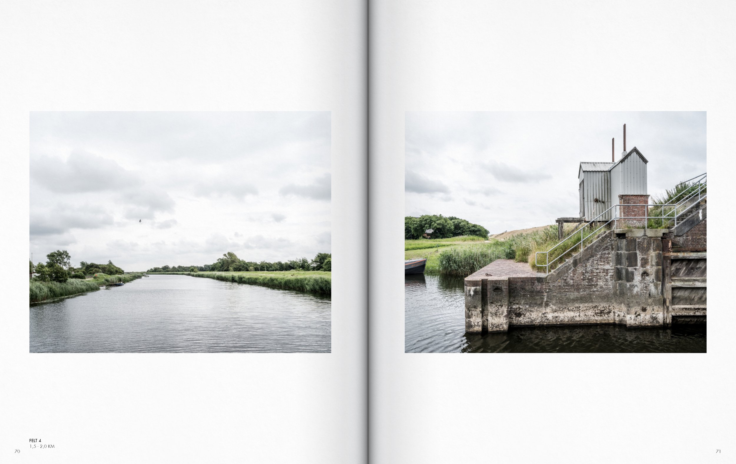
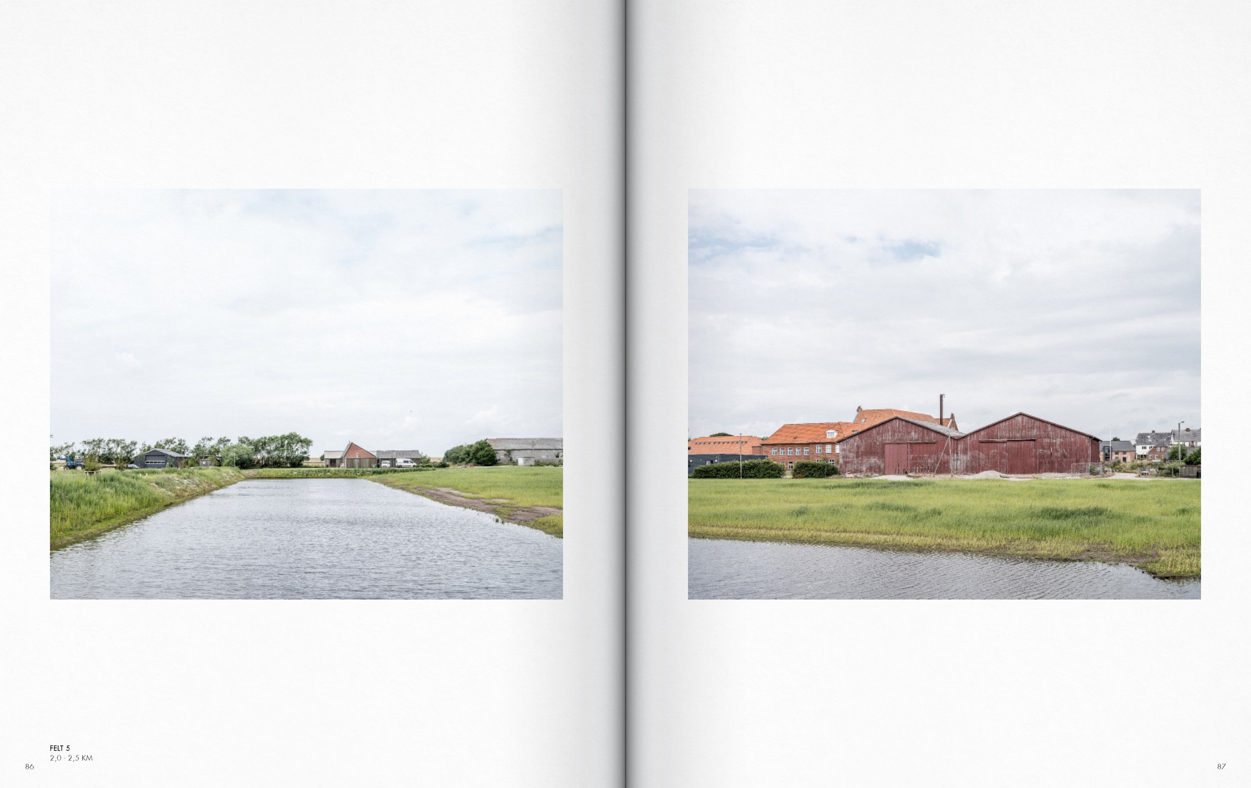
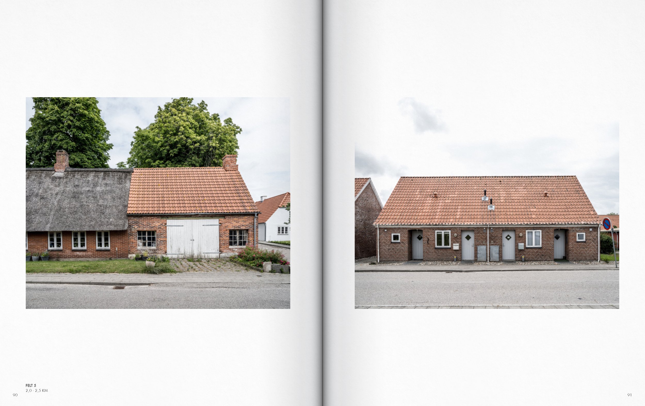
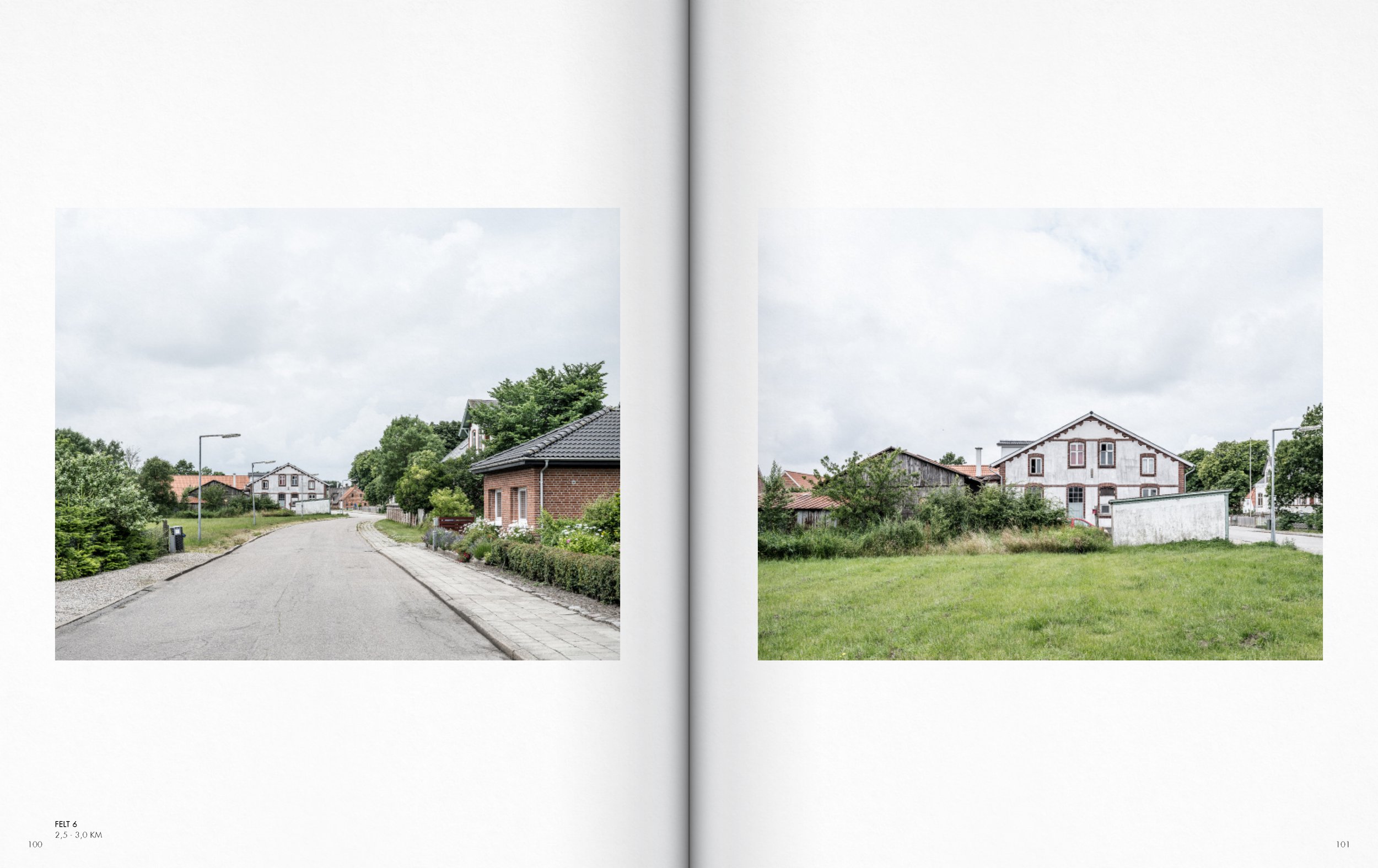
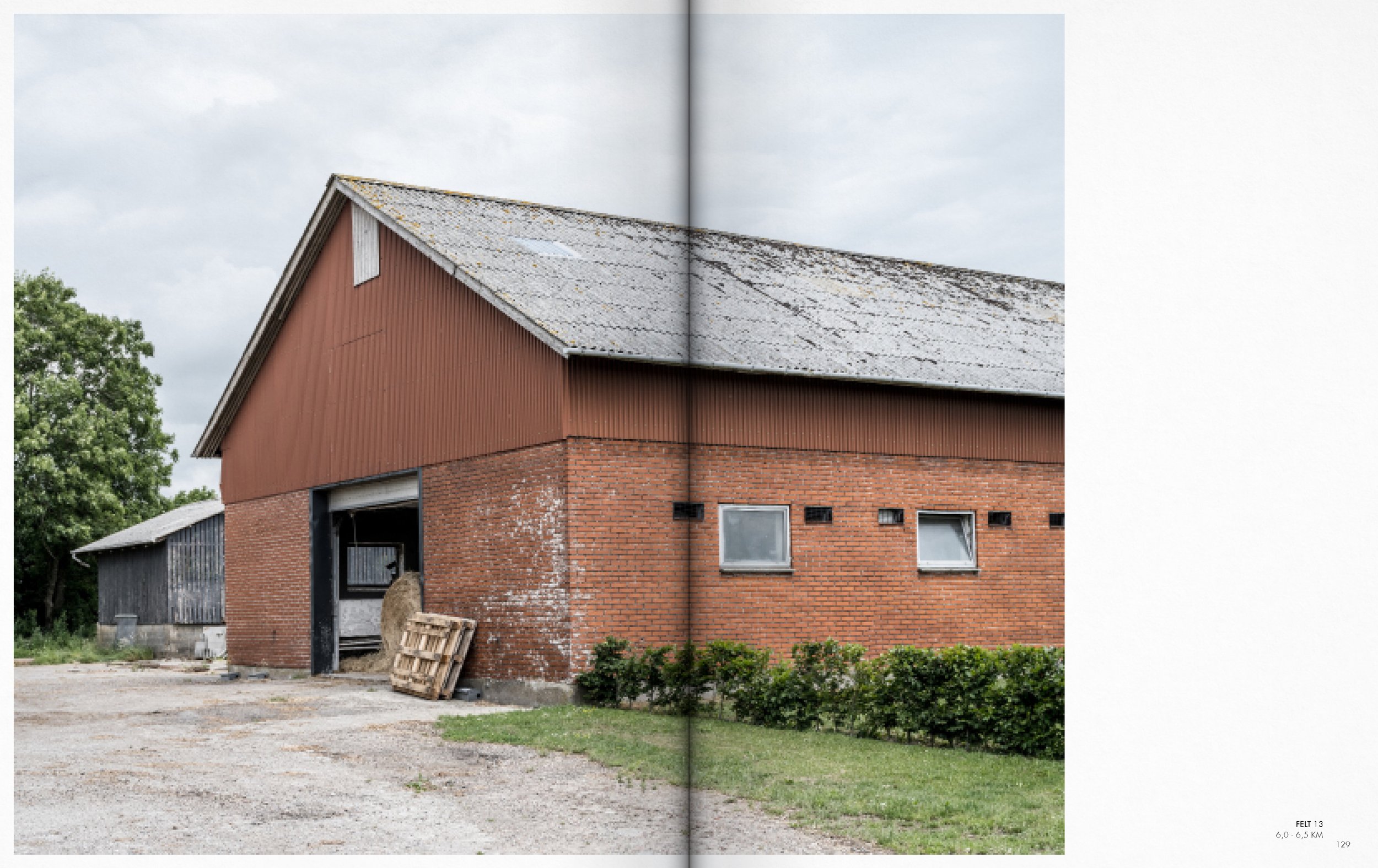
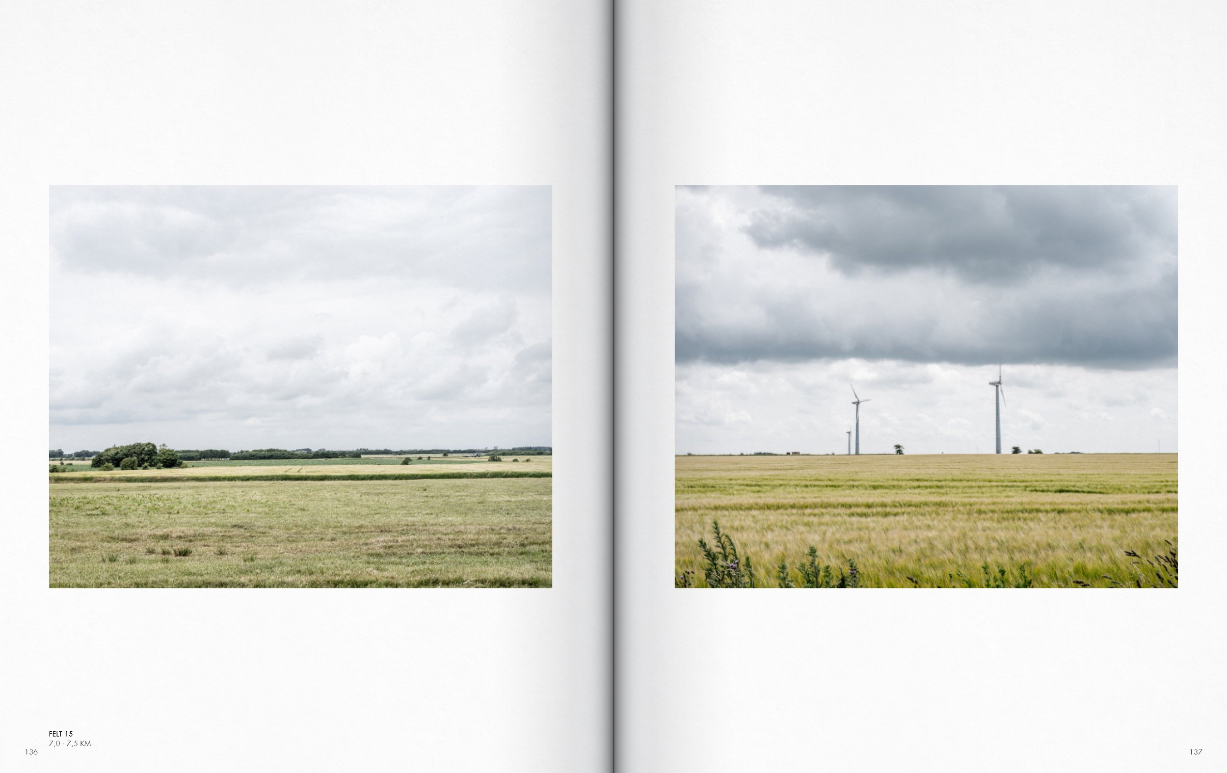
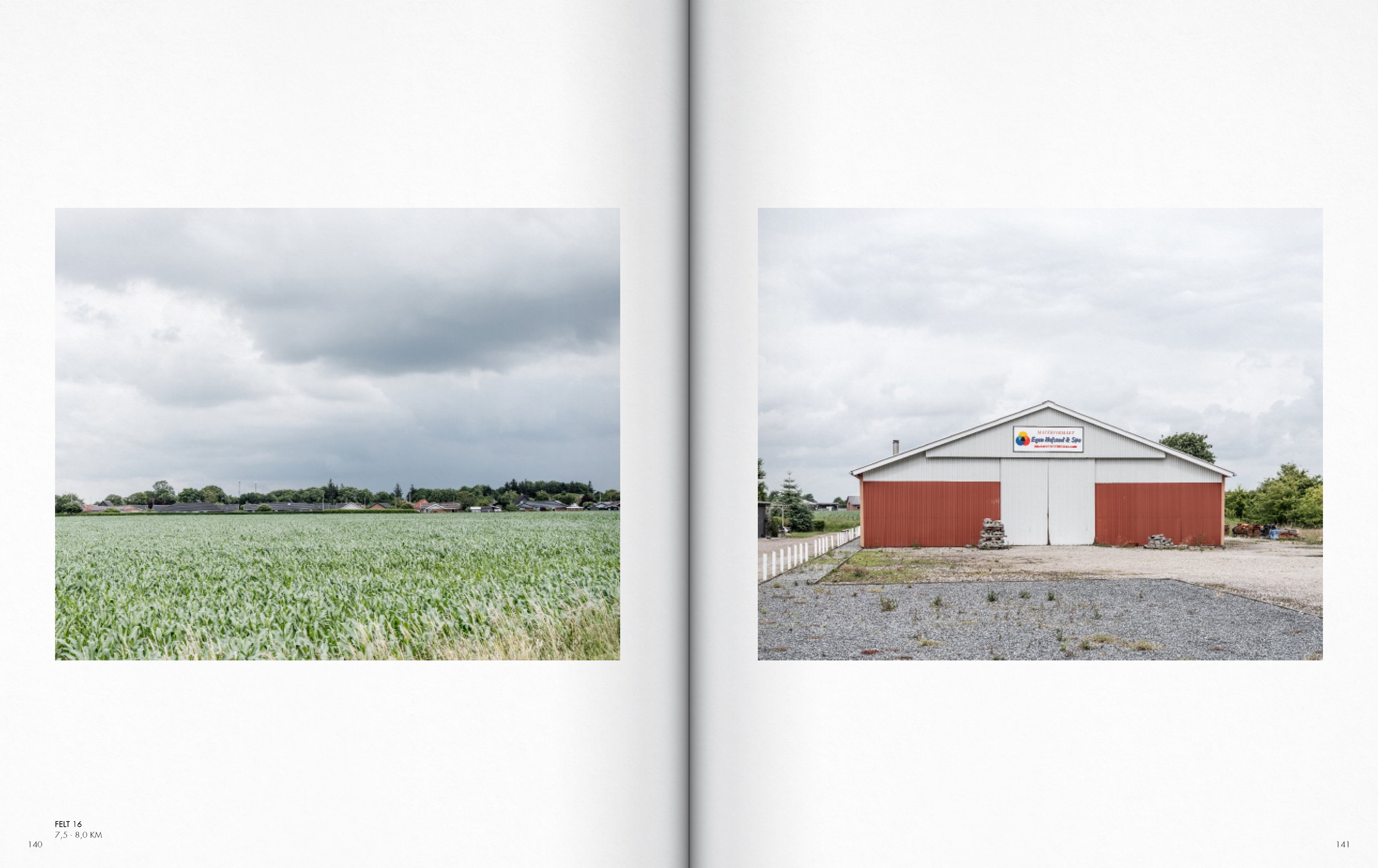
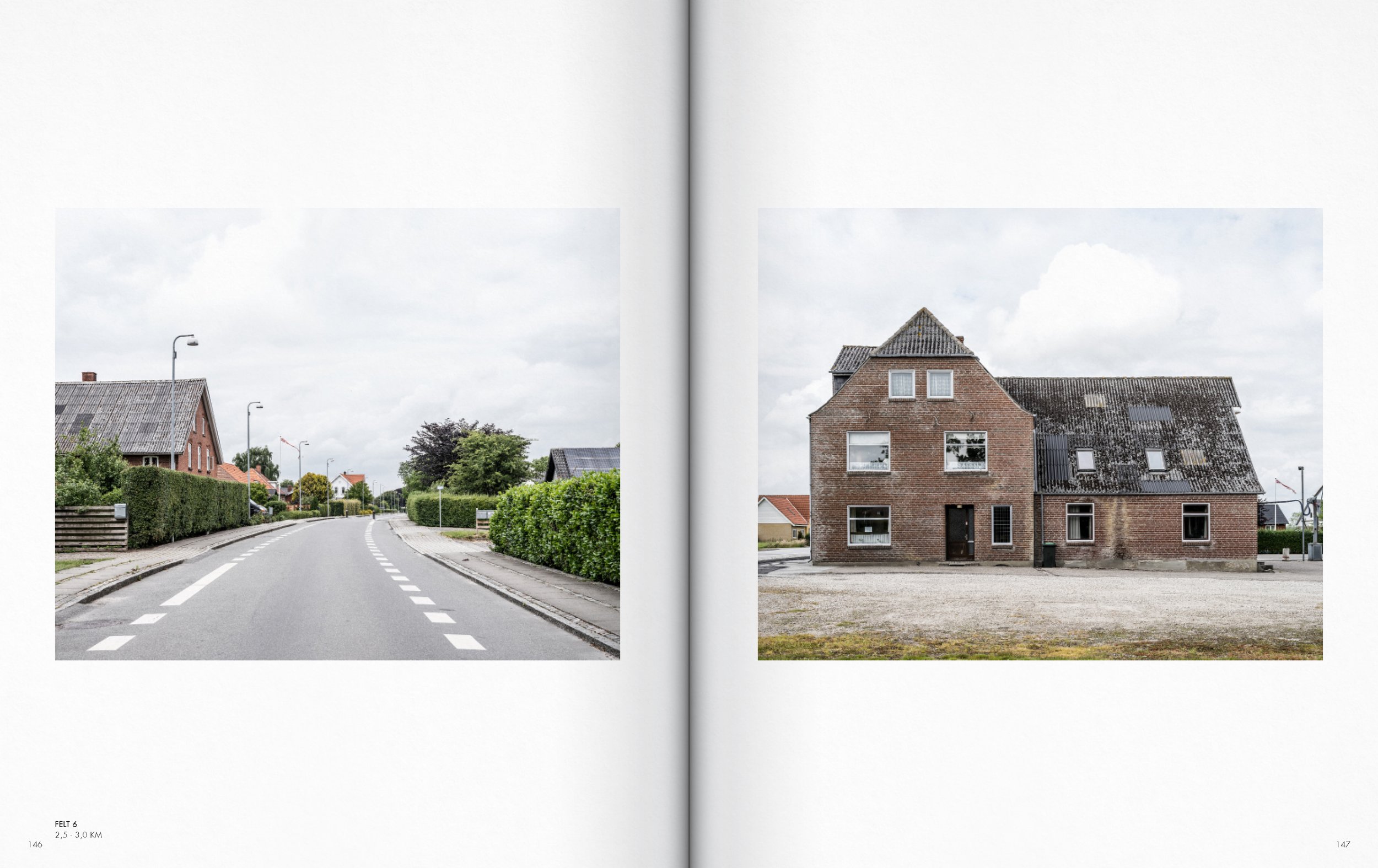
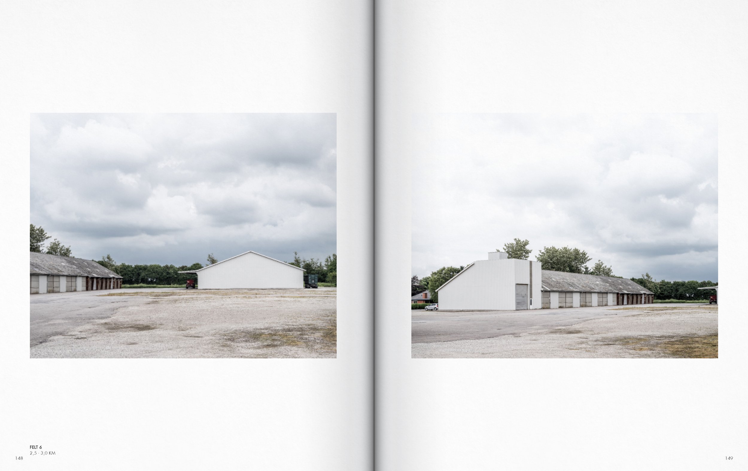
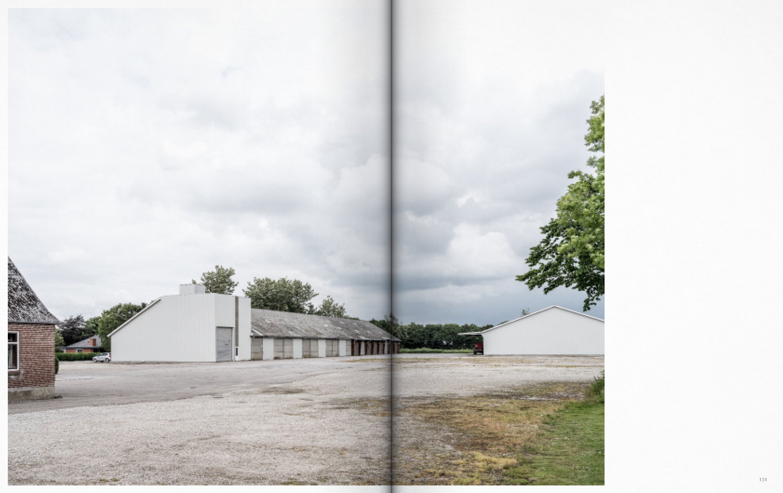
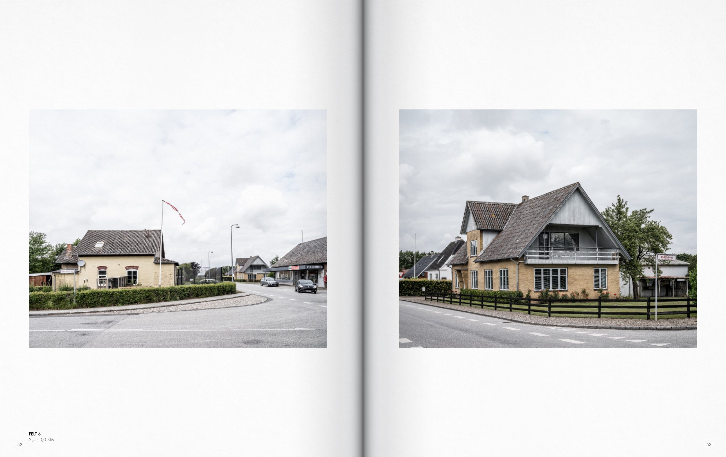
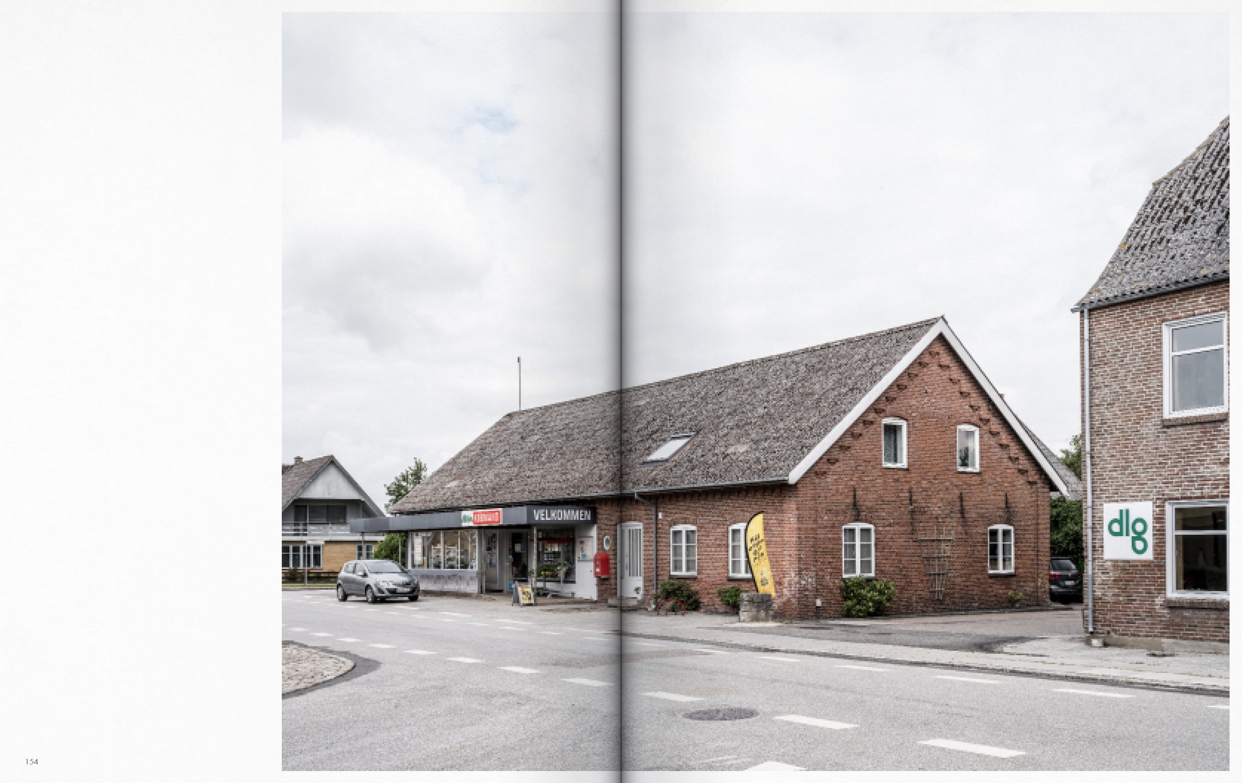
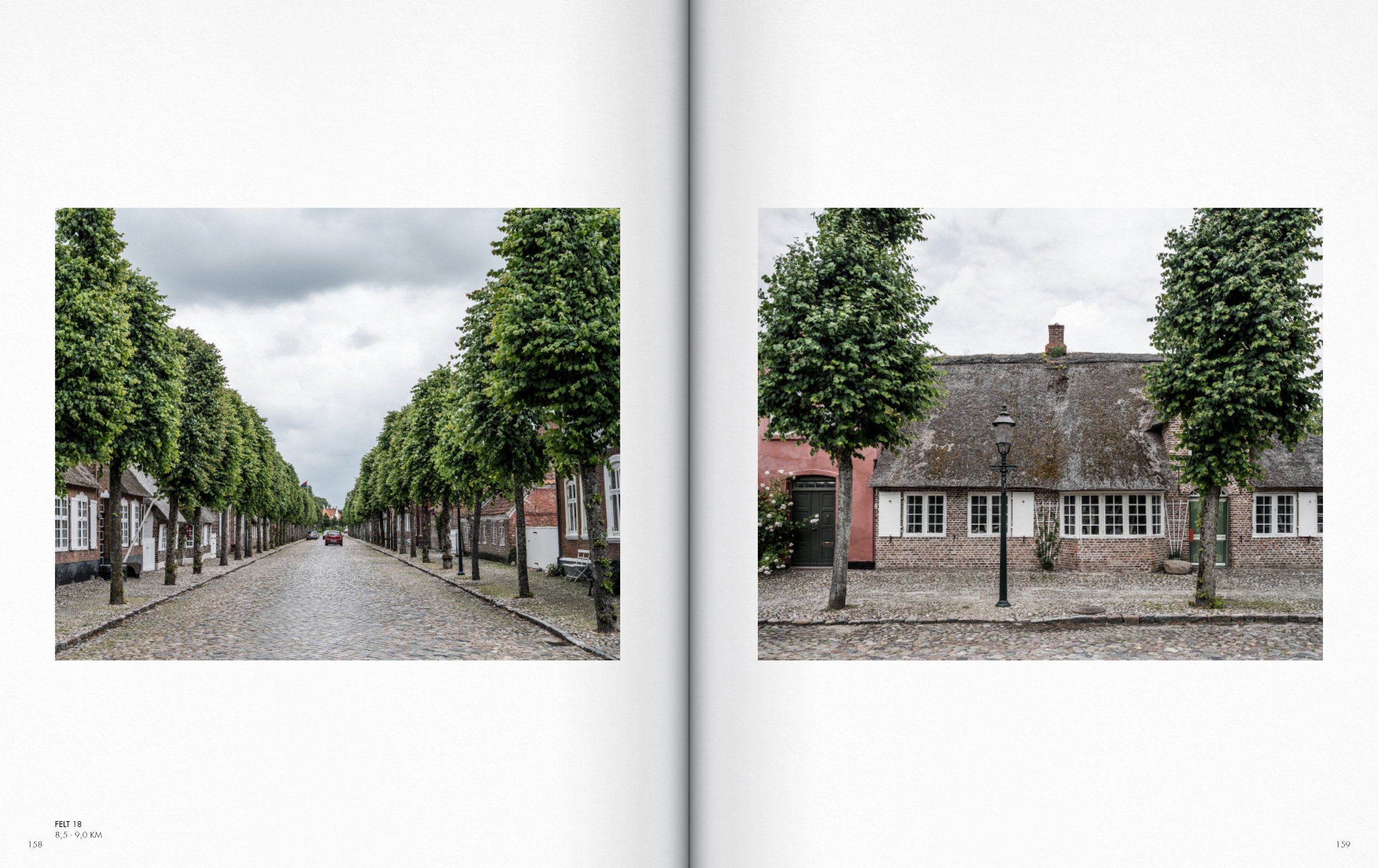
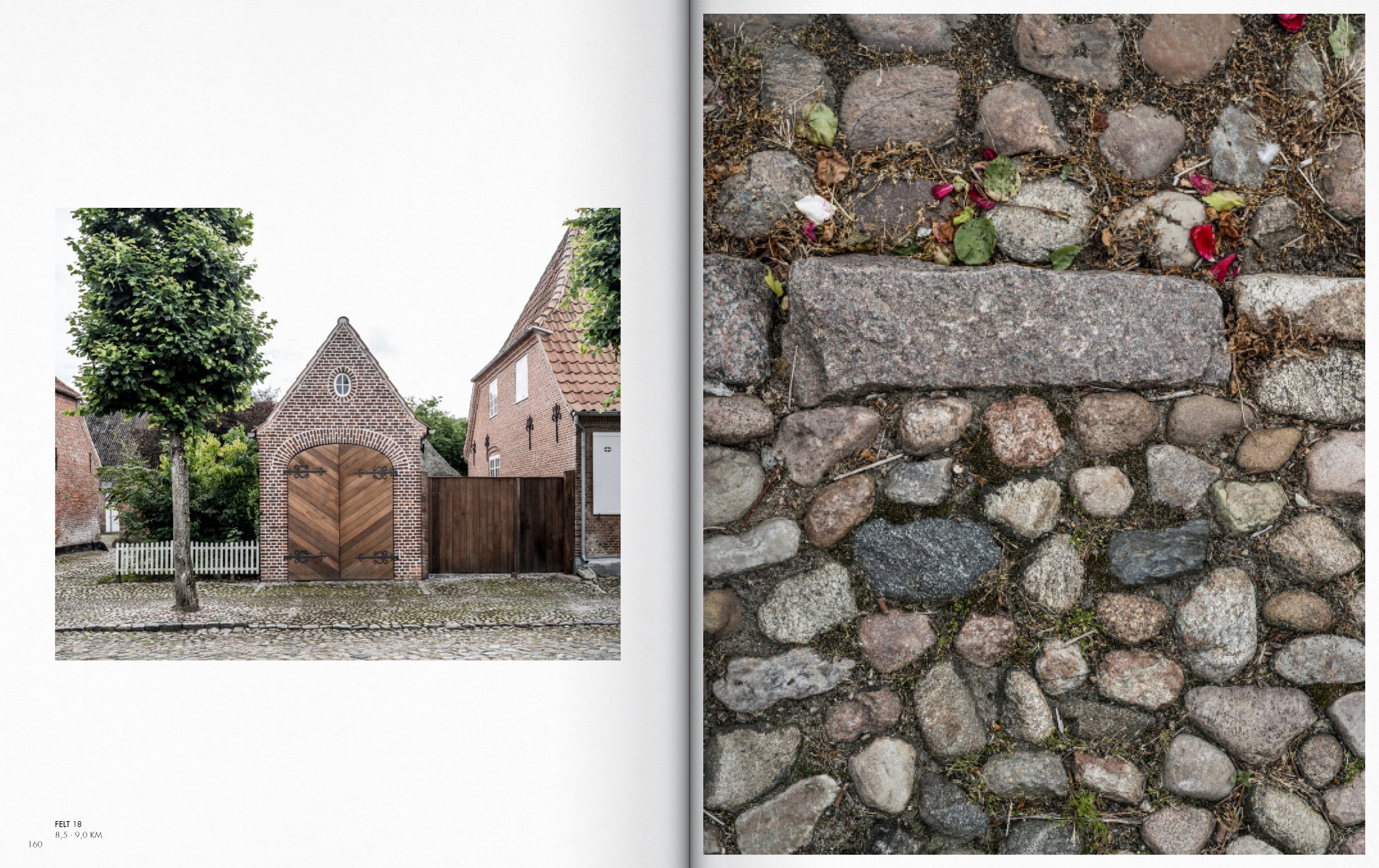
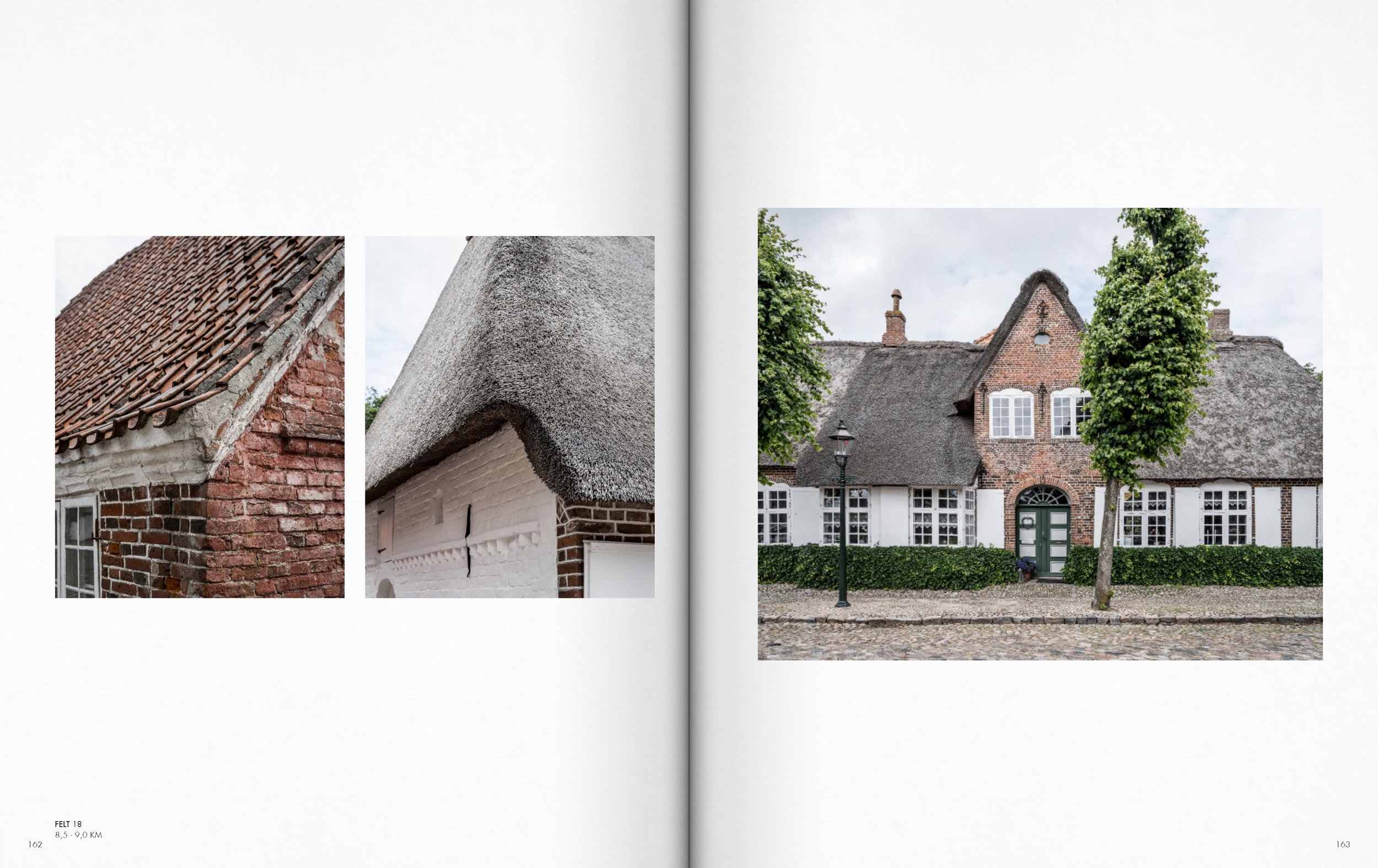
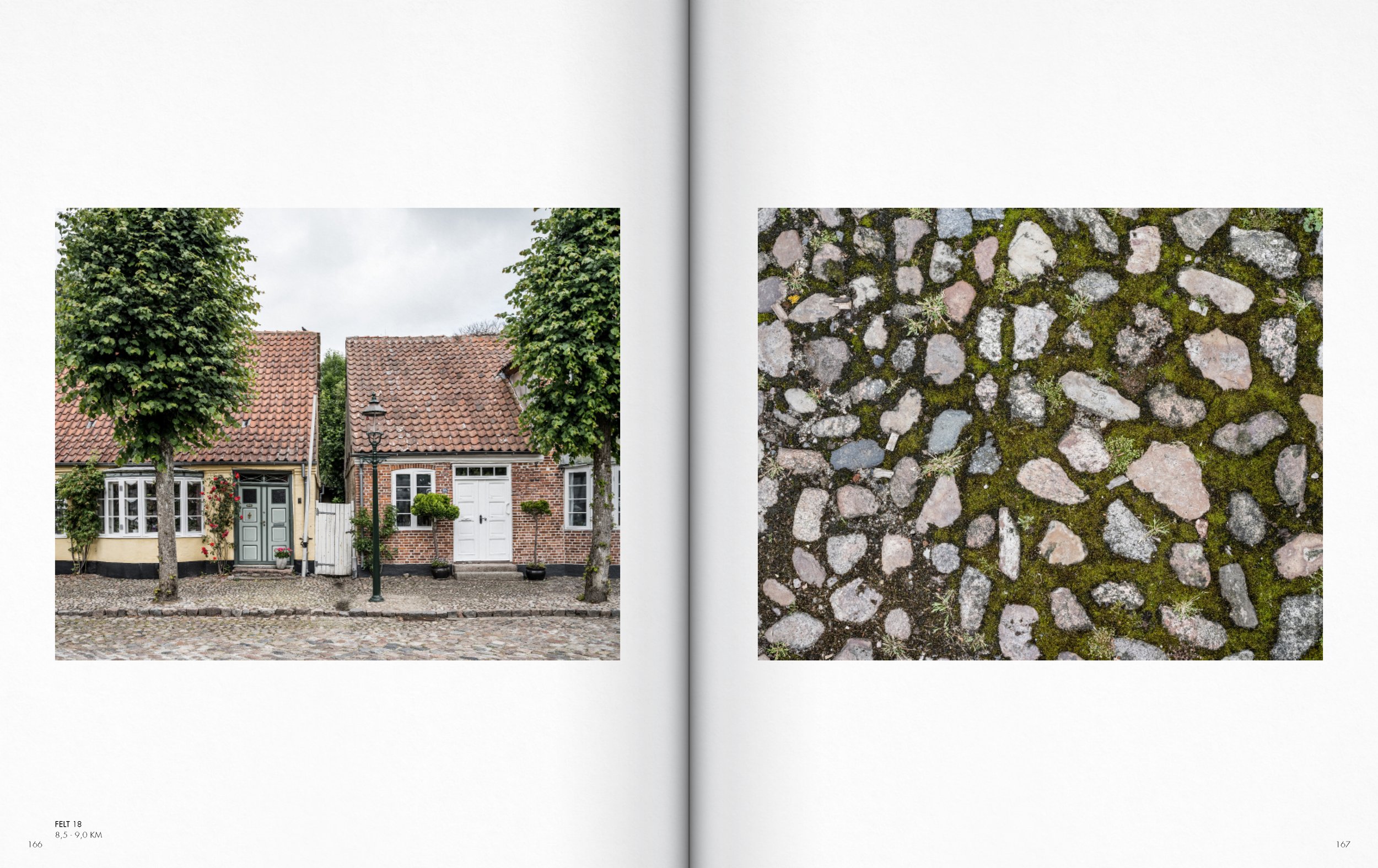
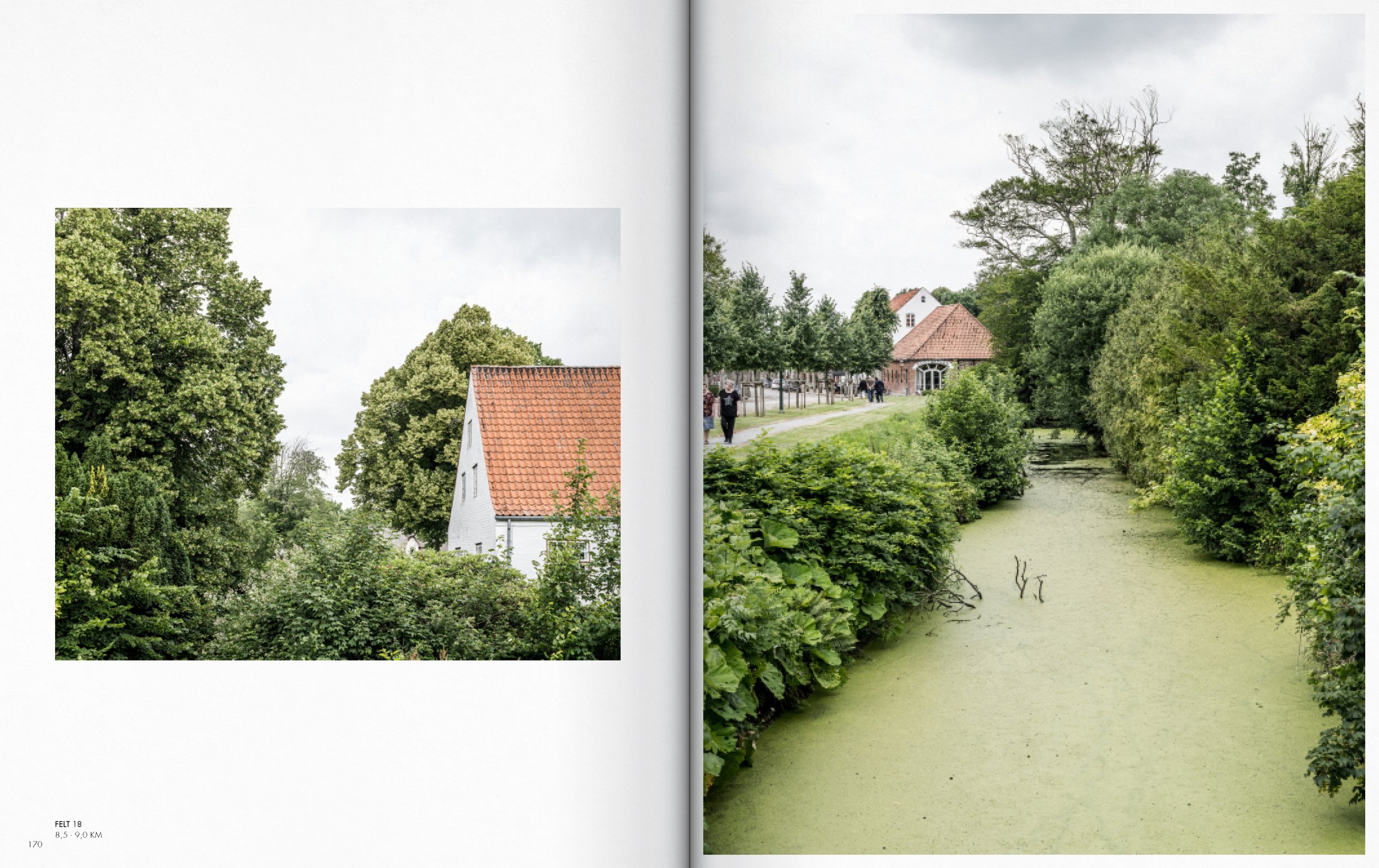
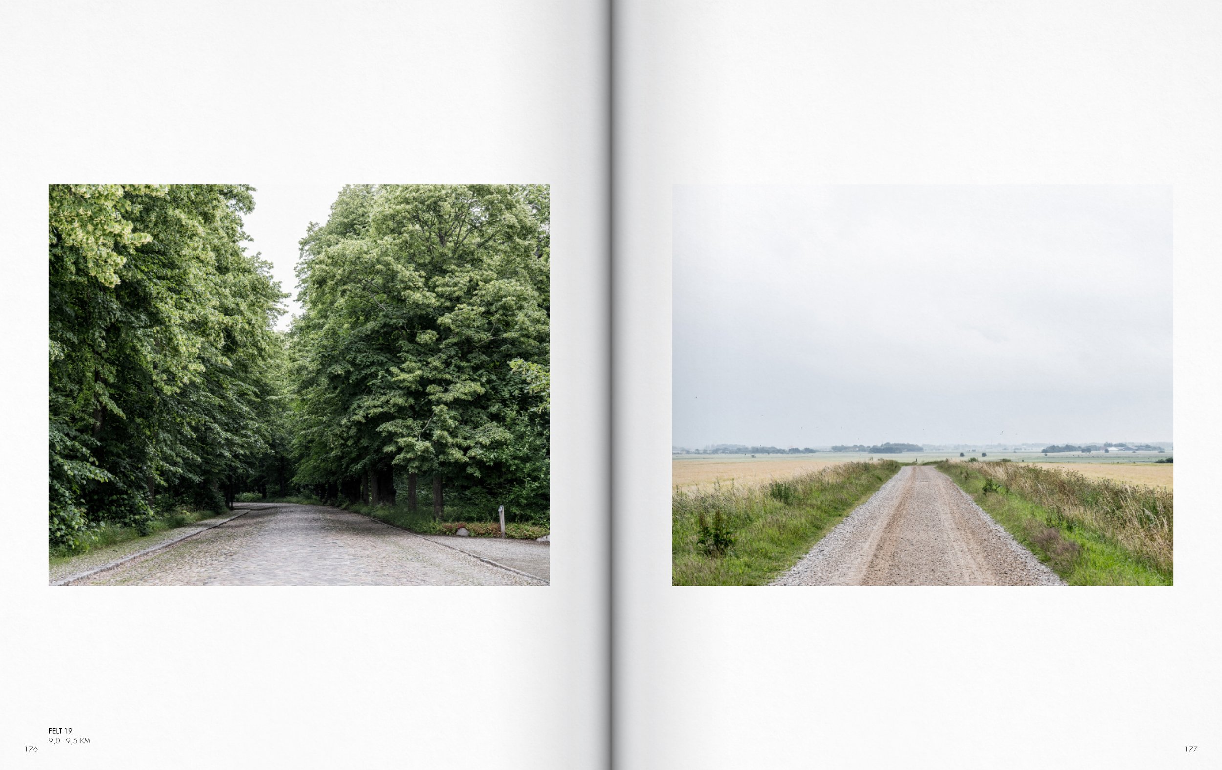
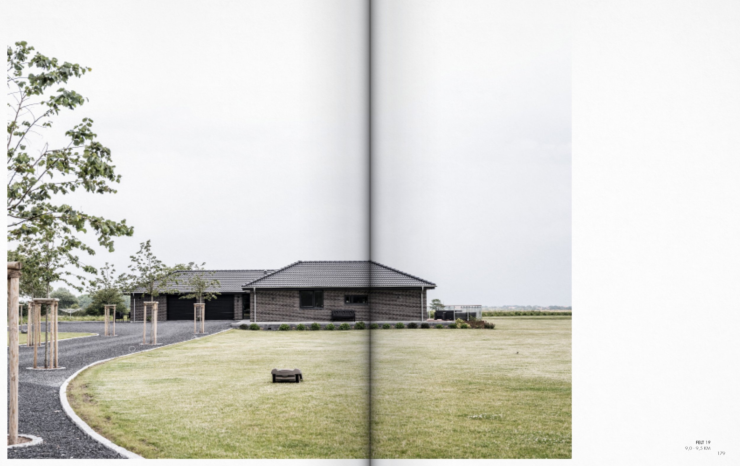
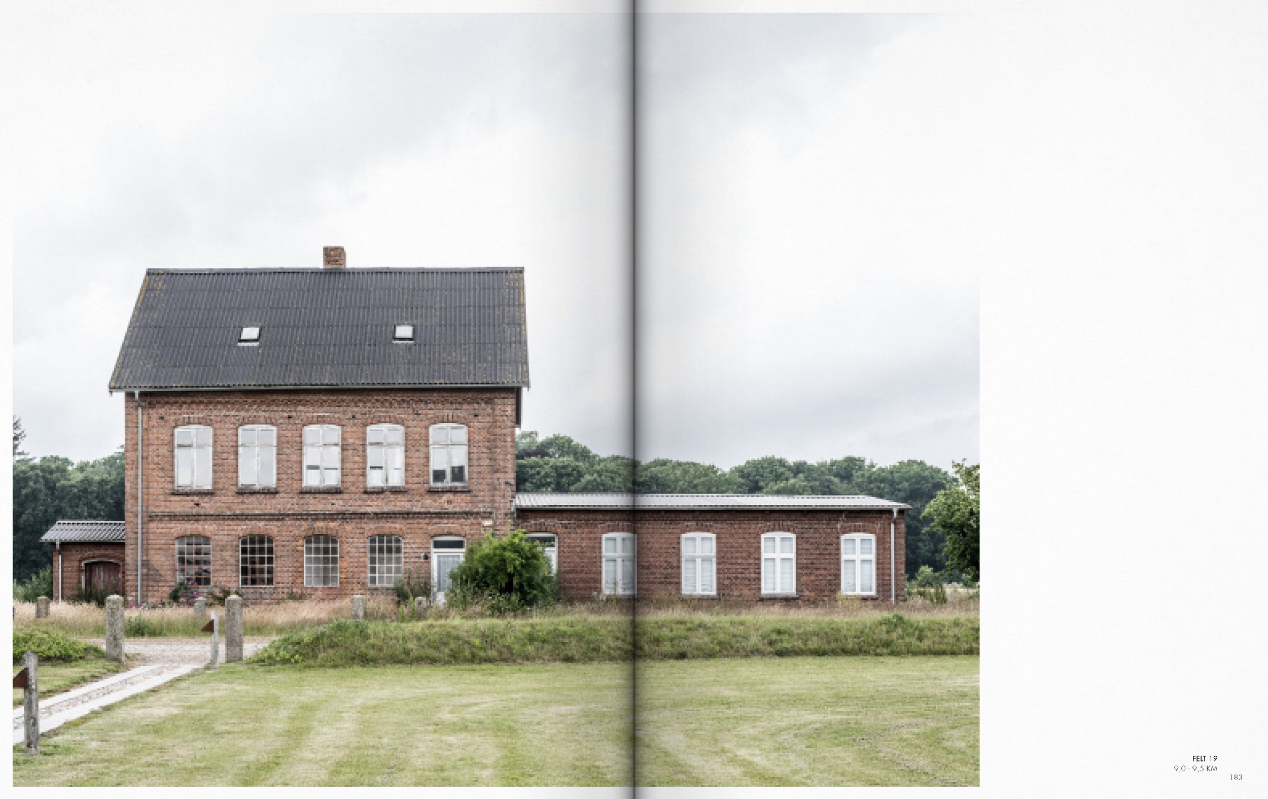
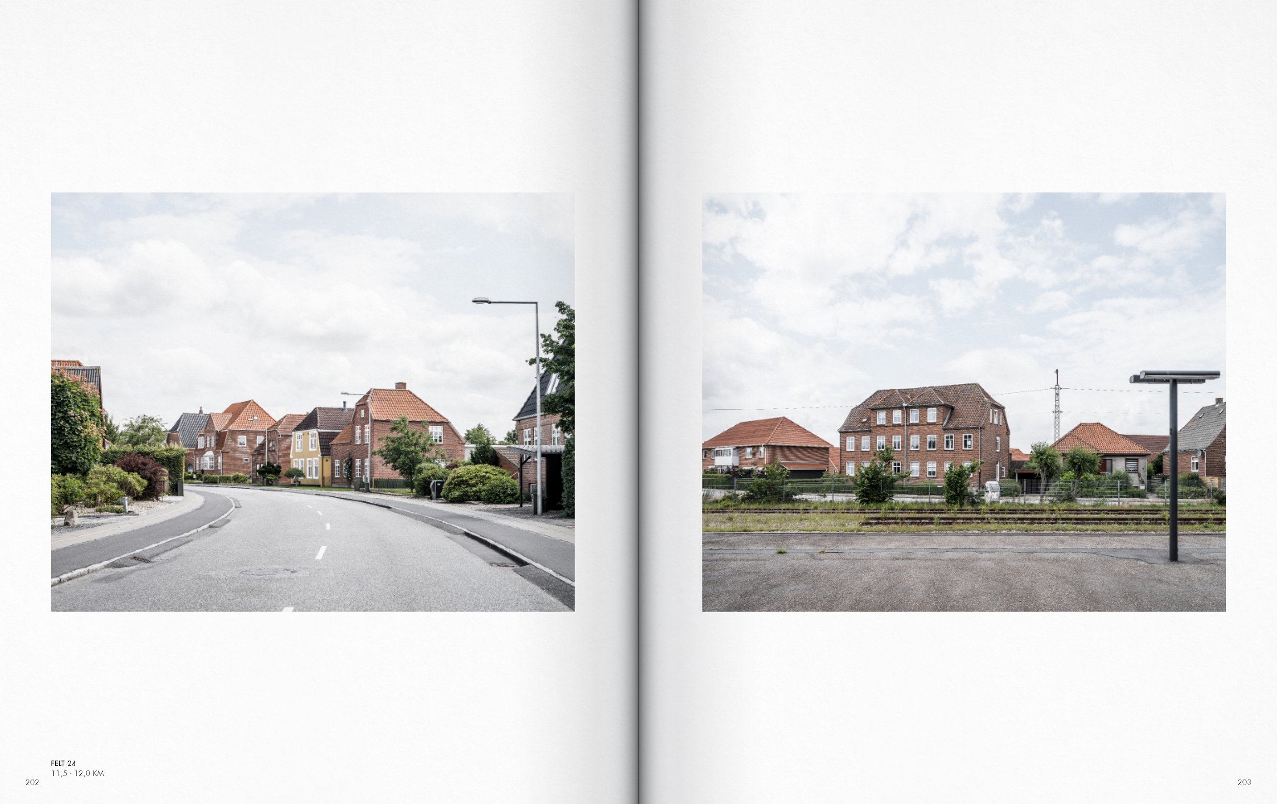
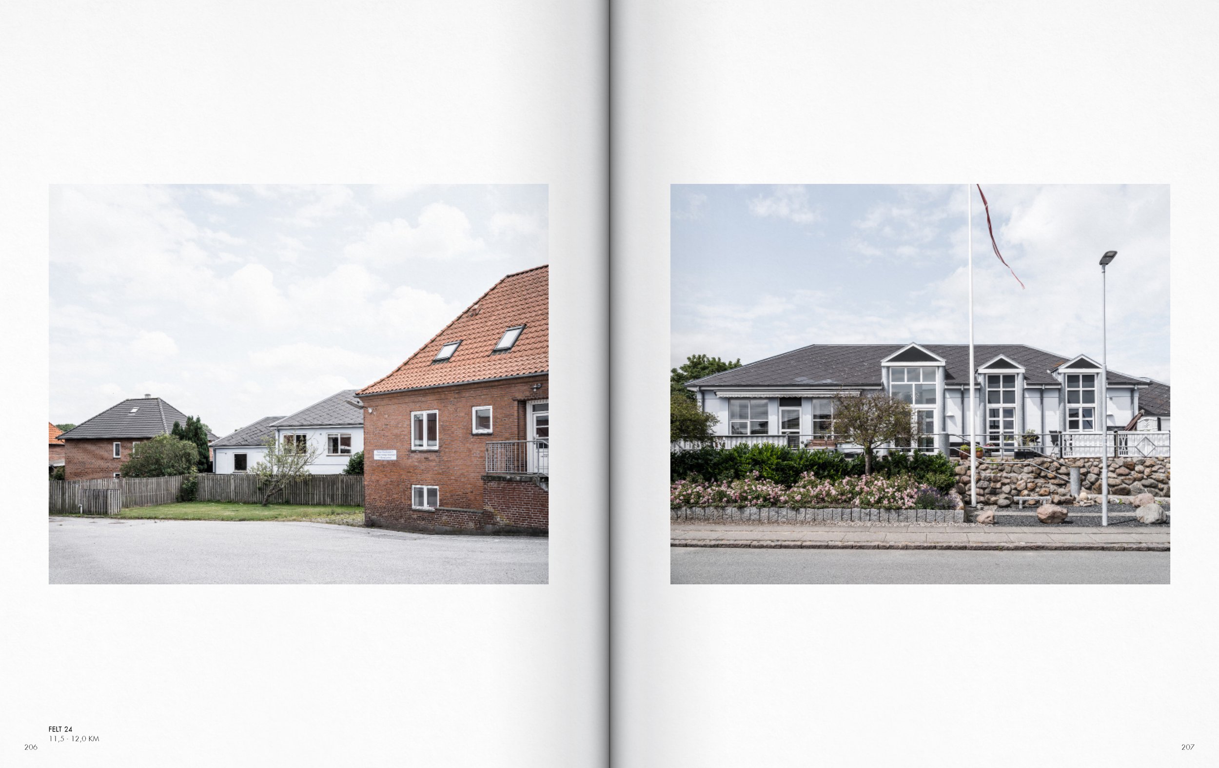
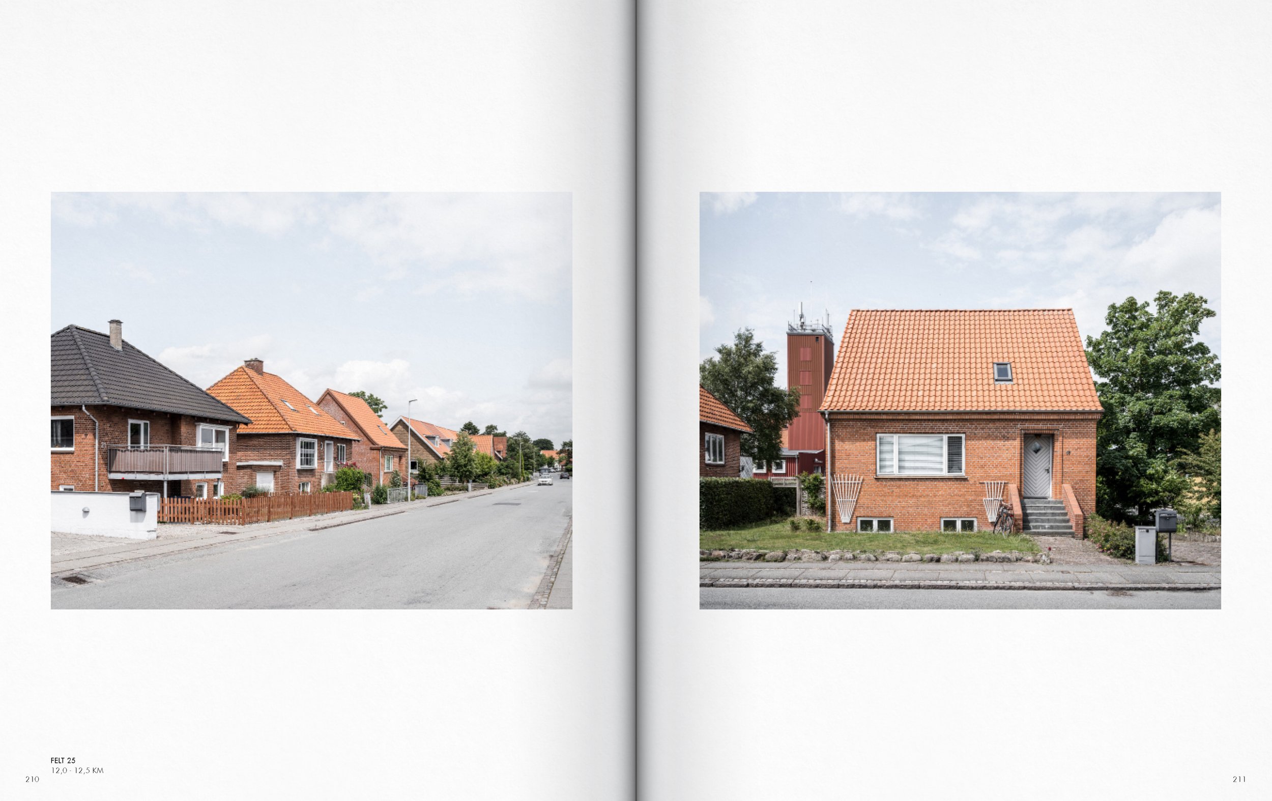
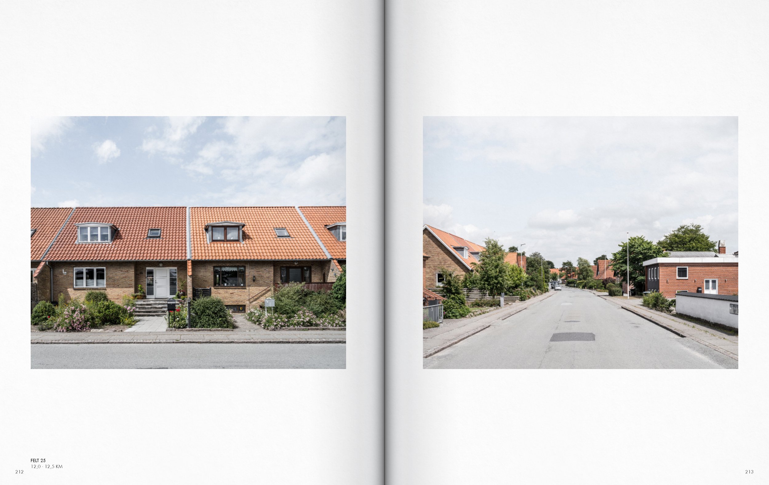
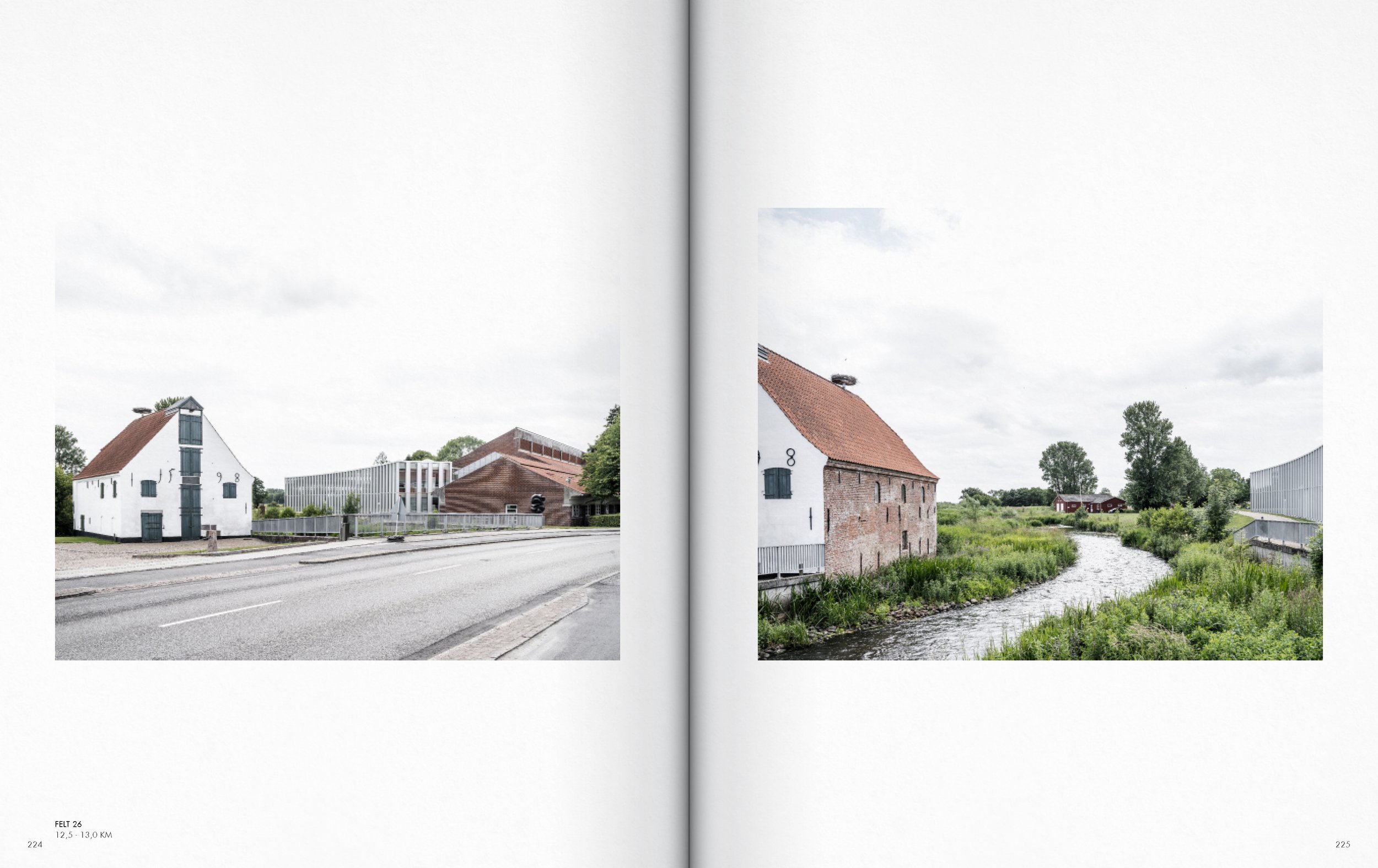
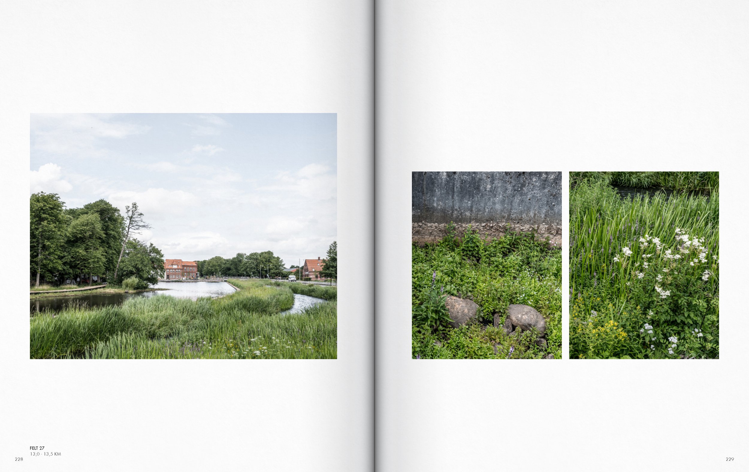
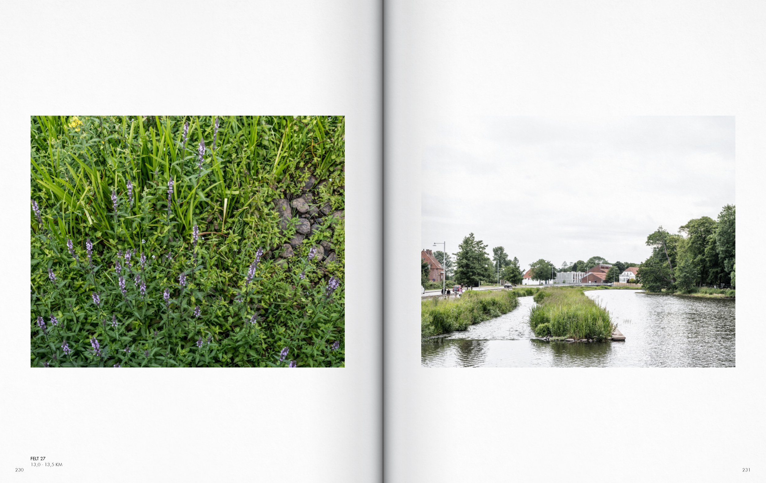
Section Højer - Tønder AA
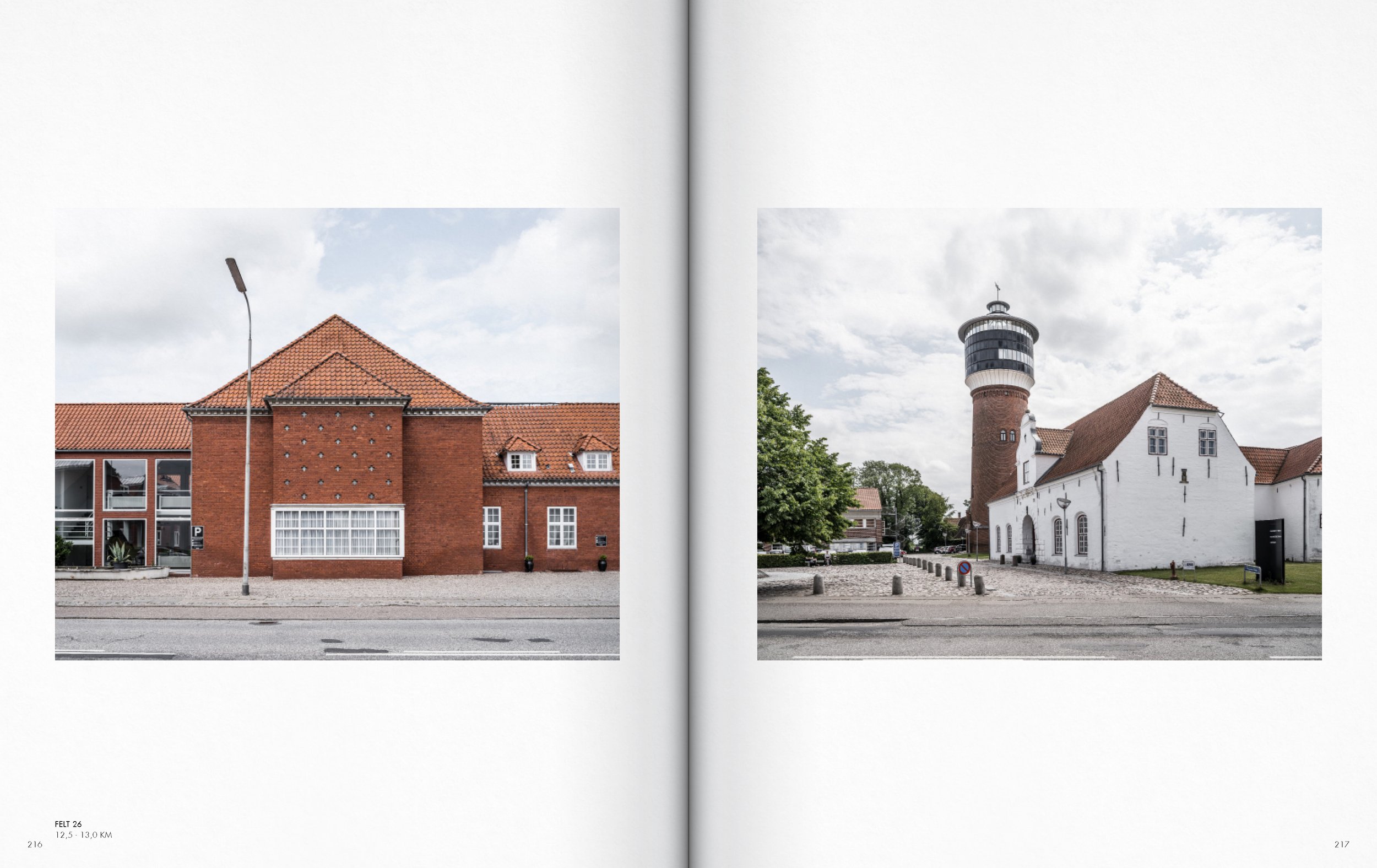
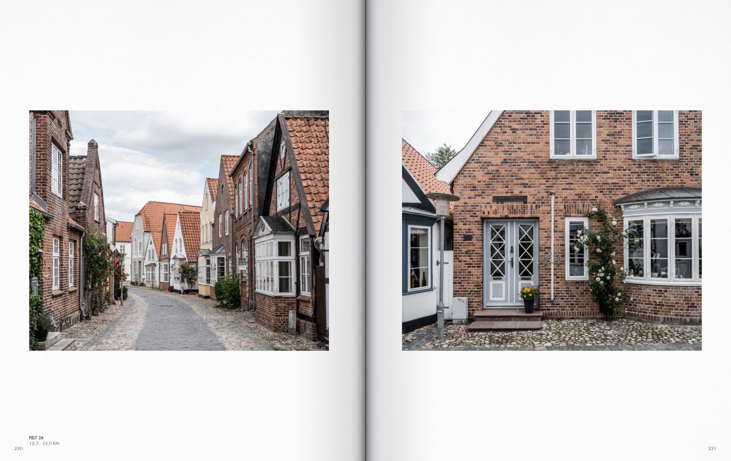
Section Højer - Tønder AA
Section Højer - Tønder AA
Section Højer - Tønder AA
Section Højer - Tønder AA

Section Højer - Tønder AA
Section Højer - Tønder AA
Section Højer - Tønder AA
Section Højer - Tønder AA

Section Højer - Tønder AA
Section Højer - Tønder AA
Section Højer - Tønder AA
Section Højer - Tønder AA
Section Højer - Tønder AA
Section Højer - Tønder AA
Section Højer - Tønder AA
Section Højer - Tønder AA
Section Højer - Tønder AA
Section Højer - Tønder AA

Section Højer - Tønder AA

Section Højer - Tønder AA

Section Højer - Tønder AA

Section Højer - Tønder AA
Section Højer - Tønder AA
Section Højer - Tønder AA

Section Højer - Tønder AA
Section Højer - Tønder AA
Section Højer - Tønder AA
Section Højer - Tønder AA
Section Højer - Tønder AA

Section Højer - Tønder AA
Section Højer - Tønder AA
Section Højer - Tønder AA
Section Højer - Tønder AA
Section Højer - Tønder AA
Section Højer - Tønder AA

Section Højer - Tønder AA
Section Højer - Tønder AA

Section Højer - Tønder AA

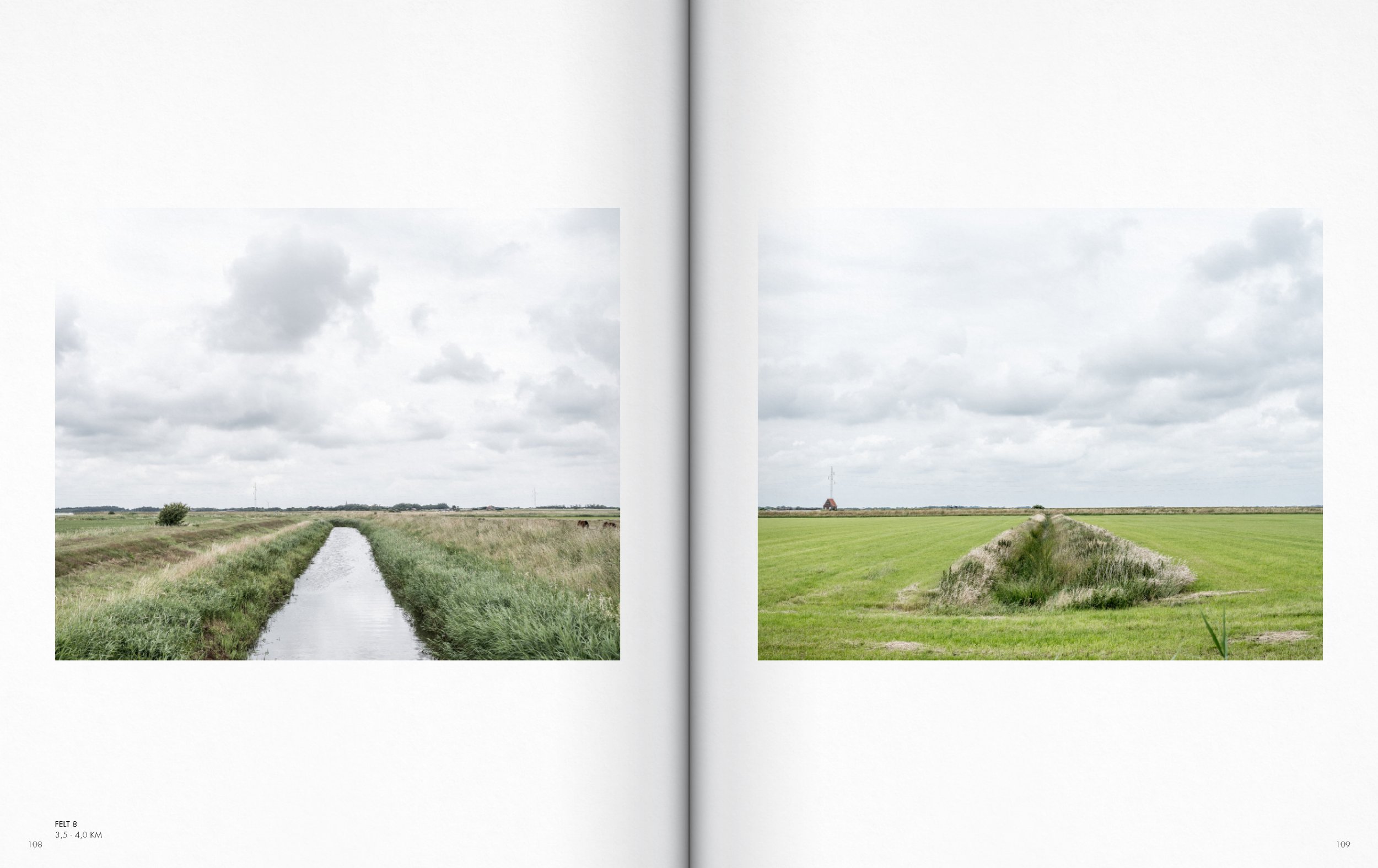

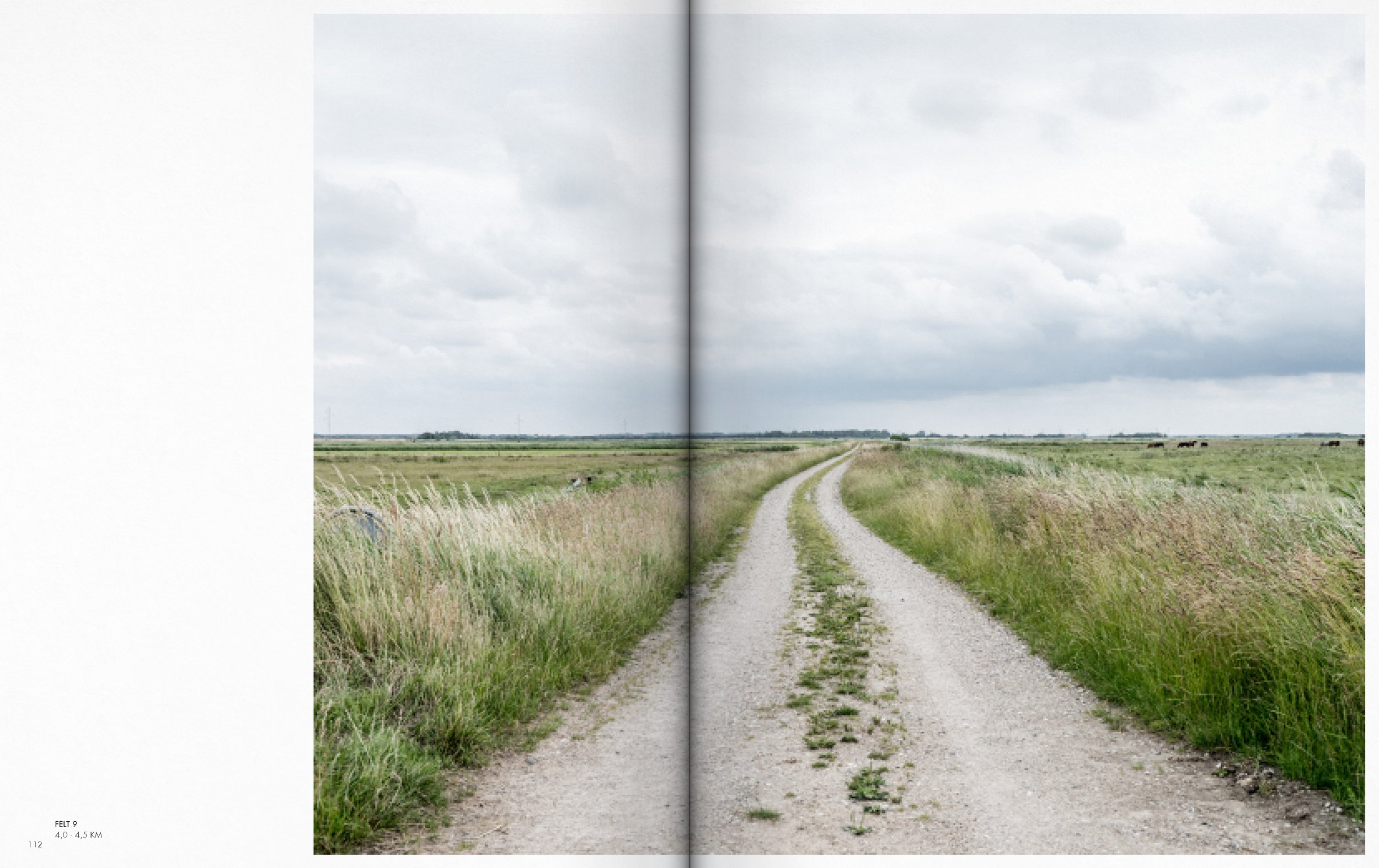


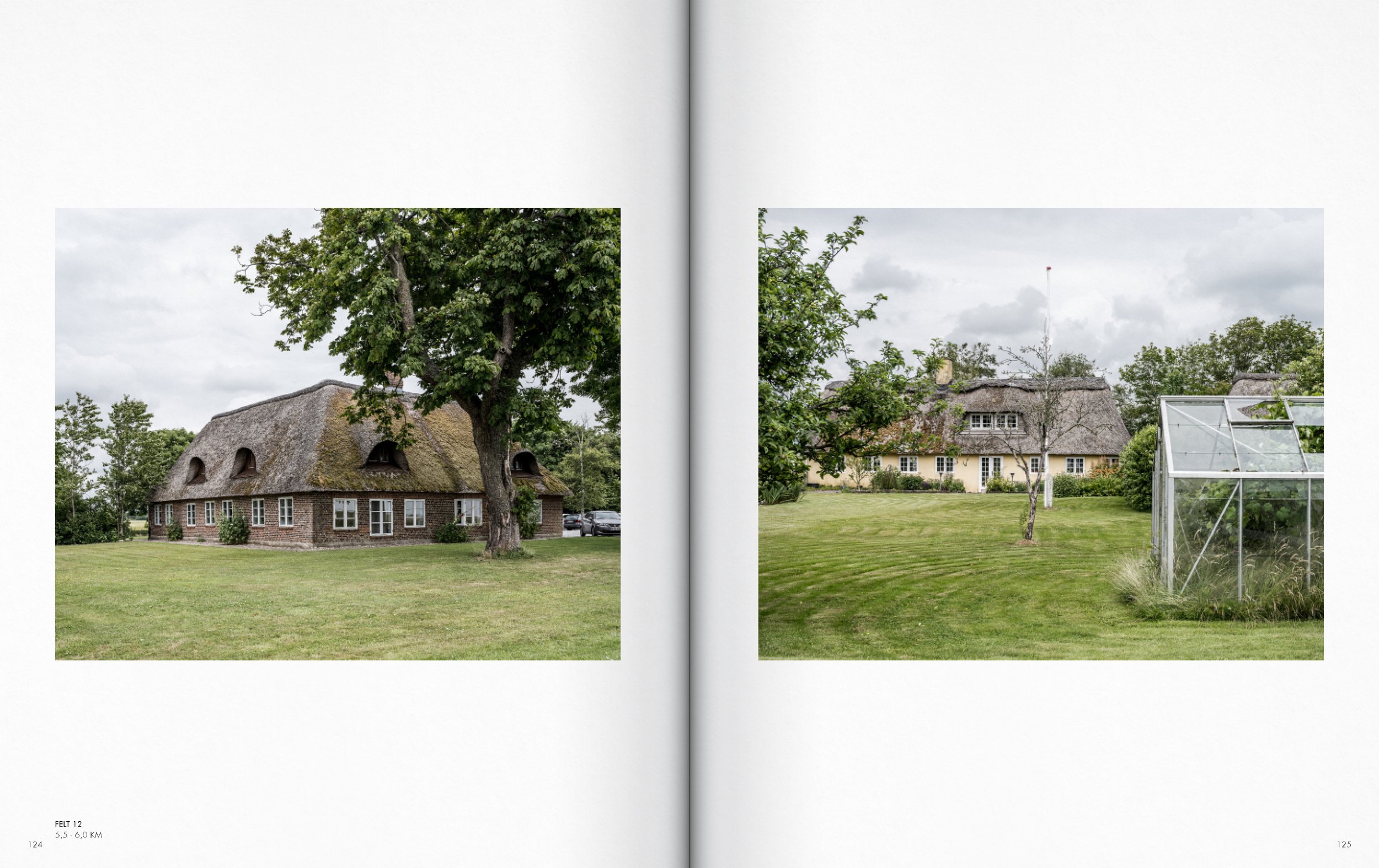


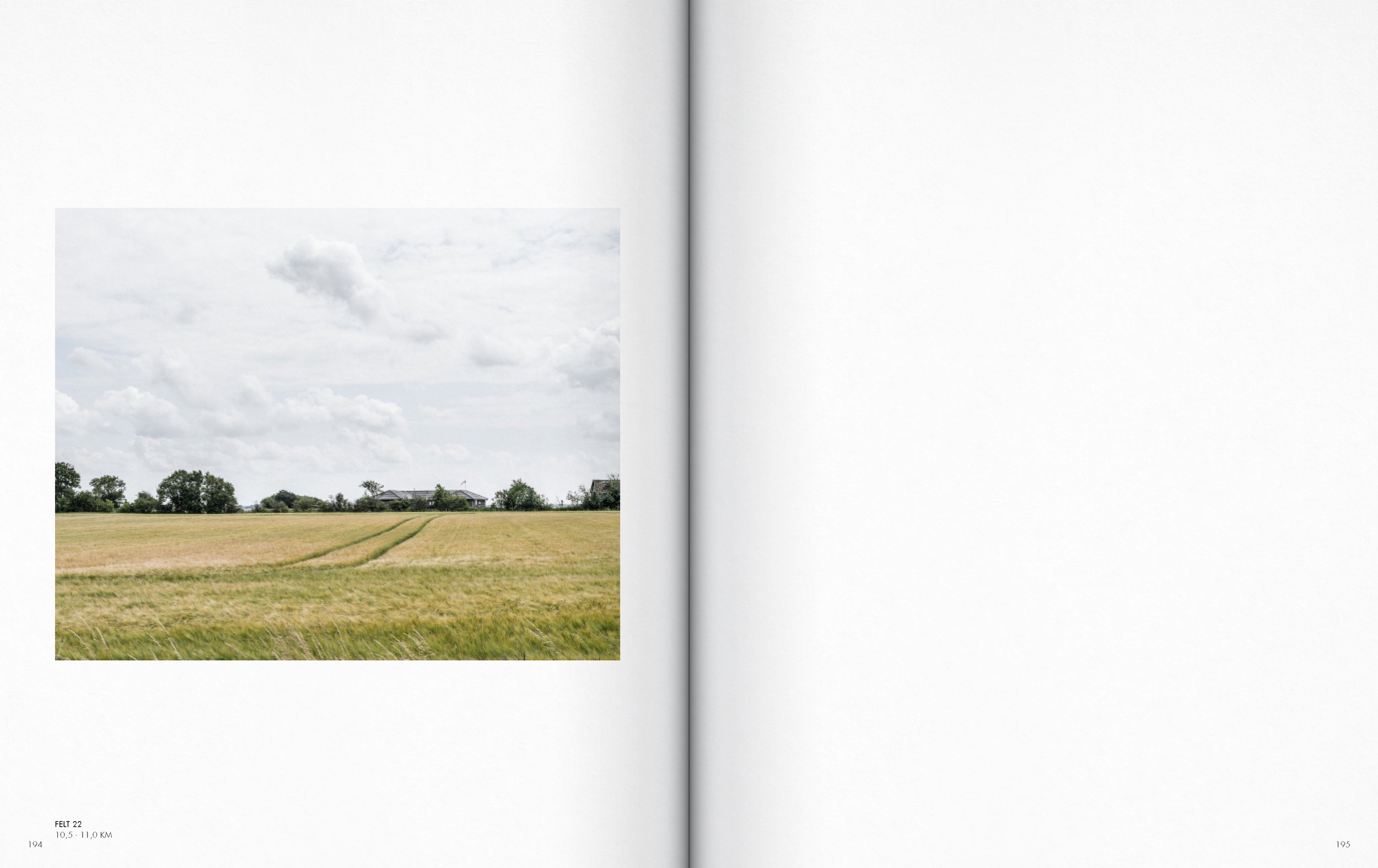


The thesis focuses on the representation of the immediate surroundings and the everyday landscapes, which are undergoing and will continue to undergo major material and immaterial changes that will significantly alter how the landscape is experienced, used, and represented. The goal is to create a lens through which the spatial and physical conditions of the coastal territory can be discussed and analyzed.
The image material is thus a snapshot or a picture of the state of the Danish urbanized coastal territory in a time when Denmark and other coastal nations are on the threshold of extensive physical change processes of both a natural and urban sort. In the human era – the Anthropocene.
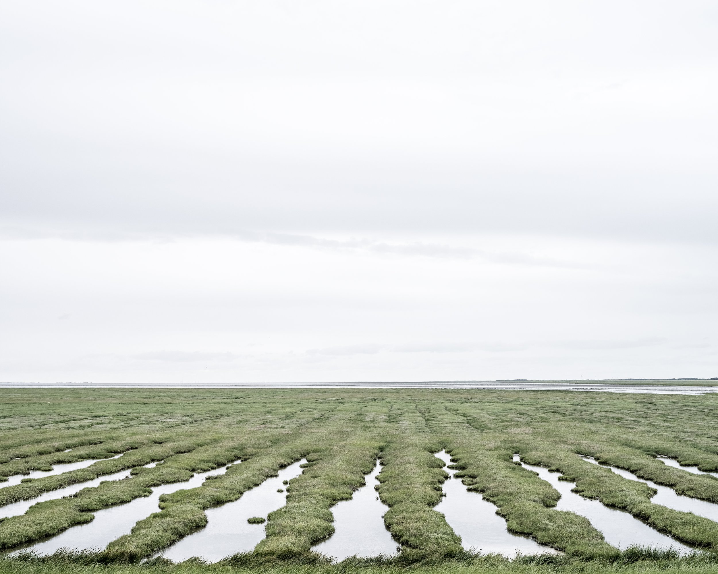
Margrethe Kog hinterland

Ph.D. thesis introductory chapters

Ph.D. thesis introductory chapters

Ph.D. thesis introductory chapters

Ph.D. thesis introductory chapters

Ph.D. thesis introductory chapters

Ph.D. thesis introductory chapters

Ph.D. thesis introductory chapters

Ph.D. thesis introductory chapters

Ph.D. thesis introductory chapters

Ph.D. thesis introductory chapters

Ph.D. thesis introductory chapters

Ph.D. thesis introductory chapters